Geospatial
<- Return to all blogs
-
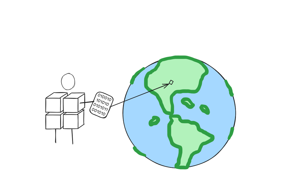
Building Conversational Interfaces for Querying and Analyzing Geospatial Data
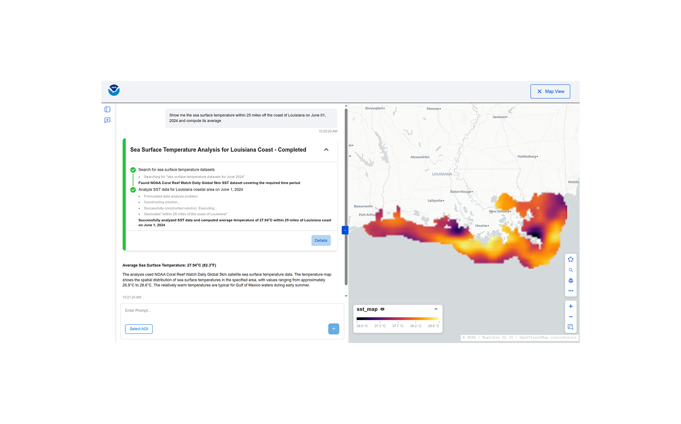
NOAA maintains thousands of datasets of various kinds (remote sensing, in-situ, derived etc.) across multiple domains (climate, weather, ecology, etc.) consumed by a wide variety of users (scientists, engineers, urban planners, etc.), but discovering, accessing, and using these datasets remains a significant challenge. Recent developments in cloud-native geospatial technologies and standards have made geospatial data…
-
Building Conversational Interfaces for Querying and Analyzing Geospatial Data
NOAA maintains thousands of datasets of various kinds (remote sensing, in-situ, derived etc.) across multiple domains (climate, weather, ecology, etc.) consumed by a wide variety of users (scientists, engineers, urban planners, etc.), but discovering, accessing, and using these datasets remains a significant challenge. Recent developments in cloud-native geospatial technologies and standards have made geospatial data…
-
If AI Is Going to Task Satellites, We Need Standards
It’s been about a month since North51 in Banff. For those who haven’t been, it’s a unique event on the geospatial calendar. It’s a small, single-track conference that fosters great group discussions rather than broadcasting lectures. There are no sales pitches here, just geospatial people staring at the same mountain range, trying to figure out…
-
AI Coding and the Future of Open-Source Geospatial Software
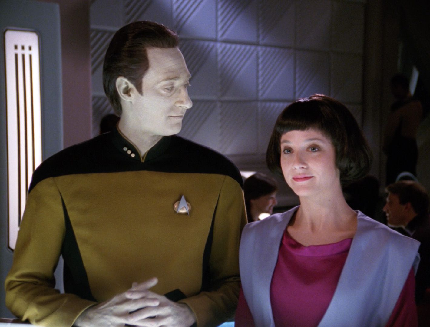
In an episode of Star Trek: The Next Generation, Commander Data (an android), creates a new android, Lal. His creation, paralleling the new generation of AI-assisted tools, extends her creator’s capabilities but also begins to operate autonomously. Lal begins to learn, evolve, and act independently, faster than Data can fully guide her. Eventually, she is…
-
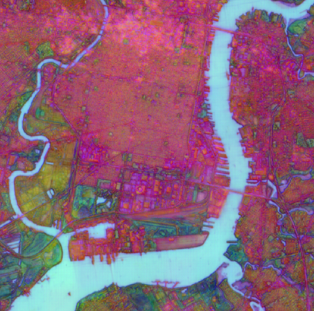
Exploring AlphaEarth Embeddings
Earlier this year, in July 2025, Google DeepMind contributed to the conversation on Earth Observation (EO) foundation models and vector embeddings by releasing a dataset of EO vector embeddings generated by their new AlphaEarth Foundations (AEF) model. Originally released only inside Google Earth Engine, these embeddings were finally made publicly and freely available on Source…
-
Metadata makes the data format: metadata storage and representation across array formats
In this continuation of our recent raster data format blog series we discuss metadata: how do COG and Zarr represent metadata and how can geospatial coordinate metadata be represented across different formats? Where should metadata be stored? and more!
-
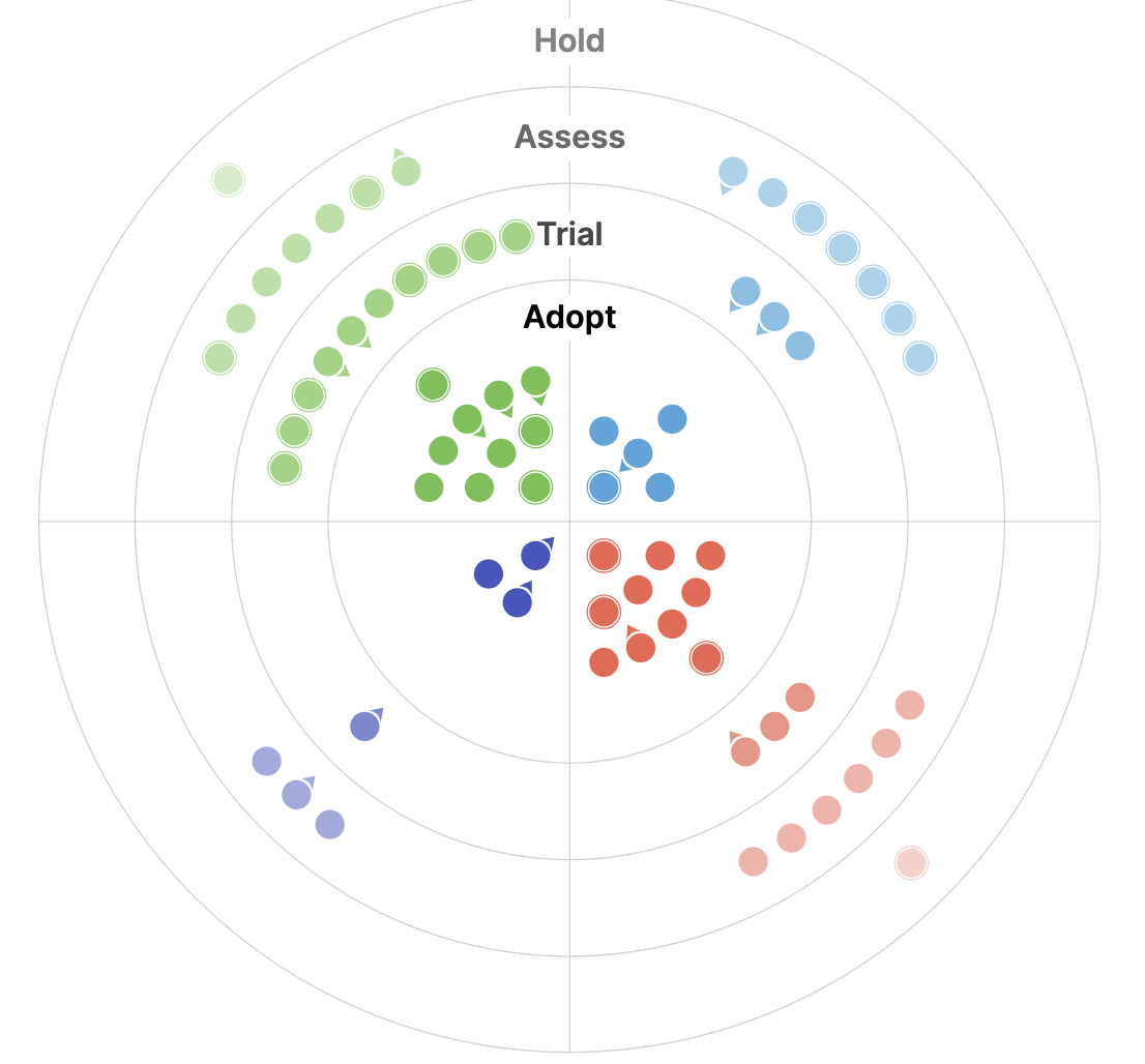
The 2025 Geospatial Tech Radar: Agentic AI, EO Embeddings, and Cloud-Native Maturity
We analyze trends and highlights from the third iteration of our Geospatial Tech Radar including Agentic AI and MCP, EO Foundation Models and Embeddings, and the solidification of Cloud-Native Geospatial.
-
STAC: A Retrospective, Part 2 (Why STAC was Successful)
In Part 1 of this series we covered the origin story of STAC, exploring the history and the initial sprints that created the spec. Now, it’s time to cover the how and the why of its success.
-
Mobilizing Metadata; using STAC to Manage Risk in the Reinsurance Industry
Data doesn’t have any value unless you can use it… and trust it. Users need to quickly access data and know where it came from. This is especially true with the integration of AI, making quick access more achievable but data provenance more opaque. This is where STAC comes in. The reinsurance industry uses climate…

-
Perceived Gaps in Earth Observation
At Element 84, our team looks forward to the Spring season and the return of a busy conference schedule every year. Our time attending, presenting, and learning at conferences helps us to feel connected and plugged into trends in the geospatial industry and beyond. It also allows us to receive feedback on our team’s latest…
-
Zarr + STAC
As part of our work writing a STAC + Zarr Report for the Cloud Optimized Geospatial Formats Guide our team is exploring the partially overlapping goals of STAC and Zarr and offering suggestions for how to use them together. This effort is particularly relevant currently due to several recent developments in the space that we…