Data Science
<-Return to all blogs
![]()
Using Kerchunk to make NOAA’s National Water Model Dataset more accessible
In this blog, we discuss our experience using Kerchunk to improve access times to short-range streamflow predictions generated by NOAA’s National Water Model Predictions Dataset, achieving a speedup of 4 times, using 16 times less memory.
Cloud Optimized Formats: NetCDF-as-Zarr Optimizations and Next Steps
At Element 84 we help groups rethink how they approach technology and are particularly focused on supporting migration to the cloud. As we moved from local hard drives to the cloud, there are things we took for granted when it came to file formats. On your own hard drive reads are cheap and latency is […]
Deconstructing Analysis-Ready Data
The 4th Analysis Ready Data (ARD) Workshop was held virtually in October 2021. Consisting of ten minute lightning talks packed into 1 hour sessions, participants from government and industry presented developments in “Analysis Ready Data”. Each day followed a specific theme such as calibration and validation, standards, time series, optical, SAR, and vegetation. The problem? […]
White Paper: Creating a GEDI Geo-Locator
Remote sensing instruments like NASA’s GEDI, which is mounted to the Japanese Experiment Module – Exposed Facility (JEM-EF) on the International Space Station (ISS), produce a massive amount of data and one of the tools scientists use when working with those data is a geo-locator–a geographic coordinates search engine. GEDI, launched in 2018, is the […]
COVID-19 Cases Over Time with Kepler.gl
This blog post discusses how to quickly visualize data, like that of COVID-19. We are not medical experts and the visualizations have not been peer reviewed. We recommend visiting data sources, like the CDC, for data on COVID-19. Data visualizations have been crucial to communicating the severity of the COVID-19 pandemic. Problems like this benefit […]
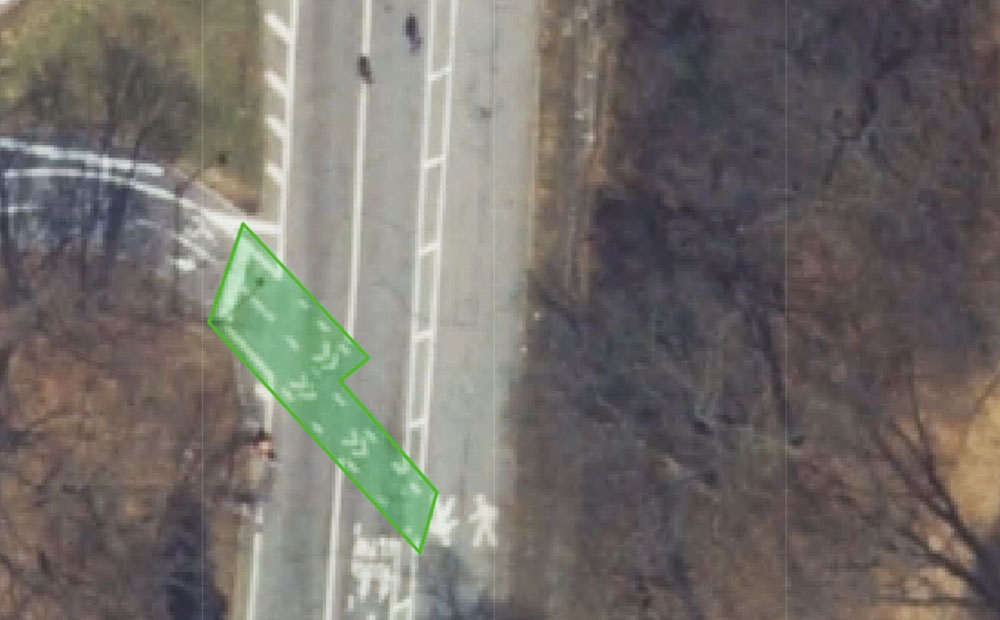
Is This a Crosswalk?: 5 Takeaways from Training a Data Labeling Team
We trained remote computer vision workers to provide data labeling for machine learning projects. Here’s what we learned.
E84 @ 2019 ESIP Summer Meeting
We’re passionate about Earth Science Data and helping to solve the challenges in that field. At this year’s ESIP Summer Meeting, we have five E84 team members speaking and moderating across six different sessions, with an additional four of us out there to chat and support the event. Here’s where you can find us if […]
Cloud Optimized GeoTIFF vs the Meta Raster Format
If you are working with geospatial data visualizations you have probably heard of Cloud Optimized GeoTIFFs and may also have heard of the Meta Raster Format. These formats both provide efficient access to visualization data and have similar goals. The popular GDAL library supports both. So what are the differences, and when would you choose […]
Analyzing Capital Bikeshare Usage Data From The Command Line
Beginning this year, I set a goal to learn more about Linux and how I can become better at using the terminal. I then stumbled on this blog piece from Netflix on analyzing Linux performance and decided to try something similar. What is my goal? Given some data, what are quick stats that I can […]

