Machine Learning
<- Return to all blogs
-
Running ROCm 5.4.2, ONNX, and PyTorch on a SteamDeck
In this blog post, we’ll guide you through setting up ROCm 5.4.2, ONNX, and PyTorch on a SteamDeck.
-
Running ROCm 5.4.2, ONNX, and PyTorch on a SteamDeck
In this blog post, we’ll guide you through setting up ROCm 5.4.2, ONNX, and PyTorch on a SteamDeck.
-
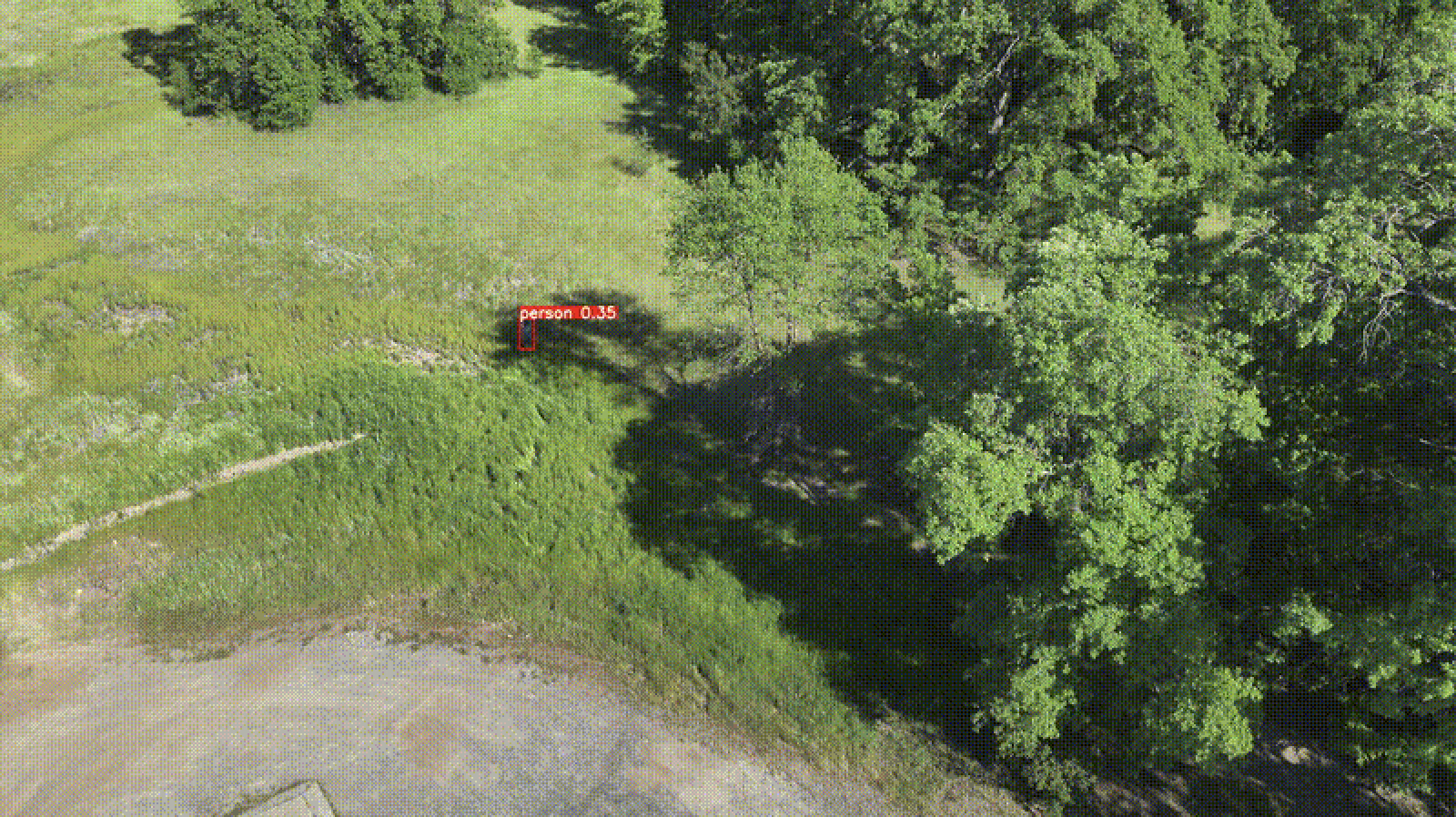
Streamlining search-and-rescue operations using machine learning on the edge
In this blog, we discuss various improvements that we have made to the proposed workflow first discussed in our previous blog post focused on edge processing of drone imagery for search-and-rescue.
-
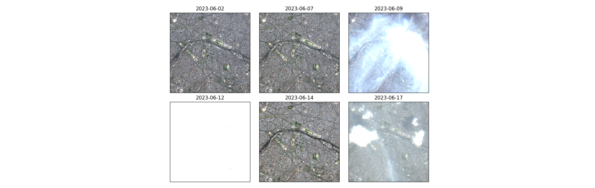
Exploring unsupervised change detection with Sentinel-2 vector embeddings
In this blog post, we explore the application of a foundation model pre-trained on Sentinel-2 imagery, to the downstream task of change detection.
-
Introducing Raster Vision v0.21
In this post we highlight the major changes rolled out in the latest update of Raster Vision, our open-source ML library.
-
Edge Processing of Drone Data for Search and Rescue using Open Source Tooling on an AWS Snowcone
Element 84 has developed near real-time edge processing of drone and aerial imagery for human identification that leverages machine learning and AWS Snowcone edge capabilities during austere operations for search and rescue applications.
-
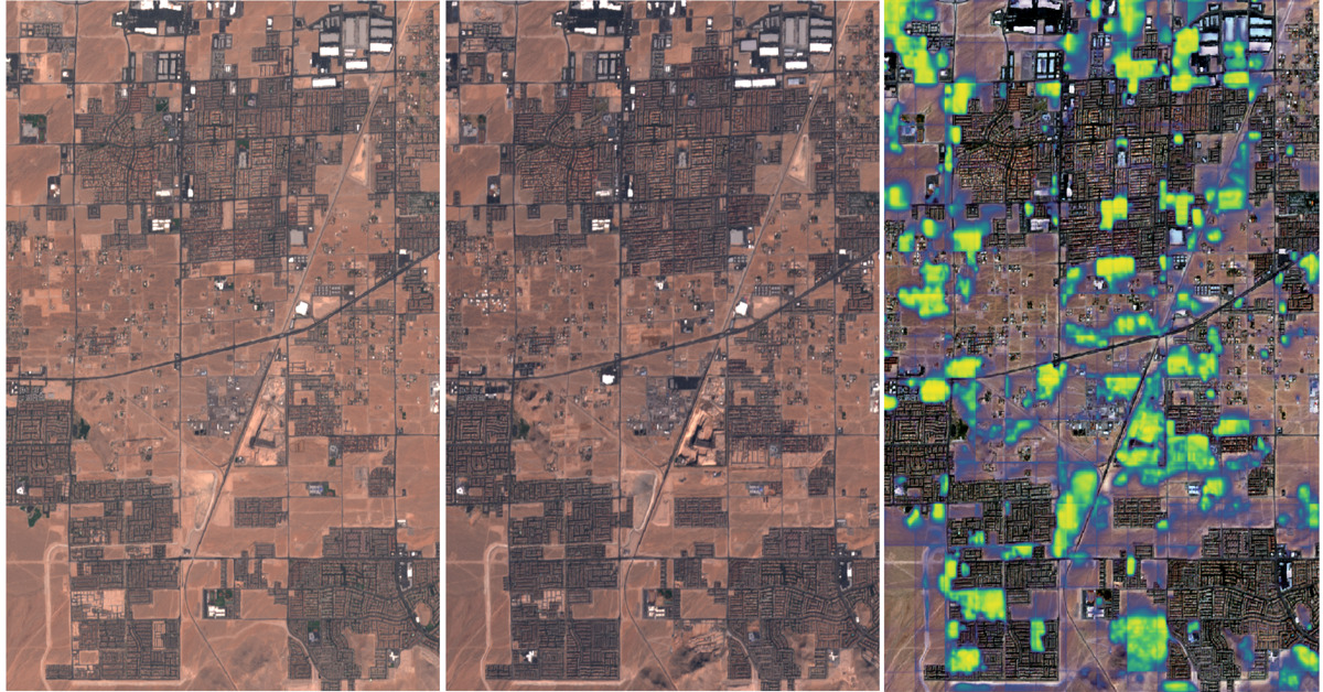
Unleashing the Power of Geospatial AI: Elevating our Machine Learning Offerings
We outline recent projects tackling complex challenges through the lens of Machine Learning and discuss how our past experience will shape future work.

-
Change detection with Raster Vision
This blog explores the direct classification approach to change detection using our open-source geospatial deep learning framework, Raster Vision, and the publicly available Onera Satellite Change Detection (OSCD) dataset.
-
Managing Data Labeling for Machine Learning Projects
Responsible for the data labeling for a machine learning project? Here are some insights we’ve developed while managing data labeling for machine learning.
-
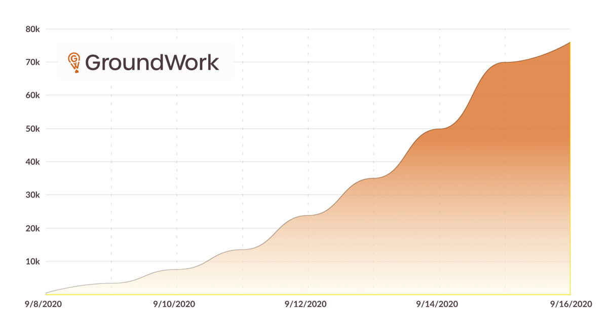
Groundwork STAC Labeling Competition
STAC Labeling Competition In 2020, we ran a labeling competition using GroundWork as part of the Cloud Native Geospatial Sprint organized by Radiant Earth Foundation. Try GroundWork free -> About the competition At the end of 2020, we ran a labeling competition using GroundWork as part of the Cloud Native Geospatial Sprint organized by Radiant Earth Foundation. We wrote…
-
An Introduction to Satellite Imagery and Machine Learning
Today, the availability of satellite imagery still far outpaces our capacity to analyze it, but machine learning and tools like Raster Vision are helping.