Community
<- Return to all blogs
-
STAC: A Retrospective, Part 2 (Why STAC was Successful)
In Part 1 of this series we covered the origin story of STAC, exploring the history and the initial sprints that created the spec. Now, it’s time to cover the how and the why of its success.
-
STAC: A Retrospective, Part 2 (Why STAC was Successful)
In Part 1 of this series we covered the origin story of STAC, exploring the history and the initial sprints that created the spec. Now, it’s time to cover the how and the why of its success.
-
STAPI Sprint #4: Interoperability for Satellite Data Ordering
During our most recent STAPI sprint we brought together attendees from across the geospatial industry to discuss interoperability for satellite data ordering.

-
Updating our Geospatial Technology Radar for 2024
We introduce the second iteration of our geospatial technology radar, which is designed as a resource for the community to outline impactful technologies in the space.

-
Announcing our 2023 Geospatial Tech Radar
Ahead of this year’s FOSS4G North America gathering, we’re rolling out a 2023 edition of our Geospatial Tech Radar idea, which we plan to update annually to track what’s up-and-coming in geospatial techniques, standards, data, and tools/platforms.В

-
STAC: A Retrospective, Part 1
In the first installment of this two-part retrospective, we dive into the history of STAC (SpatioTemporal Asset Catalog) and outline its history.
-
Selecting a Geospatial Mastodon Server for Individuals and Businesses
At Azavea, interacting with and contributing to the geospatial community is a perpetual highlight of our work. For many years, Twitter has represented a hub of activity within the professional geospatial sphere, and we’ve enjoyed interacting with community members and sharing our work through the platform. In light of the uncertain future of Twitter, both…

-
The Bread and Butter of Software Development: Informing My Learning Through Professional Baking
Azavean Rachele Morino outlines her career transition from baking to software engineering, and where the two professions overlap.
-
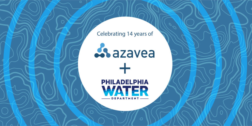
14 Years of Helping to Manage Stormwater in Philadelphia
A recap of Azavea’s partnership with the Philadelphia Water Department to support stormwater management through Philadelphia’s Green City, Clean Waters plan.
-
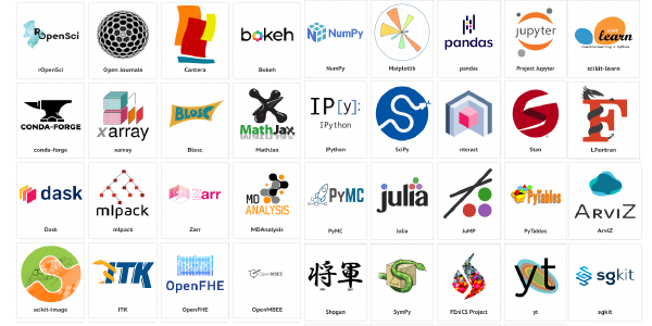
1% For Open Source: Financial Support for Tools We Use
We donate a portion of our profits each year to support open source projects nominated by our team.
-
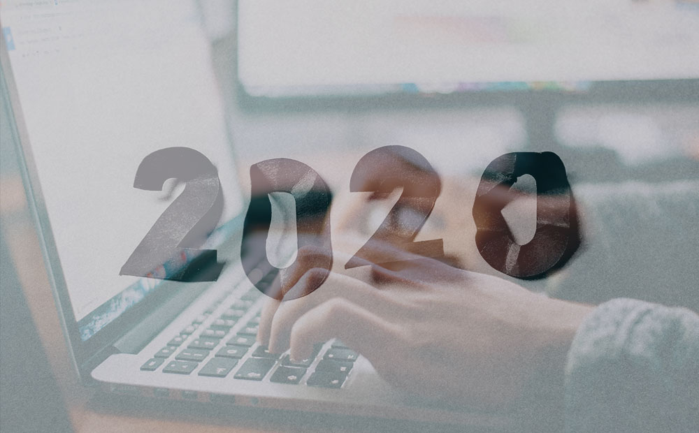
A Day in the Work-Life in 2020
2020 was awful. Who was accessible changed radically. We, and the people around us, by necessity took on different roles. Including at work.