Open Source
<- Return to all blogs
-
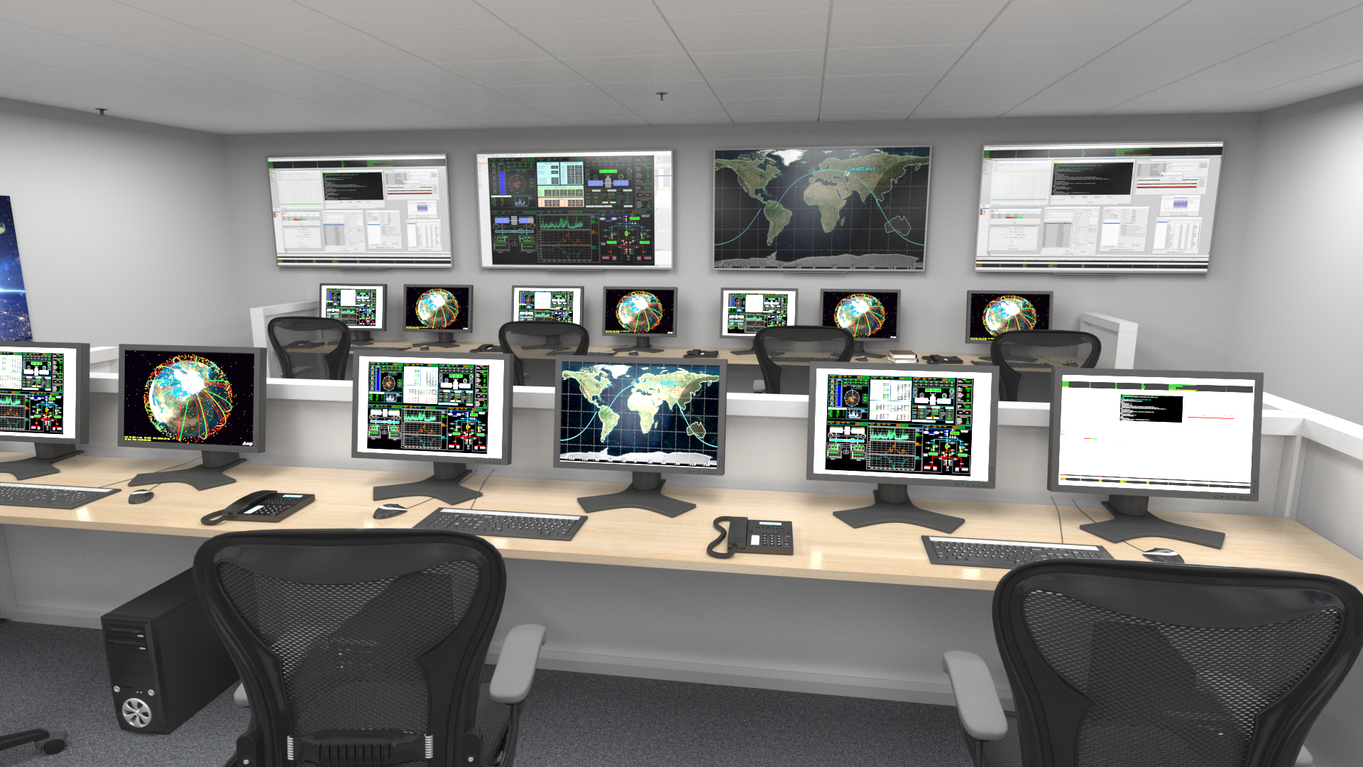
If AI Is Going to Task Satellites, We Need Standards
It’s been about a month since North51 in Banff. For those who haven’t been, it’s a unique event on the geospatial calendar. It’s a small, single-track conference that fosters great group discussions rather than broadcasting lectures. There are no sales pitches here, just geospatial people staring at the same mountain range, trying to figure out…
-
STAC: A Retrospective, Part 2 (Why STAC was Successful)
In Part 1 of this series we covered the origin story of STAC, exploring the history and the initial sprints that created the spec. Now, it’s time to cover the how and the why of its success.
-
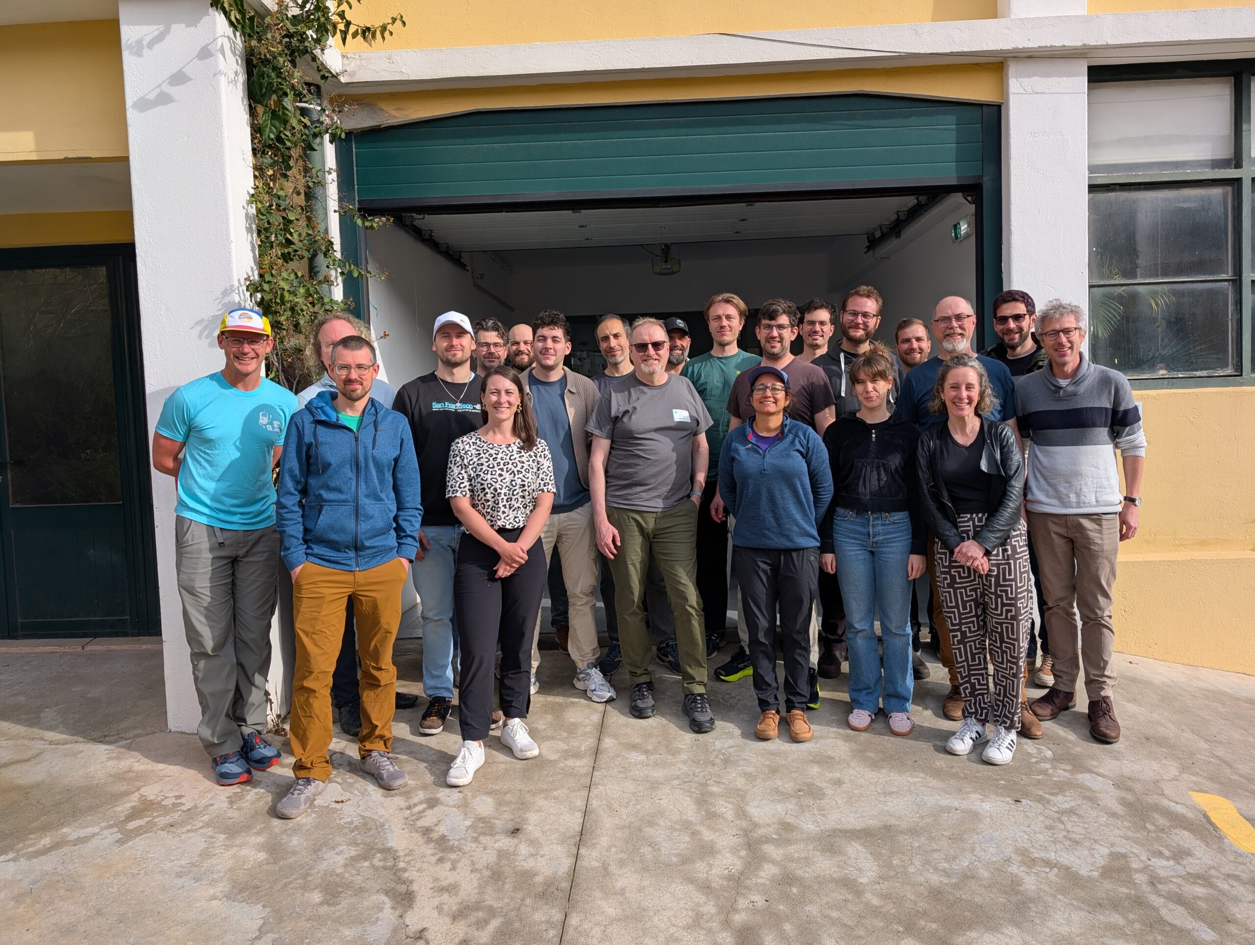
STAPI Sprint #5: 0.1 Release
We recap our most recent STAPI Sprint in Lisbon. We worked toward evolving the satellite data ordering process, and released version 0.1.
-
STAPI Sprint #4: Interoperability for Satellite Data Ordering
During our most recent STAPI sprint we brought together attendees from across the geospatial industry to discuss interoperability for satellite data ordering.

-
Updating our Geospatial Technology Radar for 2024
We introduce the second iteration of our geospatial technology radar, which is designed as a resource for the community to outline impactful technologies in the space.

-
Introducing Earth Search Console: An AWS Open Data Exploration UI
In this blog, we’ll detail how Earth Search Console leverages FilmDrop, and what Console components we are most excited about.

-
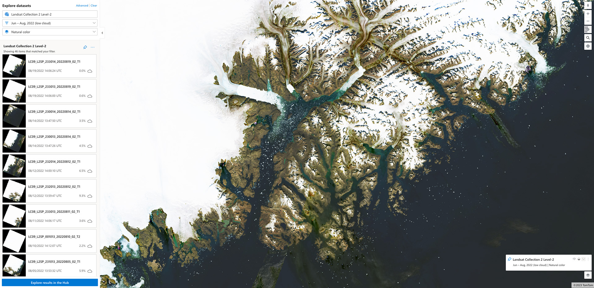
Introducing Earth Search v1: New datasets now available
We outline the latest from Earth Search: an endpoint that hosts a catalog of Sentinel-2 and Landsat data to improve data accessibility.

-
How Microsoft’s Planetary Computer Uses STAC
We show how components of the Planetary Computer are based on both cloud-optimized formats & the STAC spec, and how this work benefits the larger community.
-
Deconstructing Analysis-Ready Data
The 4th Analysis Ready Data (ARD) Workshop was held virtually in October 2021. Consisting of ten minute lightning talks packed into 1 hour sessions, participants from government and industry presented developments in “Analysis Ready Data”. Each day followed a specific theme such as calibration and validation, standards, time series, optical, SAR, and vegetation. The problem?…
-
Mapping with Leaflet and React
Mapping is hard, but spinning up a new app that renders maps doesn’t have to be. Here’s how you can easily get started working with maps in a new React app. Not that AAA map under your car seat Maps have been around for thousands of years, but they’ve become more complex and powerful within…