Machine Learning
<- Return to all blogs
-
Introducing Raster Vision v0.21
In this post we highlight the major changes rolled out in the latest update of Raster Vision, our open-source ML library.
-
Introducing Raster Vision v0.21
In this post we highlight the major changes rolled out in the latest update of Raster Vision, our open-source ML library.
-
Edge Processing of Drone Data for Search and Rescue using Open Source Tooling on an AWS Snowcone
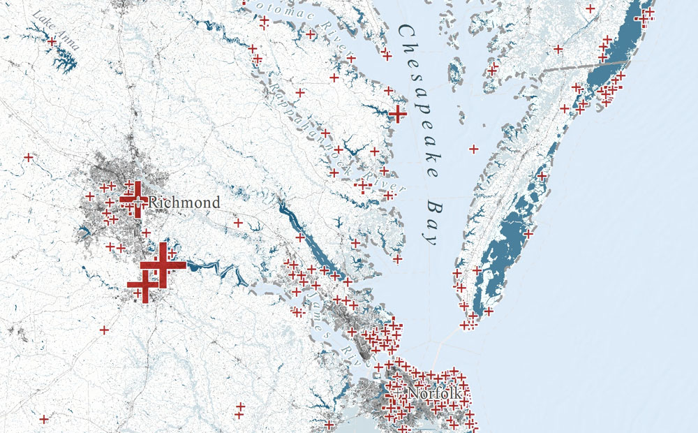
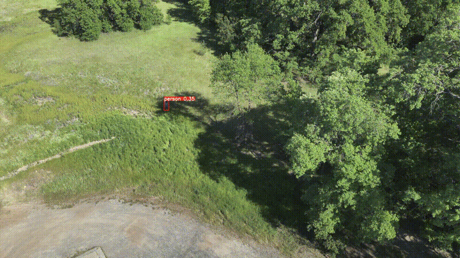
Element 84 has developed near real-time edge processing of drone and aerial imagery for human identification that leverages machine learning and AWS Snowcone edge capabilities during austere operations for search and rescue applications.
-
Unleashing the Power of Geospatial AI: Elevating our Machine Learning Offerings
We outline recent projects tackling complex challenges through the lens of Machine Learning and discuss how our past experience will shape future work.

-
Change detection with Raster Vision
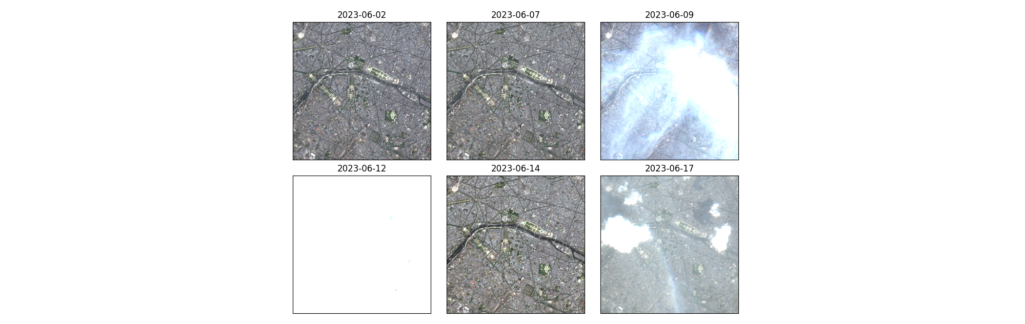
This blog explores the direct classification approach to change detection using our open-source geospatial deep learning framework, Raster Vision, and the publicly available Onera Satellite Change Detection (OSCD) dataset.
-
Managing Data Labeling for Machine Learning Projects
Responsible for the data labeling for a machine learning project? Here are some insights we’ve developed while managing data labeling for machine learning.
-
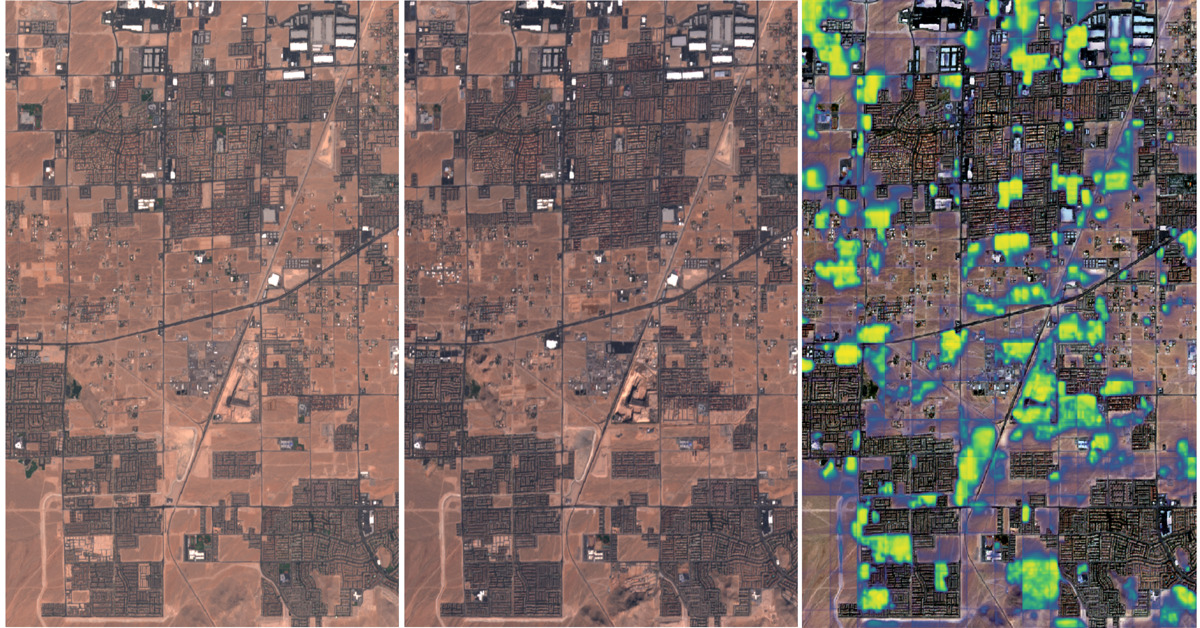
An Introduction to Satellite Imagery and Machine Learning
Today, the availability of satellite imagery still far outpaces our capacity to analyze it, but machine learning and tools like Raster Vision are helping.
-
Raster Vision 0.9 Release Candidate
This release of Raster Vision includes bug fixes, an easier setup, improved performance, and the ability to train models off of labels in OSM.
-
E84 Lab Notes: Machine Learning with SageMaker
In a previous post we showed how the E84 R&D team used RoboSat by Mapbox to prepare training data, train a machine learning model, and run predictions on new satellite imagery. In this example, we’re going to use the same imagery source and label data as a proxy for data produced by our AWS disaster…
-
E84 Lab Notes: Machine Learning with RoboSat
Recently, the E84 R&D team has been experimenting with machine learning pipelines and identifying potential use cases. There are a lot of new and exciting tools out there and we’re interested in exploring what’s available, particularly tools related to satellite and aerial imagery (one of our specialties). Mapbox‘s RoboSat was released earlier this year and…
-
Evaluating Machine Learning Models in R: Predicting Marine Debris
Evaluating machine learning models in R with a focus on how to handle biased and imperfect data, specifically volunteer collected marine debris data.