STAC
<- Return to all blogs
-
If AI Is Going to Task Satellites, We Need Standards
It’s been about a month since North51 in Banff. For those who haven’t been, it’s a unique event on the geospatial calendar. It’s a small, single-track conference that fosters great group discussions rather than broadcasting lectures. There are no sales pitches here, just geospatial people staring at the same mountain range, trying to figure out…
-
STAC: A Retrospective, Part 2 (Why STAC was Successful)
In Part 1 of this series we covered the origin story of STAC, exploring the history and the initial sprints that created the spec. Now, it’s time to cover the how and the why of its success.
-
Mobilizing Metadata; using STAC to Manage Risk in the Reinsurance Industry
Data doesn’t have any value unless you can use it… and trust it. Users need to quickly access data and know where it came from. This is especially true with the integration of AI, making quick access more achievable but data provenance more opaque. This is where STAC comes in. The reinsurance industry uses climate…

-
Zarr + STAC
As part of our work writing a STAC + Zarr Report for the Cloud Optimized Geospatial Formats Guide our team is exploring the partially overlapping goals of STAC and Zarr and offering suggestions for how to use them together. This effort is particularly relevant currently due to several recent developments in the space that we…
-
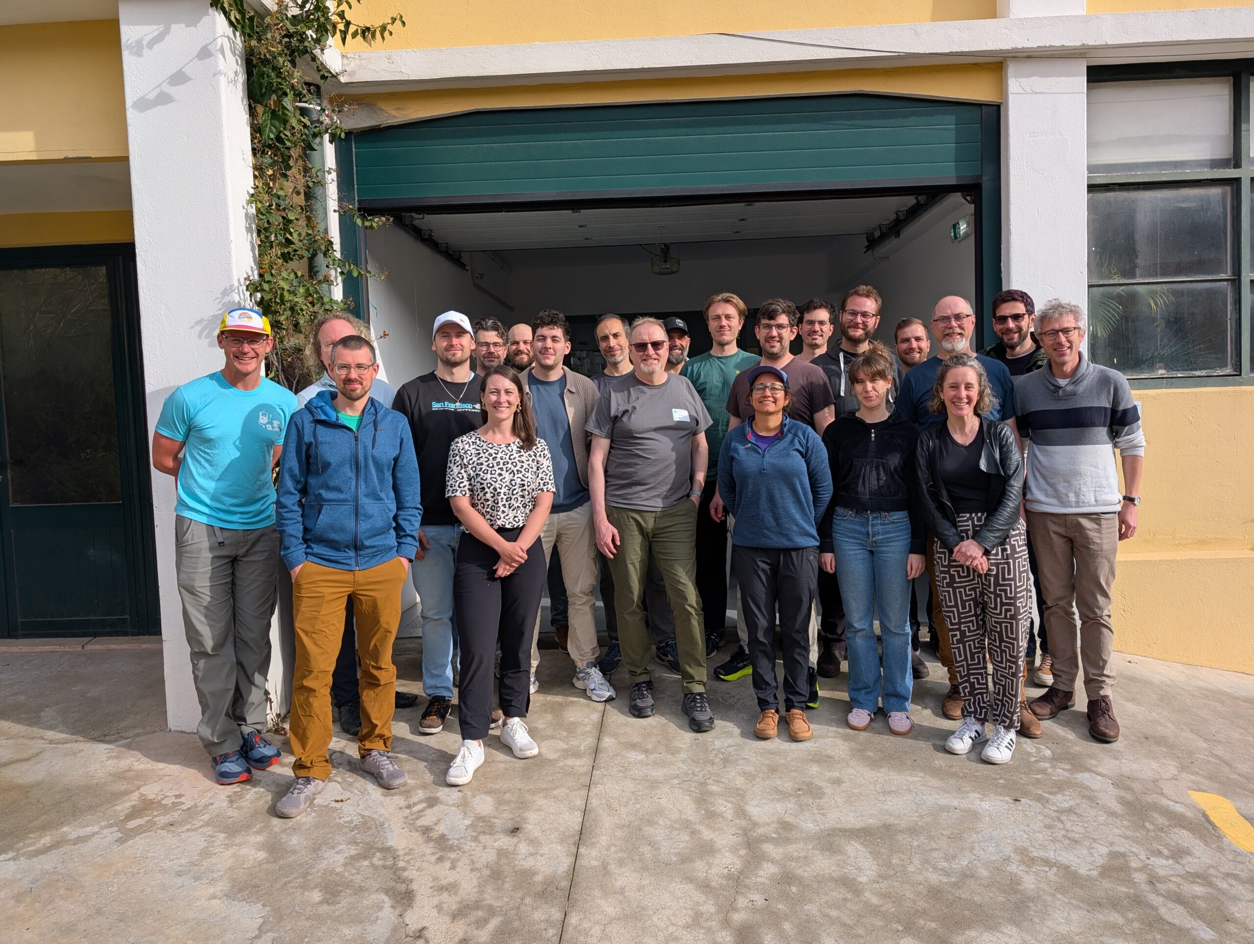
STAPI Sprint #5: 0.1 Release
We recap our most recent STAPI Sprint in Lisbon. We worked toward evolving the satellite data ordering process, and released version 0.1.
-
Updating our Geospatial Technology Radar for 2024
We introduce the second iteration of our geospatial technology radar, which is designed as a resource for the community to outline impactful technologies in the space.

-
Tasking Sprint #3 Recap
The Berlin tasking sprint was a significant step forward in the documentation and details of the specification, while we also developed the foundation of an ecosystem to prove out STAPI.

-
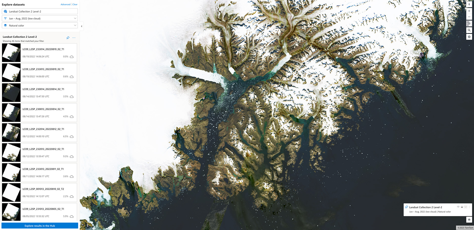
The stactools Raster Footprint Utility
In this post we provide the context necessary for readers to create accurate raster footprints for use in their STAC metadata.
-
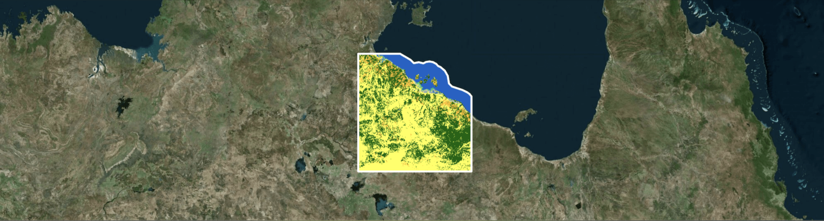
How Microsoft’s Planetary Computer Uses STAC
We show how components of the Planetary Computer are based on both cloud-optimized formats & the STAC spec, and how this work benefits the larger community.
-
STAC: A Retrospective, Part 1
In the first installment of this two-part retrospective, we dive into the history of STAC (SpatioTemporal Asset Catalog) and outline its history.