Open Source
<- Return to all blogs
-
AI Coding and the Future of Open-Source Geospatial Software
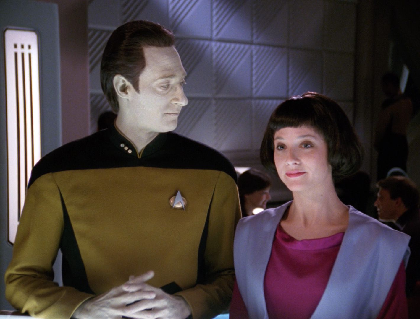
In an episode of Star Trek: The Next Generation, Commander Data (an android), creates a new android, Lal. His creation, paralleling the new generation of AI-assisted tools, extends her creator’s capabilities but also begins to operate autonomously. Lal begins to learn, evolve, and act independently, faster than Data can fully guide her. Eventually, she is…
-
AI Coding and the Future of Open-Source Geospatial Software
In an episode of Star Trek: The Next Generation, Commander Data (an android), creates a new android, Lal. His creation, paralleling the new generation of AI-assisted tools, extends her creator’s capabilities but also begins to operate autonomously. Lal begins to learn, evolve, and act independently, faster than Data can fully guide her. Eventually, she is…
-
STAC: A Retrospective, Part 2 (Why STAC was Successful)
In Part 1 of this series we covered the origin story of STAC, exploring the history and the initial sprints that created the spec. Now, it’s time to cover the how and the why of its success.
-
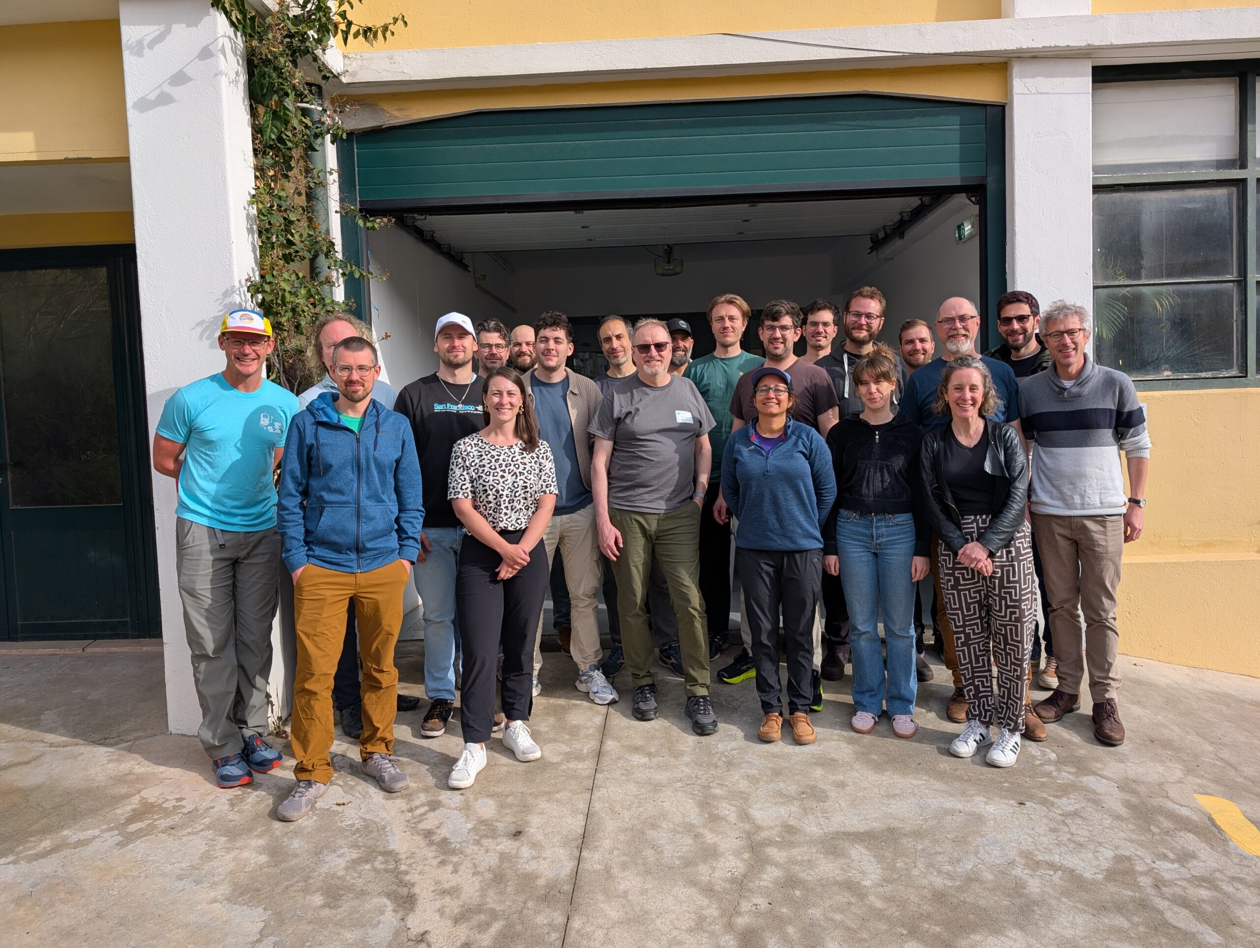
STAPI Sprint #5: 0.1 Release
We recap our most recent STAPI Sprint in Lisbon. We worked toward evolving the satellite data ordering process, and released version 0.1.
-
STAPI Sprint #4: Interoperability for Satellite Data Ordering
During our most recent STAPI sprint we brought together attendees from across the geospatial industry to discuss interoperability for satellite data ordering.

-
Updating our Geospatial Technology Radar for 2024
We introduce the second iteration of our geospatial technology radar, which is designed as a resource for the community to outline impactful technologies in the space.

-
Announcing our 2023 Geospatial Tech Radar
Ahead of this year’s FOSS4G North America gathering, we’re rolling out a 2023 edition of our Geospatial Tech Radar idea, which we plan to update annually to track what’s up-and-coming in geospatial techniques, standards, data, and tools/platforms.В

-
Introducing Earth Search Console: An AWS Open Data Exploration UI
In this blog, we’ll detail how Earth Search Console leverages FilmDrop, and what Console components we are most excited about.

-
STAC: A Retrospective, Part 1
In the first installment of this two-part retrospective, we dive into the history of STAC (SpatioTemporal Asset Catalog) and outline its history.
-
Selecting a Geospatial Mastodon Server for Individuals and Businesses
At Azavea, interacting with and contributing to the geospatial community is a perpetual highlight of our work. For many years, Twitter has represented a hub of activity within the professional geospatial sphere, and we’ve enjoyed interacting with community members and sharing our work through the platform. In light of the uncertain future of Twitter, both…

-
Our 10% Time Program: How We Encourage Innovation Internally
We outline our 10% time program in detail, highlight some notable examples and themes, and describe the impact of the program.