We develop reliable software solutions and large-scale, production-ready distributed systems for clients who want to better our world.

Our Projects
Our Tooling
Our Clients

->
Cloud-native geospatial processing suite.
FilmDrop is a suite of open source tools for ingesting, archiving, processing, analyzing and distributing geospatial data in the cloud.


GroundWork ->
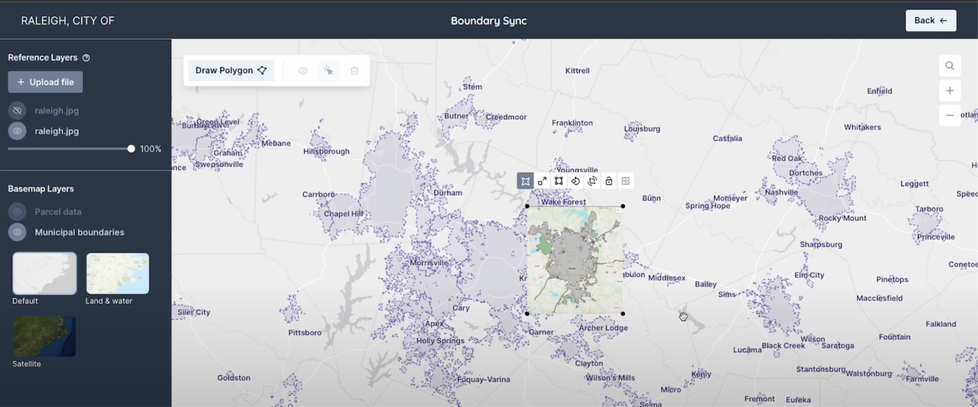
An annotation tool designed for geospatial data, including satellite, aerial, and drone imagery. GroundWork supports object detection, chip classification and semantic segmentation projects, ideal for creating training datasets for machine learning projects.

Raster Vision is an open source library and framework that bridges the divide between the world of GIS and deep learning-based computer vision for satellite and aerial imagery.

Earth Search ->
Earth Search offers a public search and discovery API for Earth on AWS, Amazon‘s registry of open geospatial datasets. Initial datasets include the entire USGS Landsat Collection 2 and ESA Sentinel-2 catalogs, Sentinel-1, Copernicus DEM, and NAIP with more datasets being added regularly.
Powered by FilmDrop
See more of our tooling->
Trusted by our
Customers & Partners
Data & Analytics Providers
We develop affordable, custom infrastructure and provide a full team to implement it that understands and optimizes your tasking, data management, and processing needs.

Civil Agencies, Federal & Local
We build large-scale software solutions for civil government organizations ranging from local water departments to federal agencies including NASA and NOAA.

Federal Agencies, Defense & Intelligence
Our team supports the Defense & Intelligence Community through comprehensive geospatial software engineering.

Non-Profits & Research Institutions
We transform your data into a usable product for your end users. We build user-centric custom applications and dashboards that ingest, archive, and process data.
Insurance & Financial Firms
With a deep understanding of highly regulated industries, we approach your organization’s challenges with intention and innovation.
See more of our work->
Build technology that matters
We’re hiring the best people in cloud-native geospatial and Earth Observation software engineering, machine learning, project management, data analysis, and UX design who are keen on making a difference.
See career opportunities->


You have a vision for a
better planet
We have the people who will breathe life into your ideas.
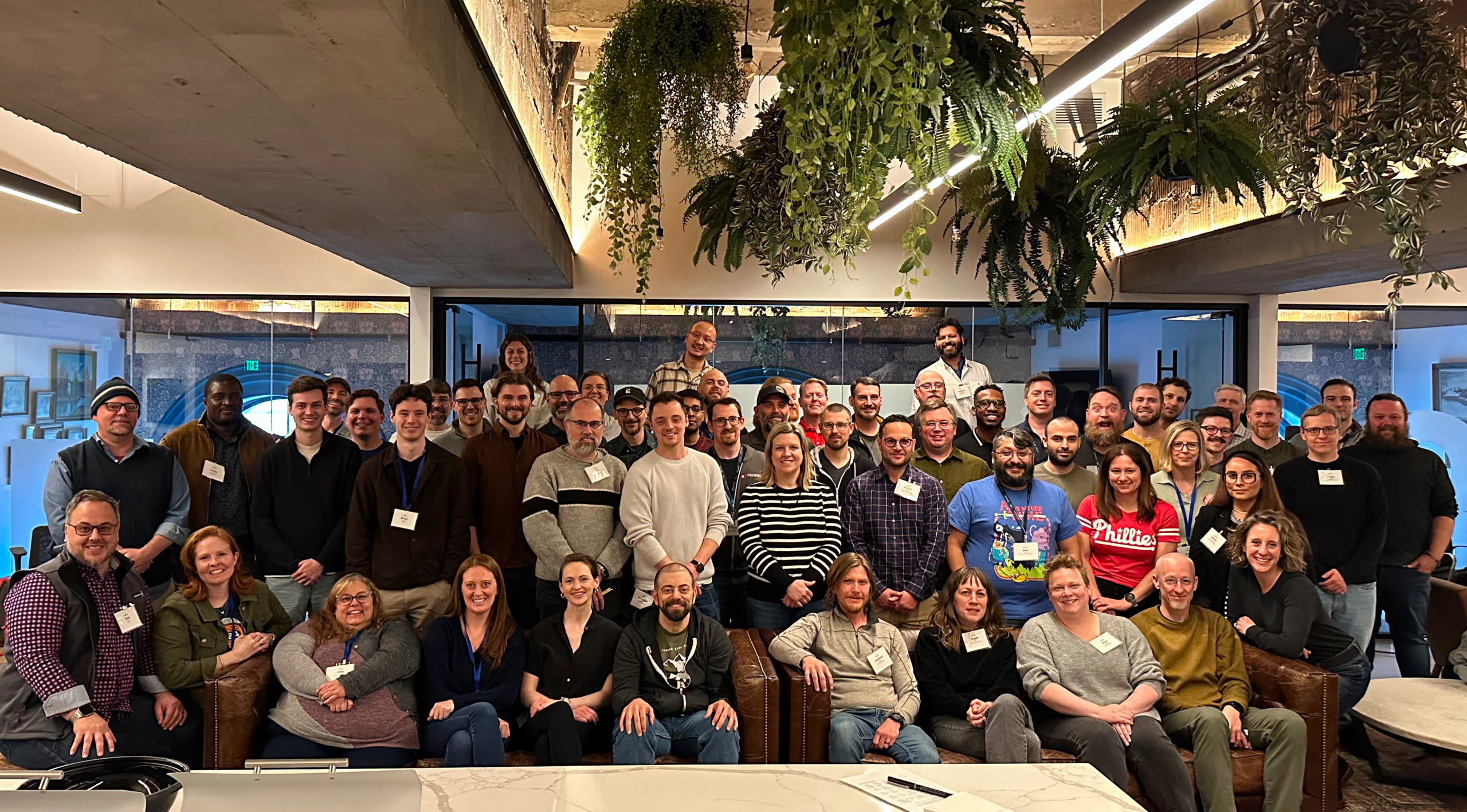
Element 84 is a woman-owned small business that works with public, private, and non-profit sector clients to develop geospatial data processing pipelines and build software.
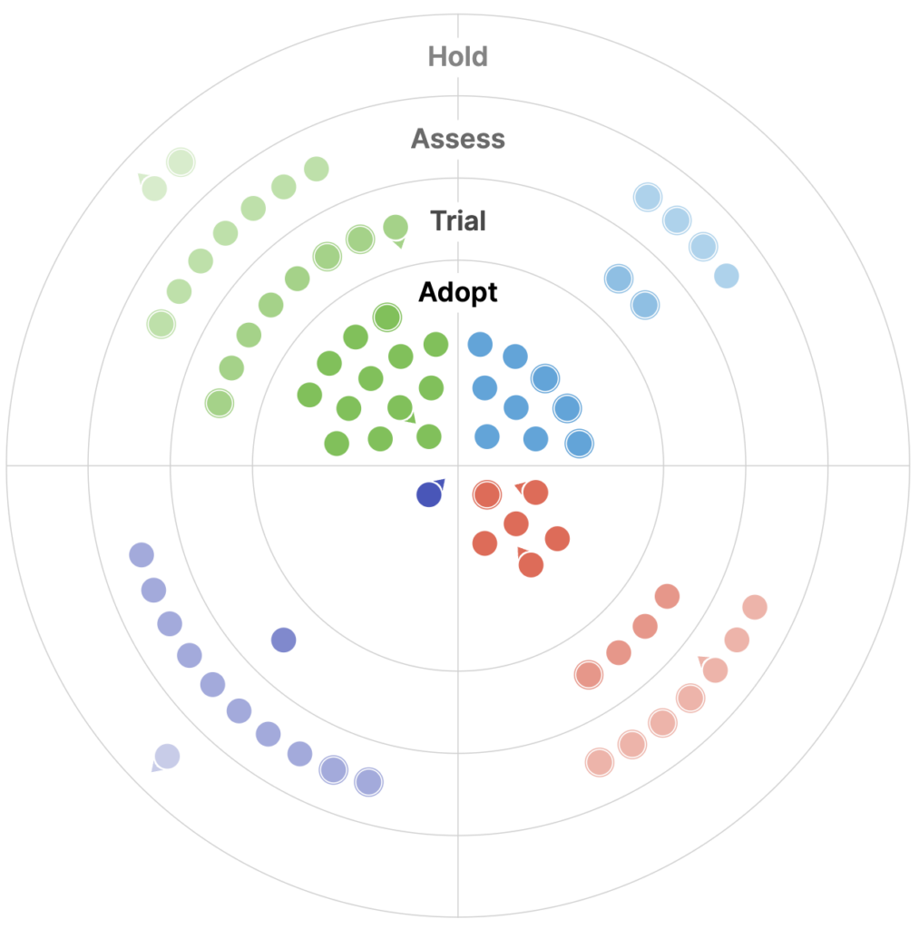
Our 2025 Geospatial Technology Radar is
LIVE NOW
-

Natural Language Geocoding
We discuss how natural language geocoding is changing the landscape of data analysis, making it more accessible and efficient.