User Experience & Design
<- Return to all blogs
-
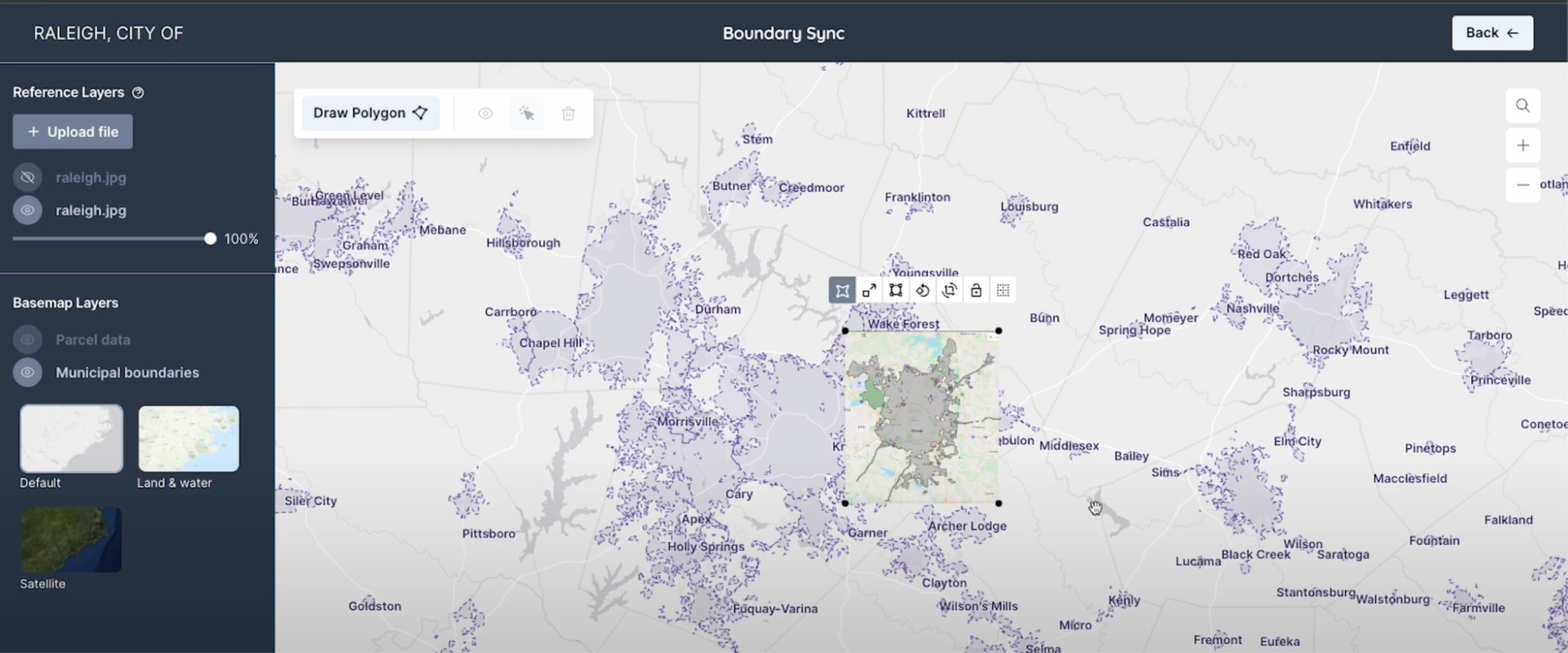
BoundarySync: Streamlining Water Utility Boundary Management Through an Intuitive, Free, and Open Source Web App
In small, rural or underfunded communities, water utilities often don’t have the tooling they need to capture their water boundaries digitally. This makes it harder for them and other stakeholders to coordinate water services, plan for improvements, apply for grants, comply with regulations, and understand the populations being served. To solve for this issue we…
-
BoundarySync: Streamlining Water Utility Boundary Management Through an Intuitive, Free, and Open Source Web App
In small, rural or underfunded communities, water utilities often don’t have the tooling they need to capture their water boundaries digitally. This makes it harder for them and other stakeholders to coordinate water services, plan for improvements, apply for grants, comply with regulations, and understand the populations being served. To solve for this issue we…
-
Refining the Wildfire Risk to Communities Application through Improved Design and Functionality
We describe our work on wildfirerisk.org to make wildfire risk data available for free in an easy-to-access format.

-
Streamlining supply chain risk calculation through The Sustainability Consortium’s free commodity mapping web tool
Element 84 employed user interviews, stakeholder workshops, and iterative dashboard design to improve The Sustainability Consortium’s Trade Model and Risk Calculator, now known as CommodityMap, with recommended actions for users and an improved interface. This tool was launched in May, 2024 and is free and easy to use – aiming to make sustainable supply chain…

-
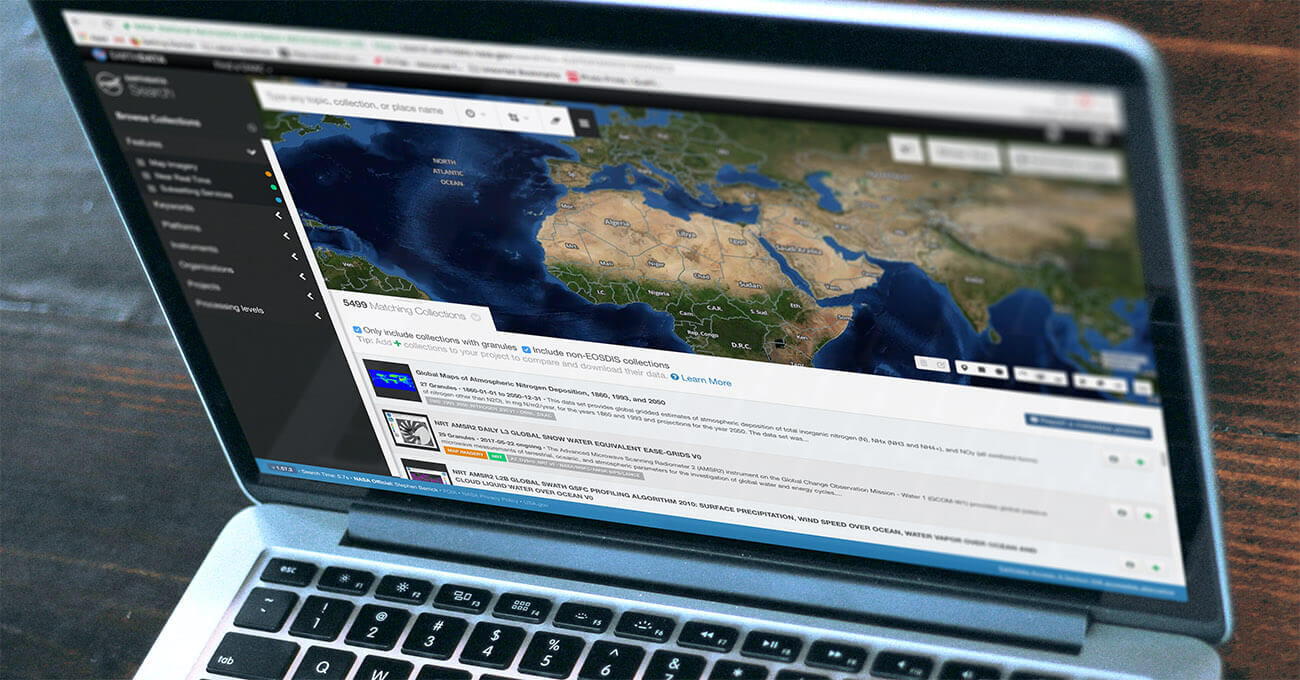
Making Earth Science Easier with Earthdata Search
Earthdata Search is an open source tool to helps field scientists, researchers, engineers, and curious citizens discover, search and access over 400 million records of remote sensing data.
-
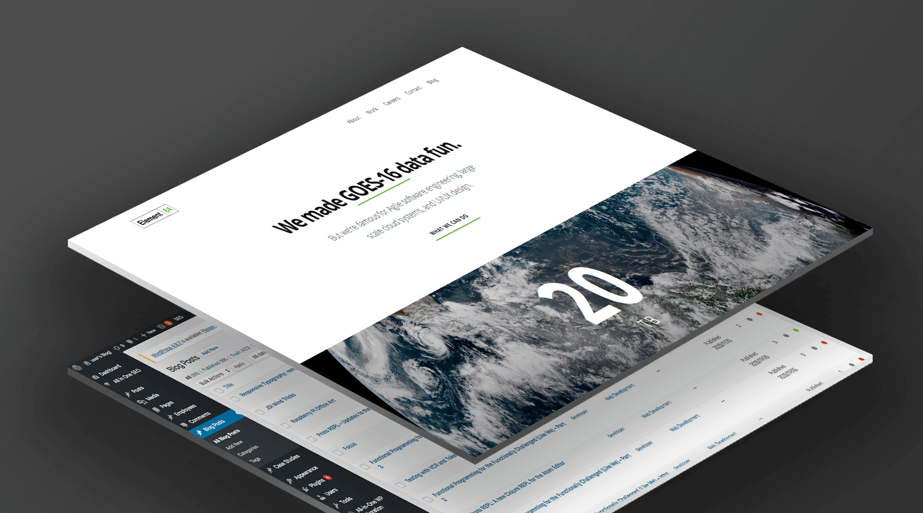
Building Scalable, Low-Maintenance Websites Using AWS
Most content management systems rely on a database to store content and changes to content. When a visitor loads a page, code fetches the content from the database and displays it to the user. These systems can be prone to malicious attacks via SQL injection and other techniques that target database-backed sites. They can also…
-
Streaming GOES-16 Data With AWS Managed Services
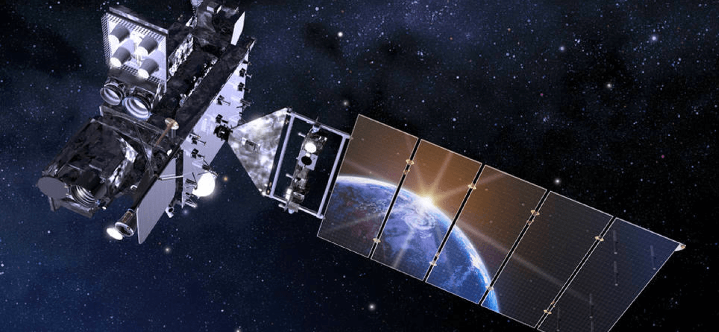
GOES-16 (formerly known as GOES-R) is a joint NASA-NOAA geostationary satellite used for for monitoring smoke, flooding impacts, burn scars, volcanic ash, and weather over the Americas. As important as this data is, finding and using it effectively can be difficult and often requires significant investment on the part of the end user. With experience…
-
Informing the Public about Landslide Risk in Sitka, Alaska
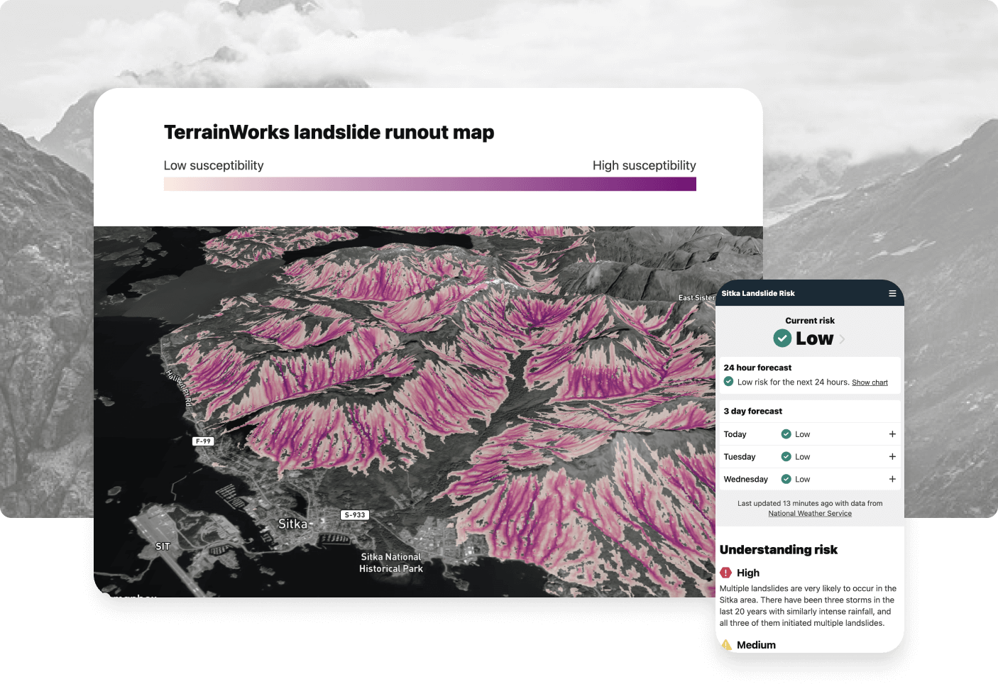
Element 84 used real-time data to convey landslide risk level and prevent future fatalities in Sitka, Alaska for the Sitka Sound Science Center.
-
A Platform to Support Citizen Science in Environmental Monitoring Projects
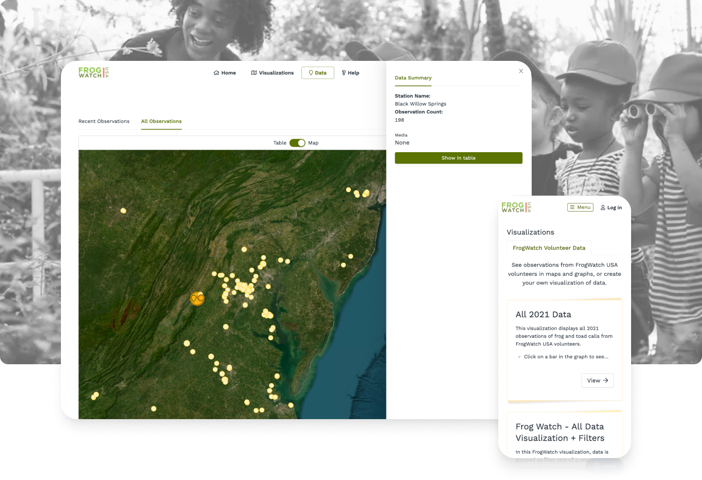
Modernizing FieldScope: A platform to allow participants of all ages to collect, visualize, and share data
-
Creating an Application to Visualize Stormwater Risk for Vulnerable Communities
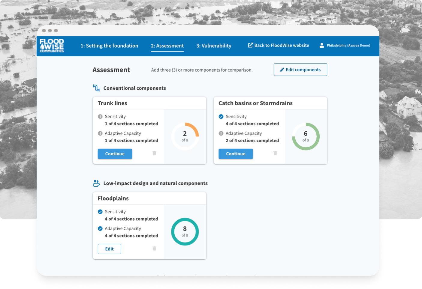
Translating complex data from Excel to a user-friendly web-based application to visualize stormwater risk for vulnerable communities
-
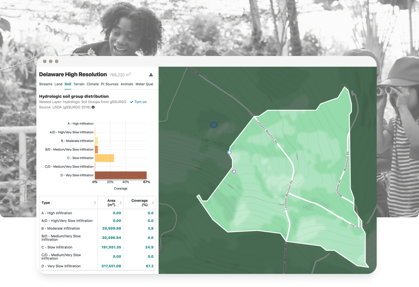
Watershed Modeling Tools Inform Science Education and Local Decision-Making
This dual-purpose app allows students to use game-like tools and scientists to use advanced hydrologic models to discover how changes in the environment affect watersheds.