
GroundWork is designed for annotating and labeling geospatial data like satellite imagery
Groundwork converts .tif files that you upload into Cloud-Optimized GeoTiffs (COGs) and stores vector annotations as GeoJSON. You can export your annotated training dataset as a SpatioTemporal Asset Catalog (STAC) at any time, making it compatible with a growing ecosystem of Python libraries, like PySTAC and Franklin.
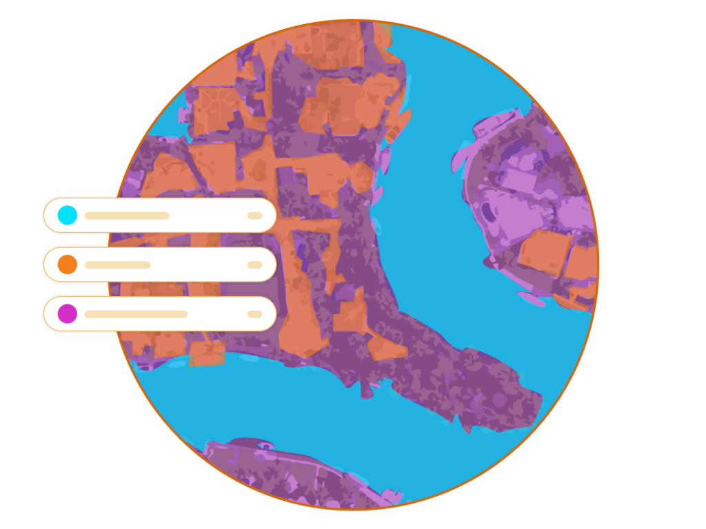
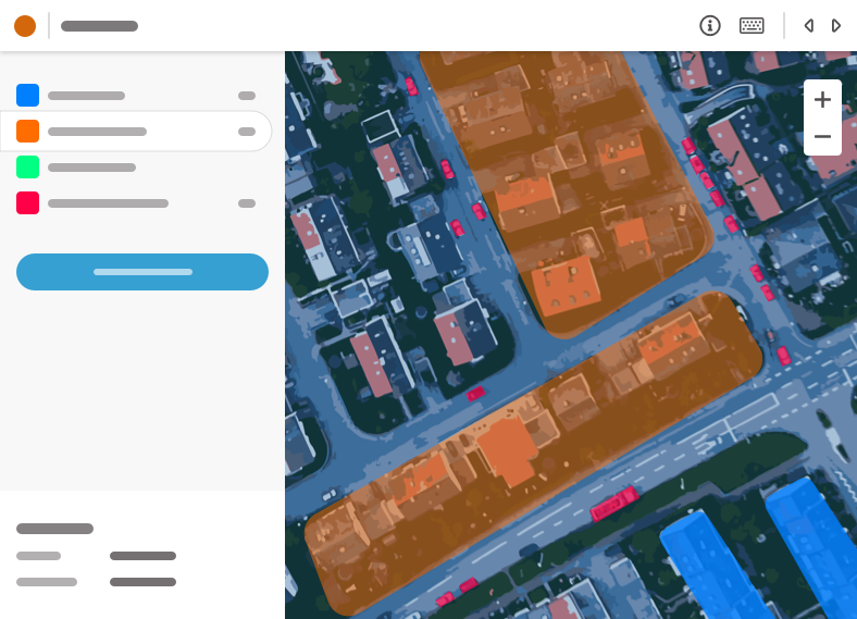
Semantic segmentation labeling
Groundwork supports satellite and aerial feature extraction for deep learning. Annotate imagery using our easy freehand lasso and polygon labeling tools.
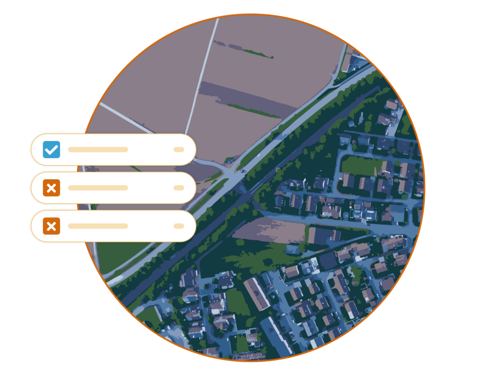
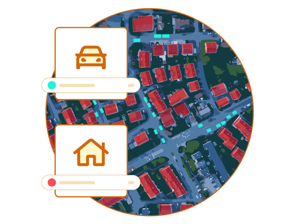
Image classification
Groundwork breaks large geospatial imagery into smaller pieces, to make creating remote sense training data from satellite and other aerial imagery easy.
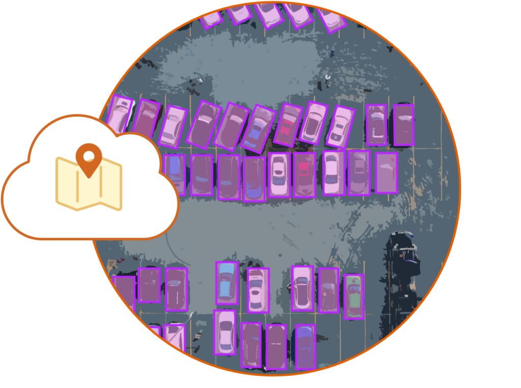
Object detection in aerial imagery
Object detection in aerial imagery presents unique challenges around resolution, orientation, and noise. Groundwork supports freehand contours and bounding for labeling complex training data.
Cloud-native architecture
All imagery is stored as cloud optimized GeoTiffs and labels are stored as GeoJSON. Exported data is represented as a SpatioTemporal Asset Catalog.

We offer managed annotation services for satellite, drone, and other aerial imagery. Our R&D team can also work with you to train custom computer vision models that meet your needs.