Summer of Maps
<- Return to all blogs
-
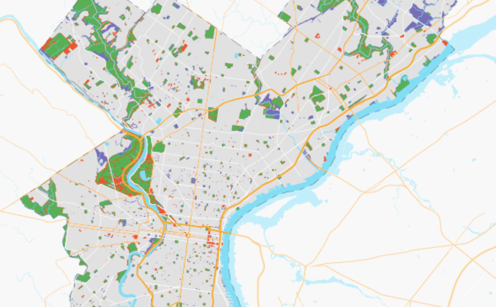
How Can OpenStreetMap be Used to Track UN Sustainable Development Goals?
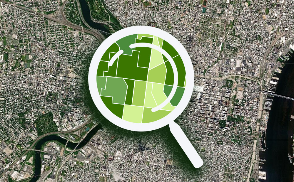
We learned that OpenStreetMap is a great source of data for tracking SDG indicator 11.7.1. OSM provides data on public open or green spaces in cities that is similar in quality to more “official” sources like municipal Open Data portals, and collecting the data from OSM requires relatively little effort.
-
How Can OpenStreetMap be Used to Track UN Sustainable Development Goals?
We learned that OpenStreetMap is a great source of data for tracking SDG indicator 11.7.1. OSM provides data on public open or green spaces in cities that is similar in quality to more “official” sources like municipal Open Data portals, and collecting the data from OSM requires relatively little effort.
-
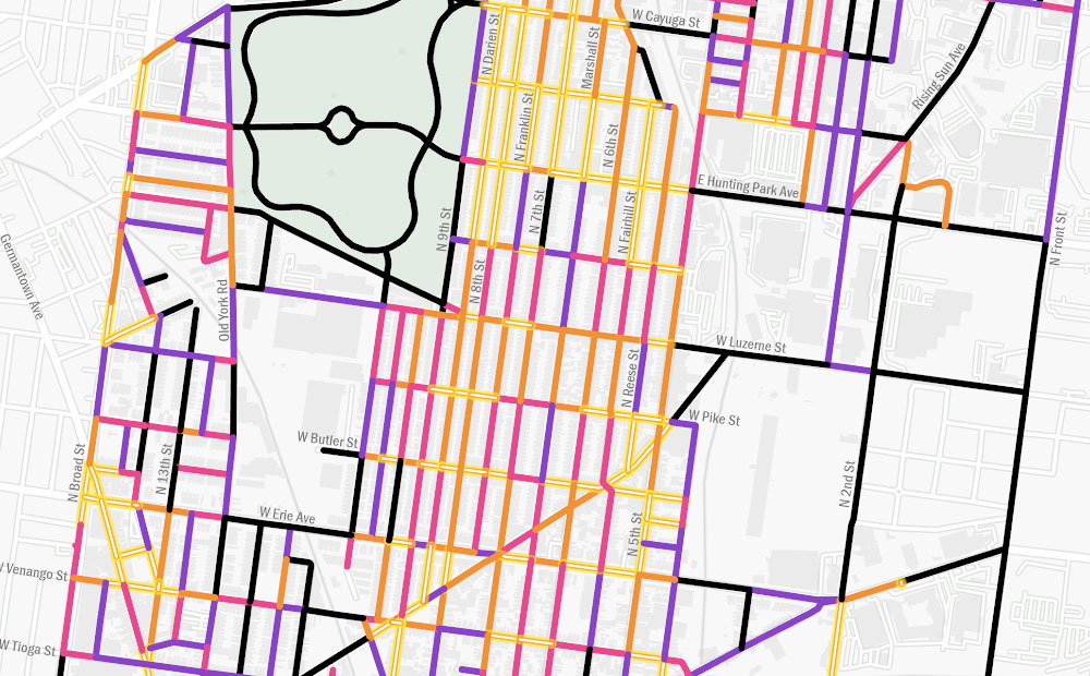
Using GIS to Guide Philadelphia’s First Neighborhood-Level Forestry Plan
The adoption of Philadelphia’s Urban Forest Strategic Plan and Hunting Park’s Forestry Plan presents a unique opportunity to address the need for equitable tree planting and the reduction of heat vulnerability, as these two plans are the city’s first cohesive attempts to prioritize and manage its urban forest.
-
How Evictions Correspond to Past Divestment in New Orleans
We worked with Jane Place Neighborhood Sustainability Initiative as part of the 2018 Summer of Maps program to analyze evictions data in New Orleans.
-
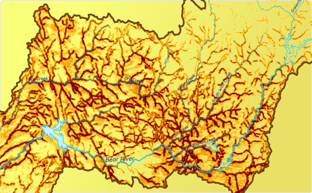
Digitizing Maps Using Remote Sensing Techniques in ArcMap and R
Learn how to use image processing and remote sensing techniques in R and ArcGIS to digitize spatial data from image or PDF files.
-
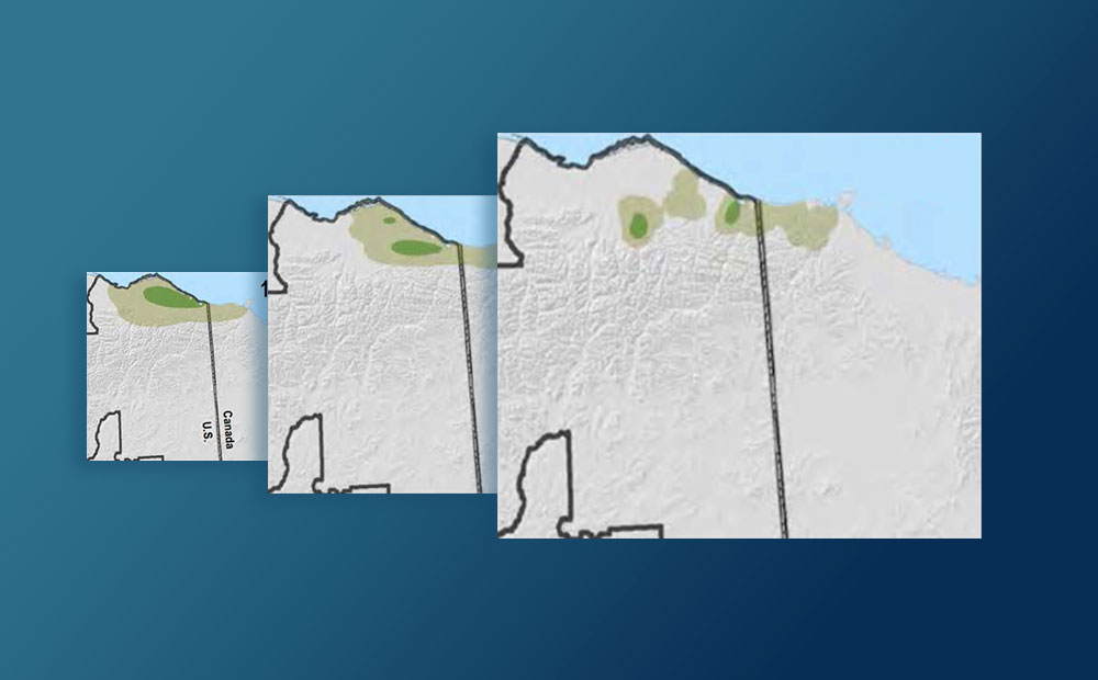
Preparing Data for MaxEnt Species Distribution Modeling Using R
How to use R to turn disparate environmental data into clean, usable raster data that can be fed into a MaxEnt species distribution model.
-
Evaluating Machine Learning Models in R: Predicting Marine Debris
Evaluating machine learning models in R with a focus on how to handle biased and imperfect data, specifically volunteer collected marine debris data.
-
Cleaning Philadelphia Campaign Finance Data with R
How to categorize, clean, filter, and prepare Philadelphia’s campaign finance data for analysis, mapping, and visualization.
-
Geospatial Analysis of Utility Insecurity in Philadelphia
An analysis of areas vulnerable to utility insecurity completed for the Legal Clinic for the Disabled as part of the Azavea Summer of Maps program.
-
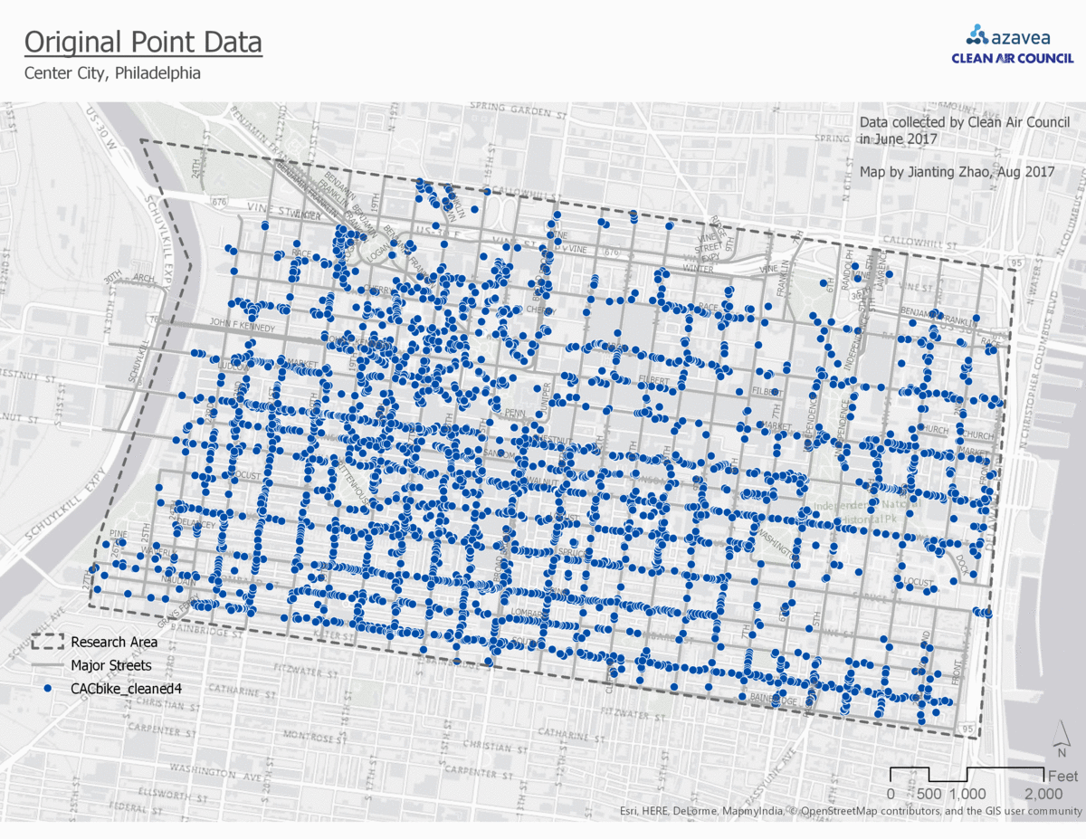
Comparison of 4 Point Data Aggregation Methods for Geospatial Analysis
This post is part of a series of articles written by 2017 Summer of Maps Fellows. Azavea’s Summer of Maps Fellowship Program is run by the Data Analytics team and provides impactful Data Analysis Services Grants for nonprofits and mentoring expertise to fellows. To see more blog posts about Summer of Maps, click here … One…
-
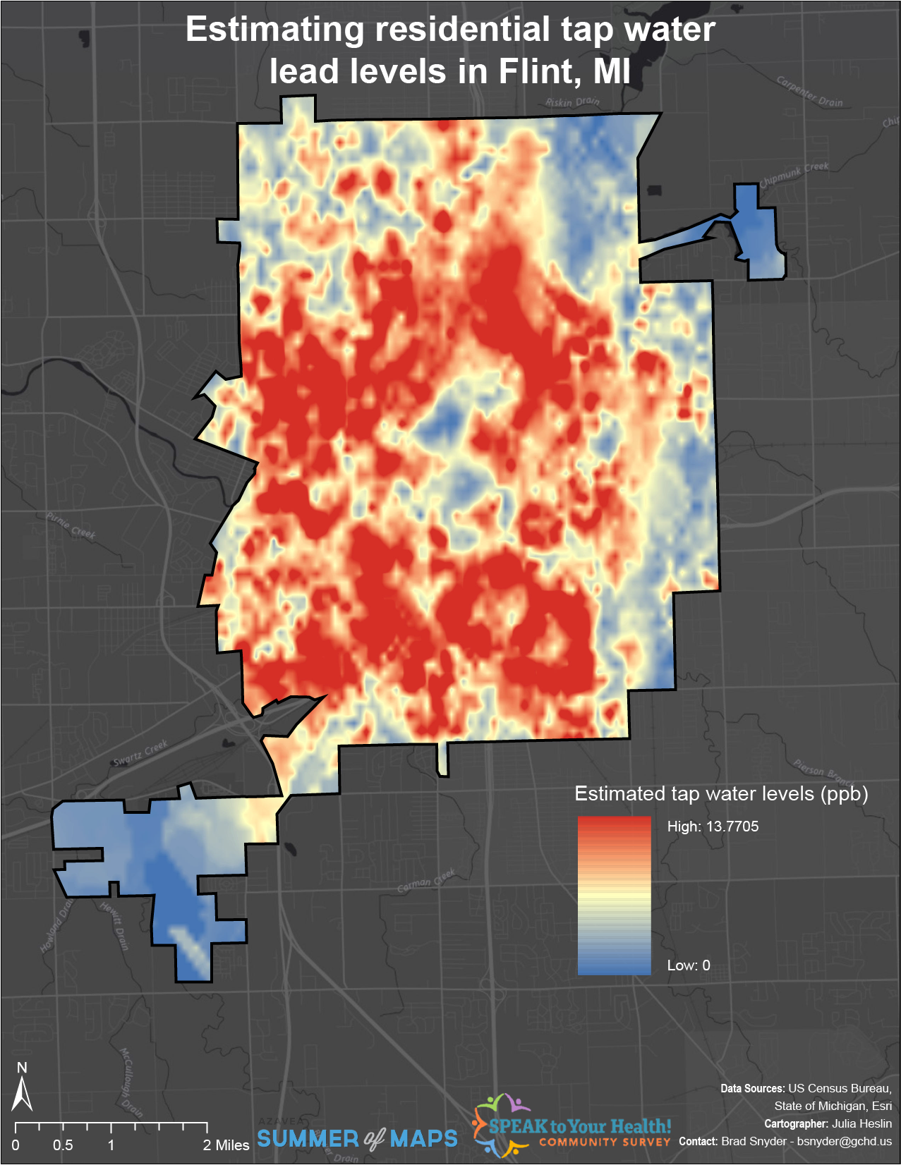
Interpolating Lead Levels from Tap Water Samples Following the Flint Water Crisis
This post is part of a series of articles written by 2017 Summer of Maps Fellows. Azavea’s Summer of Maps Fellowship Program is run by the Data Analytics team and provides impactful Data Analysis Services Grants for nonprofits and mentoring expertise to fellows. To see more blog posts about Summer of Maps, click here … The…