Civic Apps
<- Return to all blogs
-
How to code-split GeoJSON layers for your MapBoxGL.js React apps
A recent project required us to implement an interactive map of the United States with a custom counties layer. This is what we learned.
-
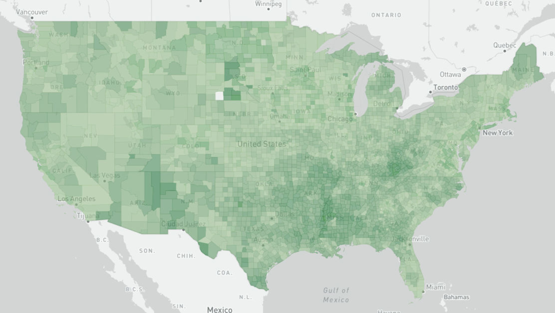
How to code-split GeoJSON layers for your MapBoxGL.js React apps
A recent project required us to implement an interactive map of the United States with a custom counties layer. This is what we learned.
-
A Day in the Work-Life in 2020
2020 was awful. Who was accessible changed radically. We, and the people around us, by necessity took on different roles. Including at work.

-
Bringing Open Data to the Apparel Industry
We chatted with the Open Apparel Registry team about how open data and open source are becoming a larger part of the apparel industry.
-
Using the Dedupe Machine Learning Library for Cleaning and Matching Data
To deal with issues of apparel facility list data quality and scale quickly and efficiently we need a machine learning tool that can capture the knowledge of domain experts, find commonalities in jumbled text, and confidently compare large lists without the need to compare each individual entry.
-
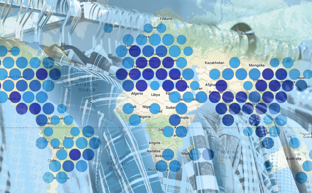
Connecting Data and People with the Open Apparel Registry
Since its launch on March 28, the Open Apparel Registry (OAR) has grown to include over 18,300 facilities in 92 countries. We’ve already heard of a few fascinating use cases where data from the OAR contributed to decision making by brands and facilities.

-
Using Cloud-Optimized GeoTIFFs (COGs) for More Efficient Web App Architecture
Cloud-Optimized GeoTIFFs (COGs) are geoTIFFs hosted on a cloud or file server, and are optimized for remote reads. They proved useful in a recent project.
-
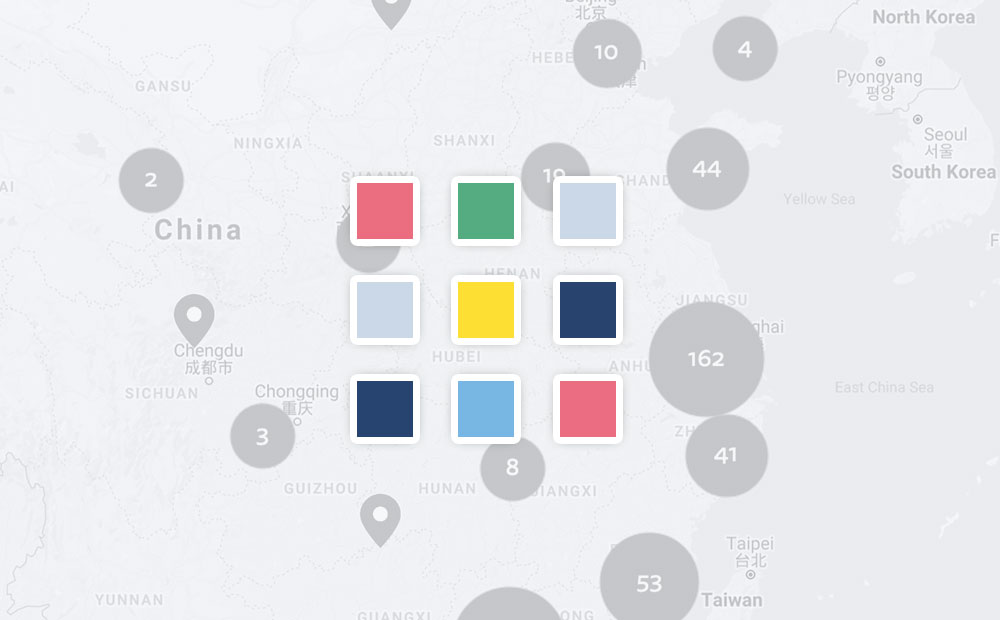
Introducing the Open Apparel Registry
We are excited to announce the launch of the Open Apparel Registry, an open source global map of garment producing facilities.

-
Lessons on tree-shaking Lodash with Webpack and Babel
Tree-shaking lodash can reduce the size of your JavaScript bundle, but it requires that a few conditions are met along the way to implementing it.

-
Introducing TileJSON.io, A Fast and Easy Way to View and Share Raster Tiles
TileJSON.io is an open source project by Azavea. It is an easy way to view and share raster tile sets using slippy map endpoints.
-
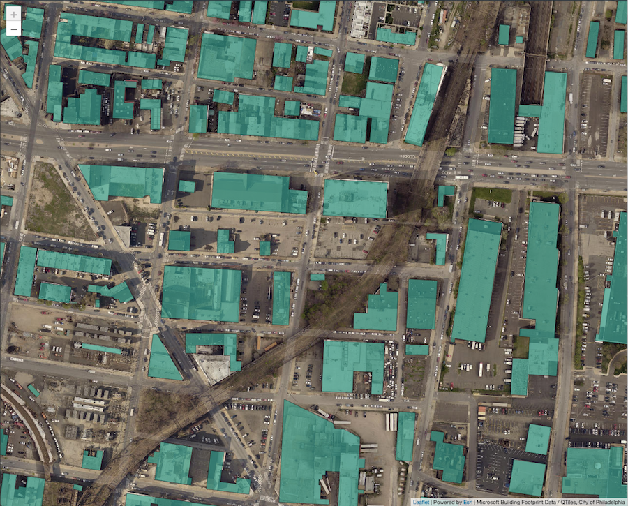
Creating Leaflet Tiles from Open Data using PostGIS and QGIS
A guide to transforming open geospatial data into slippy map tiles to display in Leaflet or OpenLayers using PostGIS, QGIS, and QTiles.