Geospatial
<- Return to all blogs
-
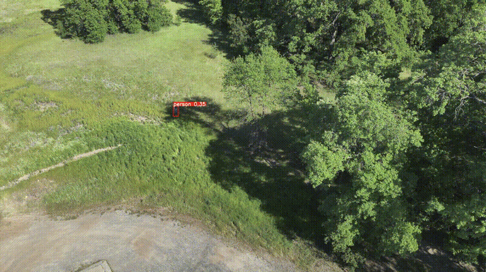
Edge Processing of Drone Data for Search and Rescue using Open Source Tooling on an AWS Snowcone
Element 84 has developed near real-time edge processing of drone and aerial imagery for human identification that leverages machine learning and AWS Snowcone edge capabilities during austere operations for search and rescue applications.
-
The stactools Raster Footprint Utility
In this post we provide the context necessary for readers to create accurate raster footprints for use in their STAC metadata.
-
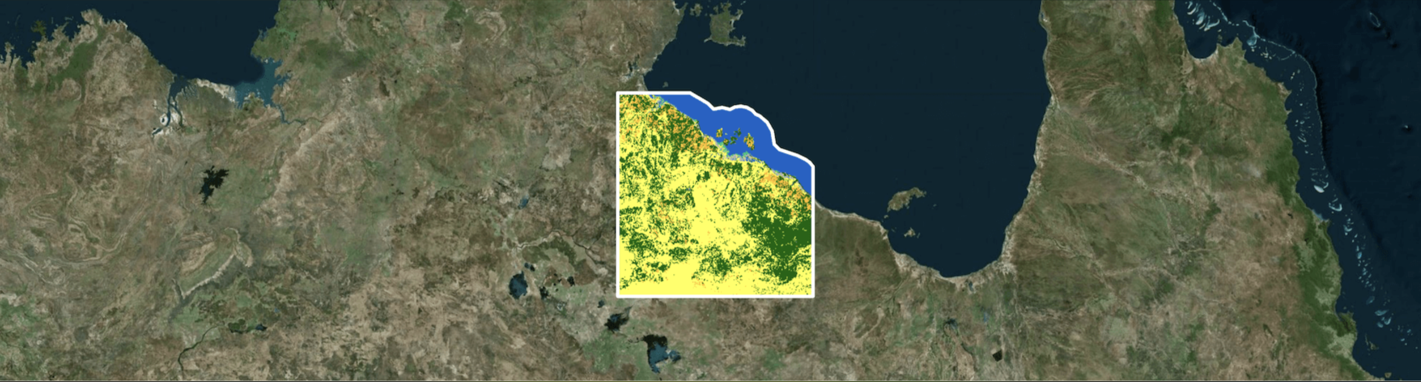
Introducing Earth Search v1: New datasets now available
We outline the latest from Earth Search: an endpoint that hosts a catalog of Sentinel-2 and Landsat data to improve data accessibility.

-
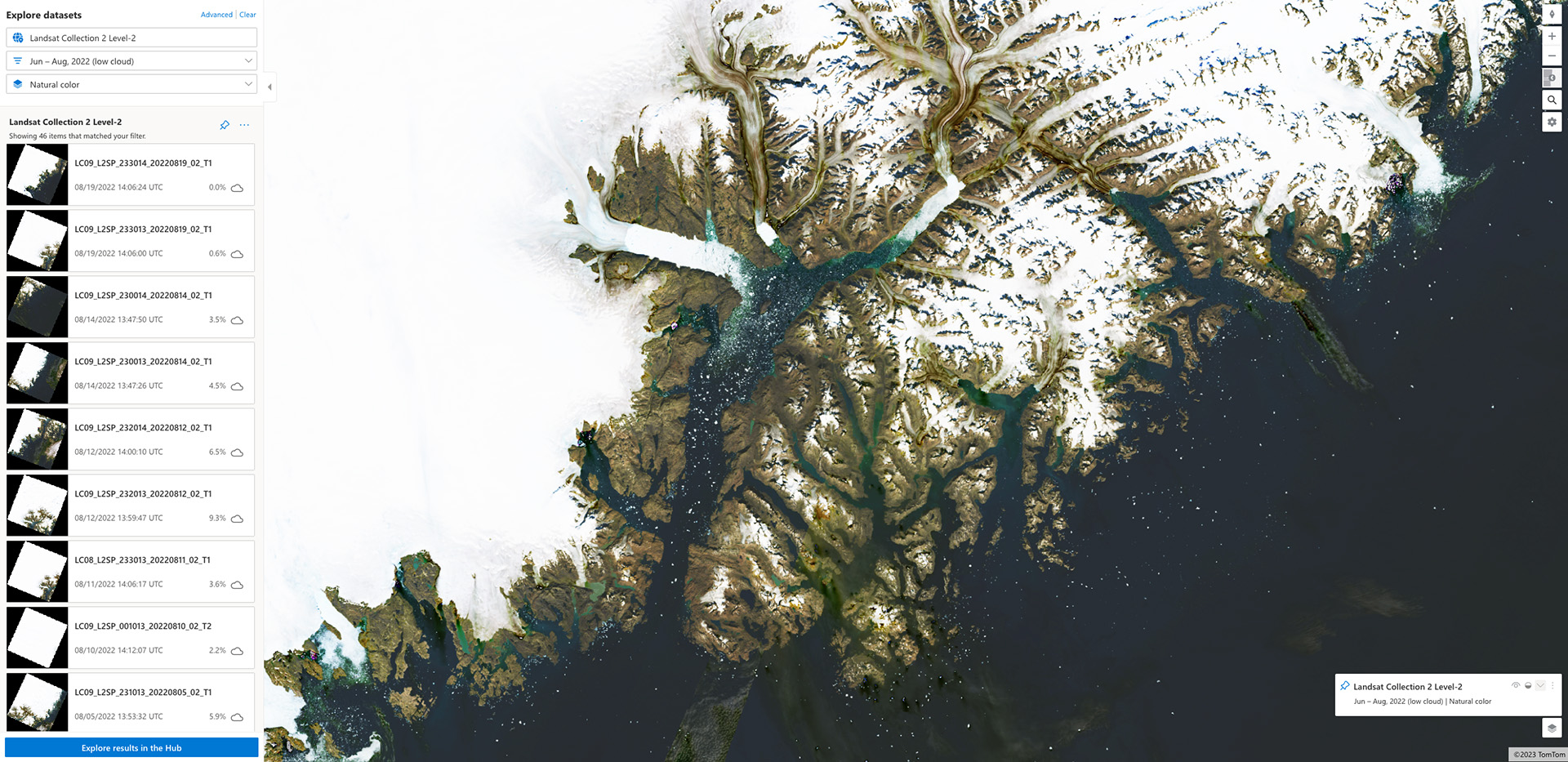
How Microsoft’s Planetary Computer Uses STAC
We show how components of the Planetary Computer are based on both cloud-optimized formats & the STAC spec, and how this work benefits the larger community.
-
Unleashing the Power of Geospatial AI: Elevating our Machine Learning Offerings
We outline recent projects tackling complex challenges through the lens of Machine Learning and discuss how our past experience will shape future work.

-
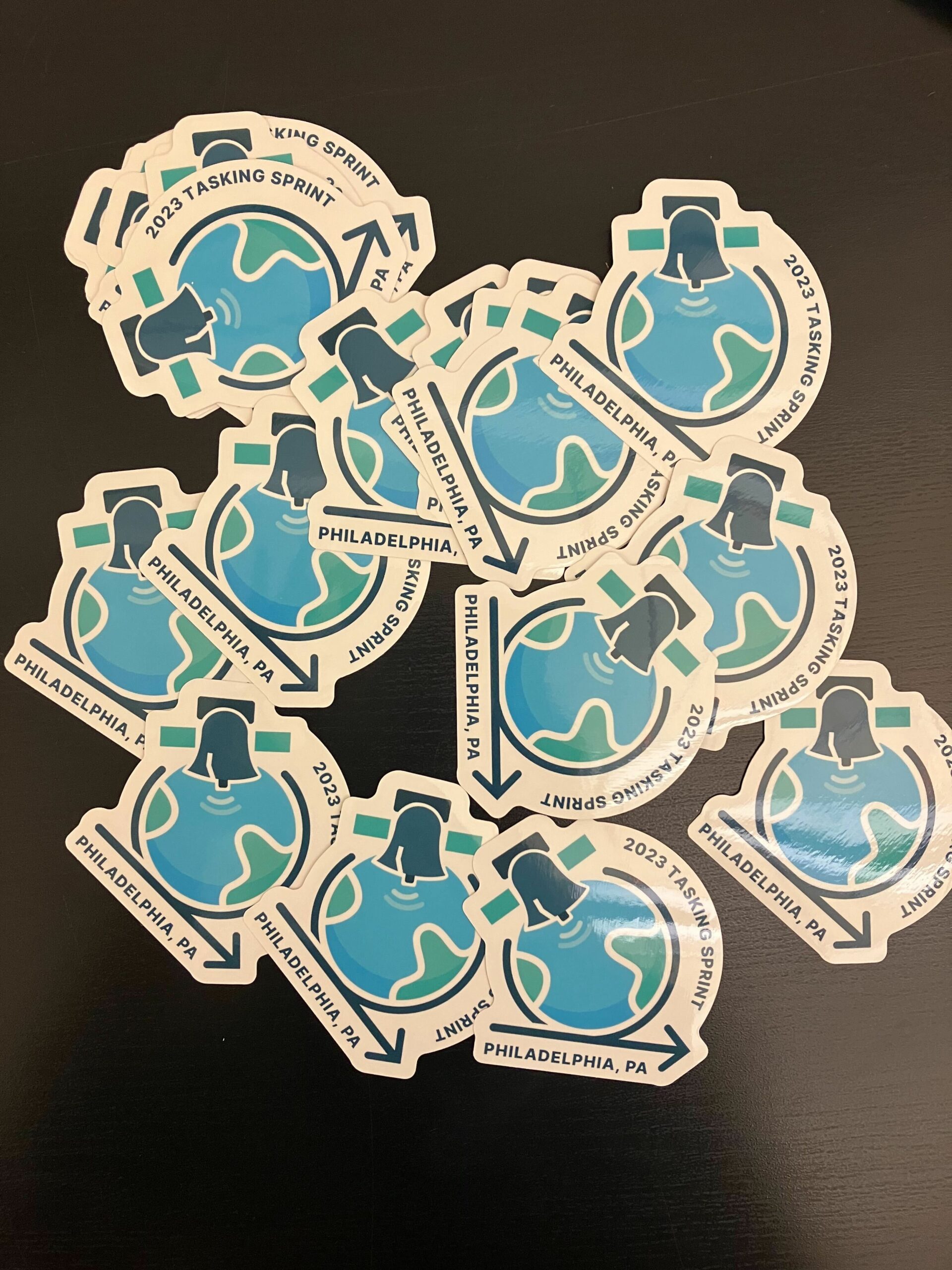
SpatioTemporal Asset Tasking Sprint #2 Recap
In this blog we recap the latest SpatioTemporal Asset tasking sprint that we hosted with industry leaders to generate new community standards.
-
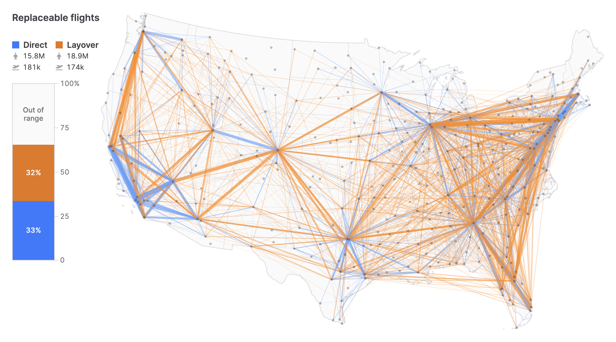
What electric plane range is needed to electrify US domestic air travel?
To explore the potential for future electric air travel, we consider the potential electric plane ranges needed to accommodate US domestic air travel.
-
STAC: A Retrospective, Part 1
In the first installment of this two-part retrospective, we dive into the history of STAC (SpatioTemporal Asset Catalog) and outline its history.
-
FOSS4G Nashville 2022
I attended and gave a talk at FOSS4G Nashville 2022. This was a short, 1.5 day hybrid conference with about 30 in-person attendees and an unknown number of folks watching and giving presentations online. Howard Butler gave a keynote talk entitled “Serve data, not services,” and my talk was titled “STAC software, now and looking…

-
AWS re:Invent 2022 Mega Recap
This month our geospatial team traveled to Las Vegas to attend AWS re:Invent and talk about FilmDrop—our cloud-native, geospatial processing suite. Over the course of the week, we had a chance to meet tons of great people and spend time in talks and labs learning as much as we could. We’ve put together a mega…