Company
<- Return to all blogs
-
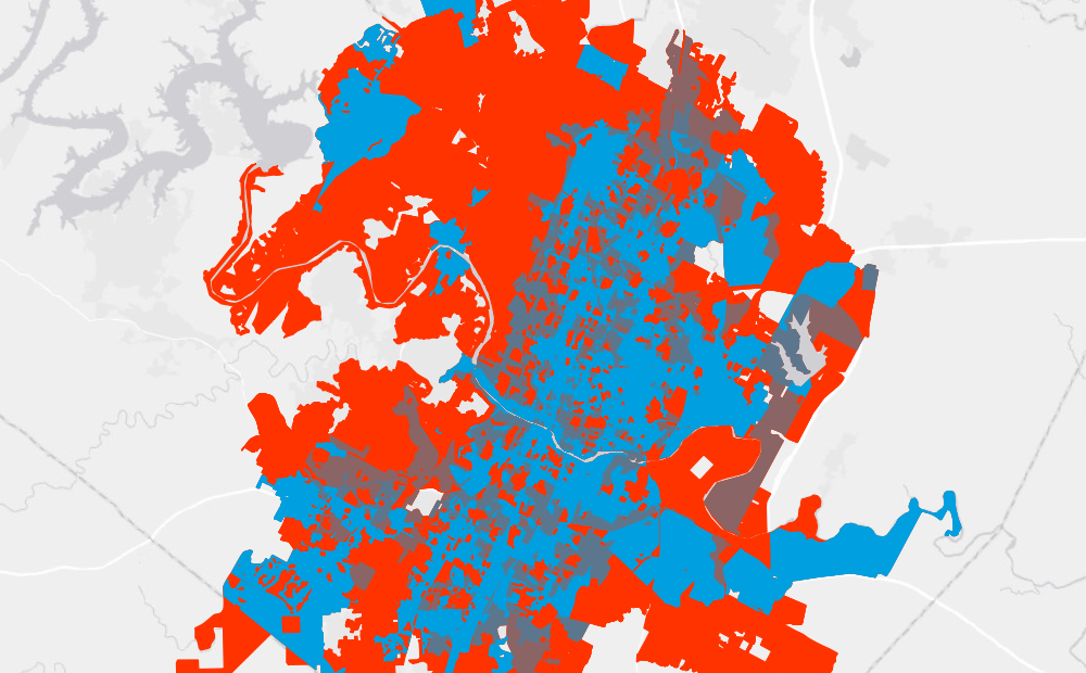
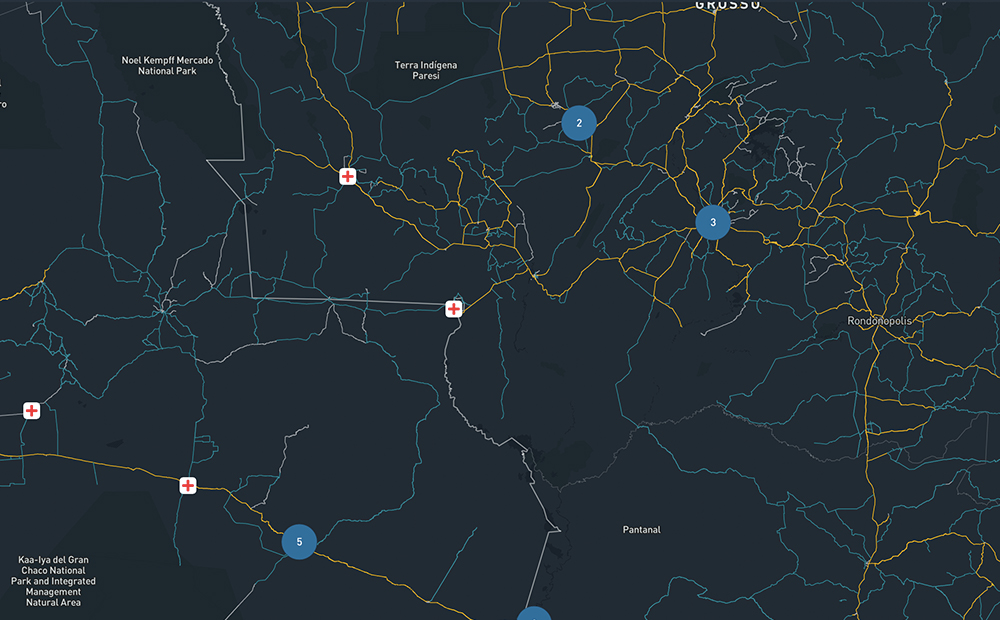
Improving City Transit Networks through Data and Public Policy
Using open source data and easily customizable software, Azavea worked with PeopleForBikes to improve city transit networks.
-
Improving City Transit Networks through Data and Public Policy
Using open source data and easily customizable software, Azavea worked with PeopleForBikes to improve city transit networks.
-
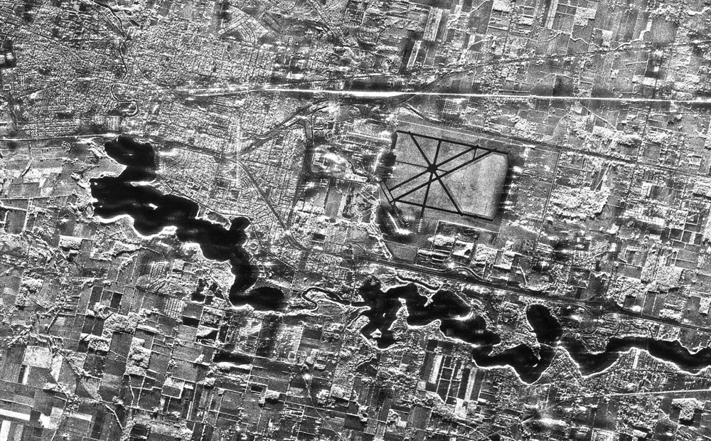
Labeling SAR Imagery for Machine Learning: A Beginners Guide
SAR imagery is having a moment. In this blog we explore what exactly it is, why it is so special, and tips for labeling it.
-
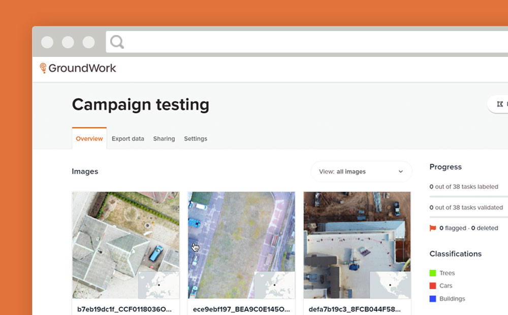
GroundWork Launches Campaigns
Need to create a training dataset that contains multiple images? GroundWork launches “Campaigns” to help you handle large datasets for machine learning.
-
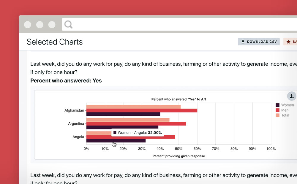
Making Gender Data Actionable
Azavea partnered with Facebook and Ladysmith to make an engaging platform that makes data from a massive gender survey actionable.
-
A Day in the Work-Life in 2020
2020 was awful. Who was accessible changed radically. We, and the people around us, by necessity took on different roles. Including at work.

-
A Guide for Grantmakers: How to Evaluate Software Development Proposals
Grantmaking organizations are often asked to fund software development, but are unsure of how to evaluate the scope, budget, or potential impact of these types of projects. We created this list of the key questions to ask when evaluating a software development proposal.

-
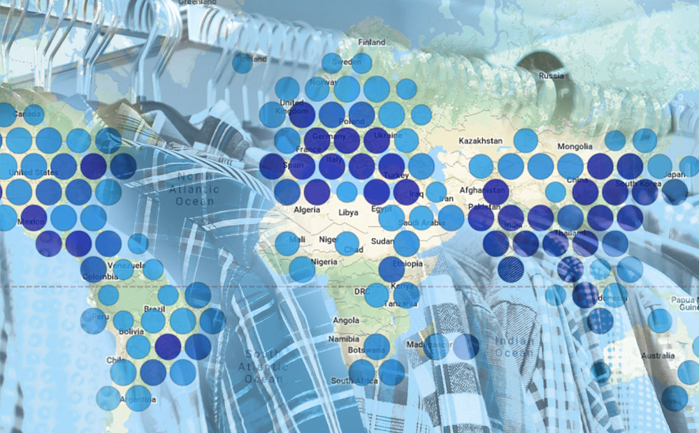
Bringing Open Data to the Apparel Industry
We chatted with the Open Apparel Registry team about how open data and open source are becoming a larger part of the apparel industry.
-
The Business Case for Raster Vision
Raster Vision is the interface between the fields of earth observation and deep learning, making it easier to apply novel computer vision techniques to geospatial imagery of all types. Joe lays out how it can be implemented in your organization and give you a competitive advantage.
-
Five Strategies for Building a Bootstrapped Product
Without taking on copious outside investment, we have to support our products with only a share of our available time and resources. Here are five strategies we use to build successful bootstrapped products.

-
Revisiting the Ethics of Project Selection
A major part of how Azavea pursues its mission is tied to how we select our projects. As our work on Earth observation imagery has grown, we felt it was time to develop a guideline around a new industry: energy.