LLM
<- Return to all blogs
-
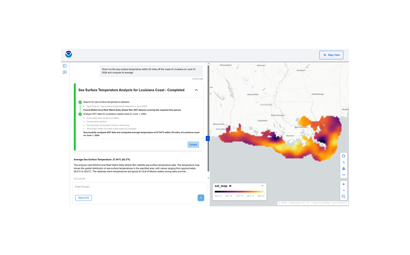
Building Conversational Interfaces for Querying and Analyzing Geospatial Data
NOAA maintains thousands of datasets of various kinds (remote sensing, in-situ, derived etc.) across multiple domains (climate, weather, ecology, etc.) consumed by a wide variety of users (scientists, engineers, urban planners, etc.), but discovering, accessing, and using these datasets remains a significant challenge. Recent developments in cloud-native geospatial technologies and standards have made geospatial data…
-
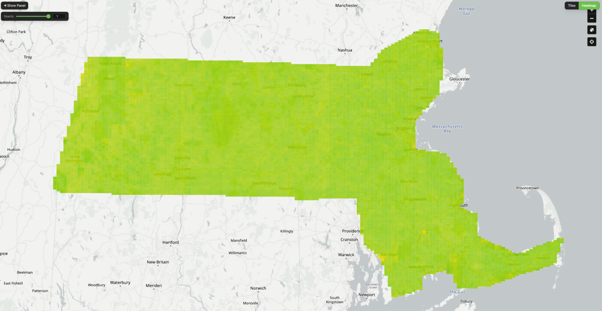
Building and Validating LLM-Generated Captions and Embeddings for Geospatial Imagery in Queryable Earth
At Element 84, we’ve been exploring how LLMs can improve geospatial imagery search. We recently published a blog post detailing our latest updates to our Queryable Earth demo which lets users search for visible features on the Earth using natural language. Until recently, it relied entirely on SkyCLIP, an open-source vision-language model, to generate the…
-
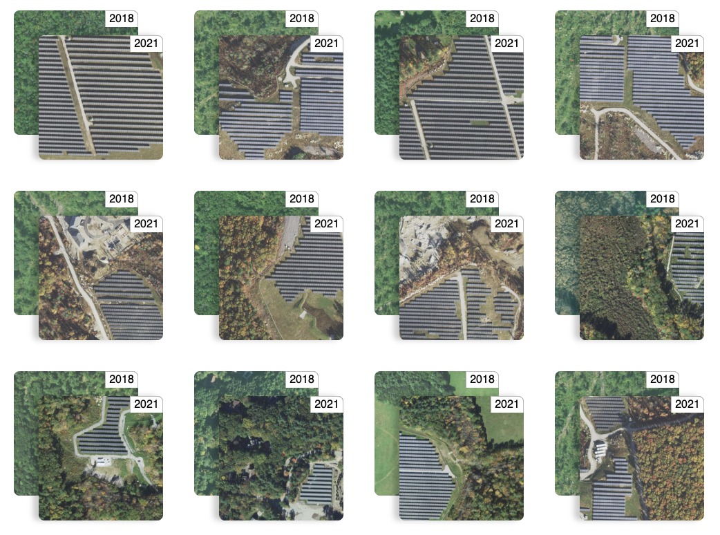
Queryable Earth Demo Update: Now with Change Detection!В
We detail how we used our research surrounding queryable Earth and natural language geocoding to demonstrate data accessibility in an intuitive and interactive way – and how you might be able to harness some of the same ideas in your own work.В
-
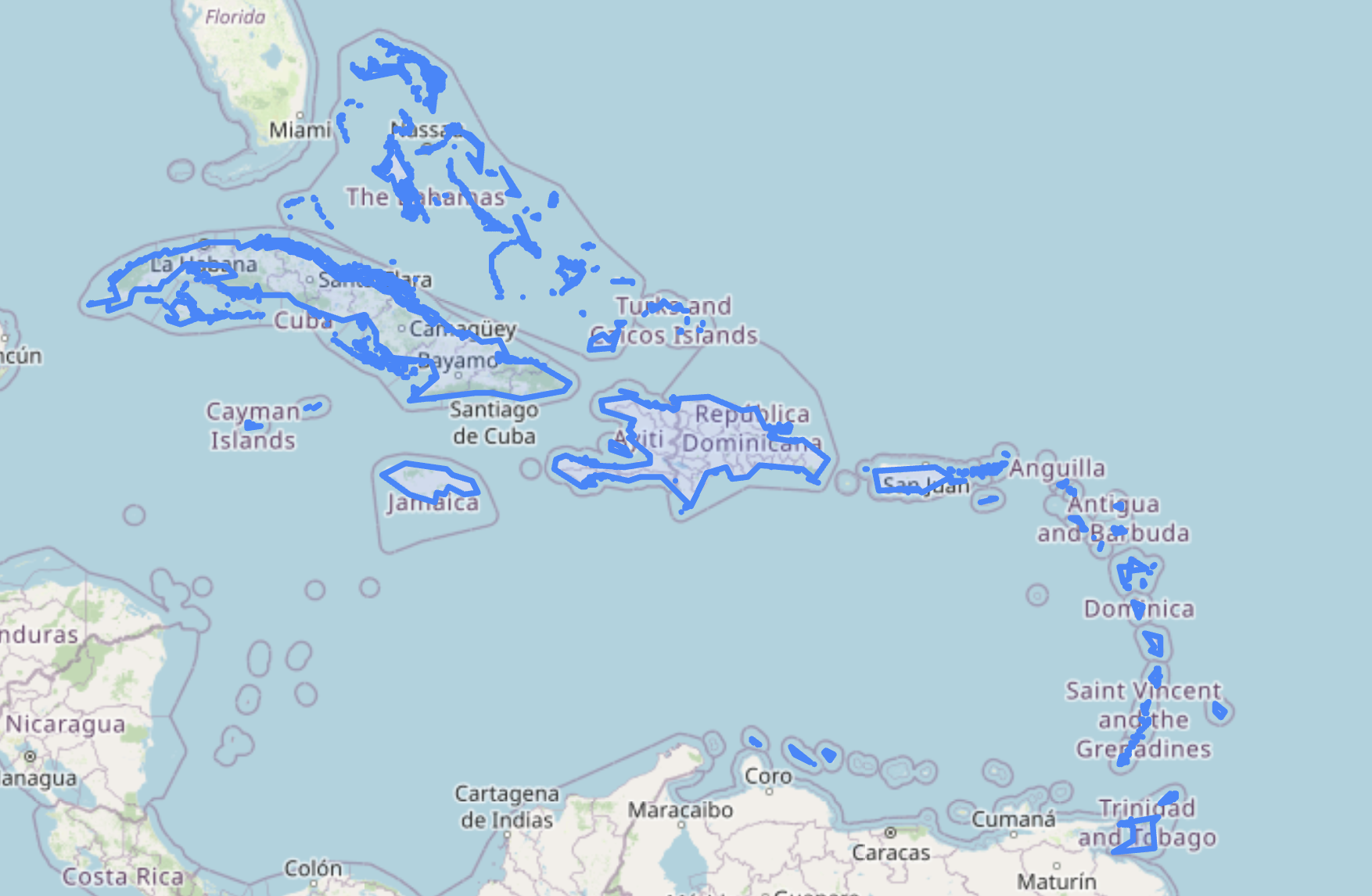
Introducing Natural Language Geocoding v0.1.0: An LLM-Enabled Geocoding Database
The landscape of geospatial AI is rapidly evolving. Many organizations are building LLM-powered solutions that tackle complex geospatial problems and answer sophisticated questions about our planet. These agentic approaches allow LLMs to autonomously select from toolsets that include geospatial tools, Earth Observation (EO) catalogs, and EO data processing capabilities. The result? Systems that can process…