geospatial
<- Return to all blogs
-

Announcing our 2023 Geospatial Tech Radar
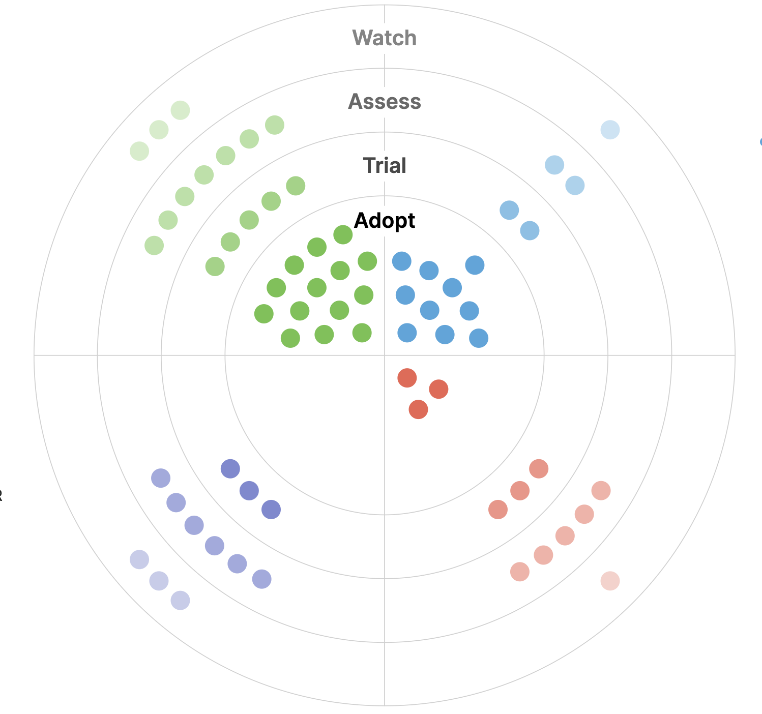
Ahead of this year’s FOSS4G North America gathering, we’re rolling out a 2023 edition of our Geospatial Tech Radar idea, which we plan to update annually to track what’s up-and-coming in geospatial techniques, standards, data, and tools/platforms.
-
Announcing our 2023 Geospatial Tech Radar
Ahead of this year’s FOSS4G North America gathering, we’re rolling out a 2023 edition of our Geospatial Tech Radar idea, which we plan to update annually to track what’s up-and-coming in geospatial techniques, standards, data, and tools/platforms.В

-
Cloud Optimized GeoTIFF vs the Meta Raster Format
If you are working with geospatial data visualizations you have probably heard of Cloud Optimized GeoTIFFs and may also have heard of the Meta Raster Format. These formats both provide efficient access to visualization data and have similar goals. The popular GDAL library supports both. So what are the differences, and when would you choose…