Software Engineering
<- Return to all blogs
-

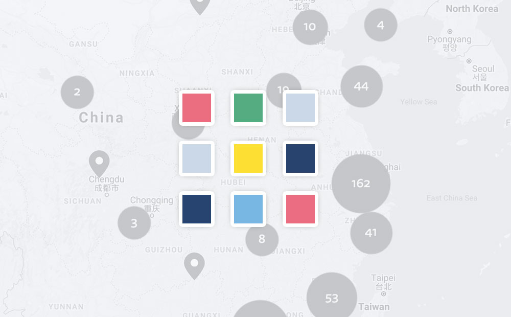
Ethical Machine Learning for Disaster Relief: Avoiding the Second Disaster
Machine learning on satellite imagery is revolutionizing disaster relief. What does ethical machine learning mean in this field?
-
Ethical Machine Learning for Disaster Relief: Avoiding the Second Disaster
Machine learning on satellite imagery is revolutionizing disaster relief. What does ethical machine learning mean in this field?
-
Betting Big on the Spatiotemporal Asset Catalog (STAC) Standard
We’re investing heavily in the STAC specification – including building a STAC-compatible Python library and server as well contributing to the Label Extension. We’re hoping this work will help accelerate adoption across the geospatial engineering community more broadly.

-
Introducing PySTAC: A Core Library for SpatioTemporal Asset Catalogs
PySTAC is a Python library for reading, writing, and manipulating SpatioTemporal Asset Catalogs. PySTAC 0.3 is now released and ready to use!
-
GeoTrellis 3.0 Release
GeoTrellis 3.0 includes feature additions and improvements that make it easier to read raster data from a variety of formats and sources, and support COG’s.
-
Mapping with Leaflet and React
Mapping is hard, but spinning up a new app that renders maps doesn’t have to be. Here’s how you can easily get started working with maps in a new React app. Not that AAA map under your car seat Maps have been around for thousands of years, but they’ve become more complex and powerful within…
-
Serverless Devise with Jets
Over the past few years, serverless design has taken the cloud community by storm. It is hard to ignore–with promises like “pay only for what you use”, “no security patching”, and “infinite scalability”. Being on the cutting edge can have drawbacks too, which in this case is what I would describe as an absence of…
-
Partnering with CloudFactory on Quality Training Data and Social Impact
Read about our journey to hiring an outsourced data labeling firm and how we’ve found a partner in CloudFactory.
-
STAC: Creating an Ecosystem of SpatioTemporal Assets
STAC is creating an ecosystem of interoperable spatiotemporal assets. Learn how Azavea has contibuted and about future steps for the specification.

-
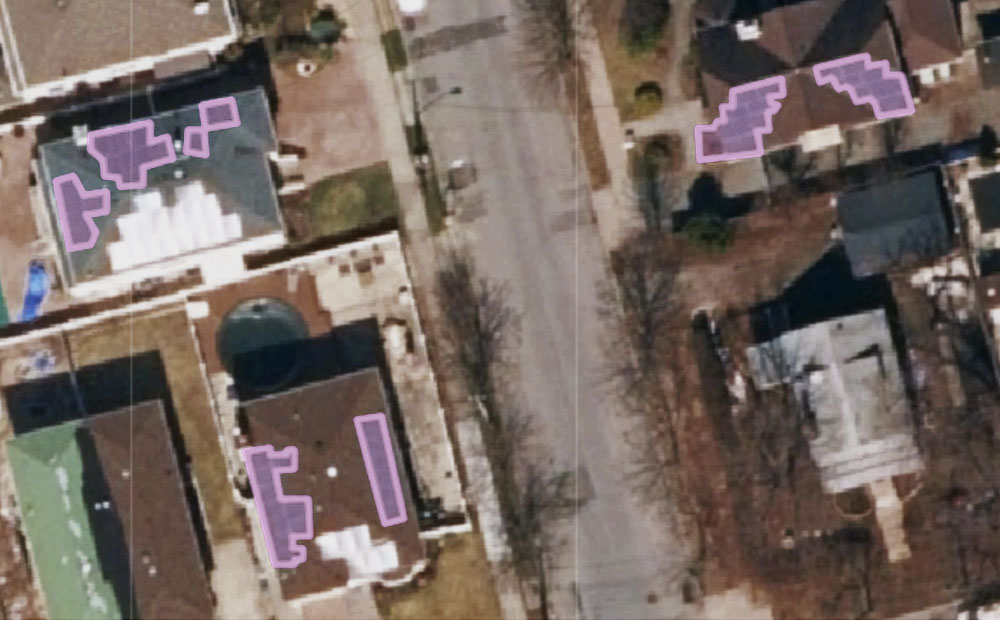
Transfer Learning from RGB to Multi-band Imagery
We used transfer learning to teach a model to take advantage of multi-band imagery without discarding the original RGB pre-training. This resulted in significant performance improvement.
-
Using the Dedupe Machine Learning Library for Cleaning and Matching Data
To deal with issues of apparel facility list data quality and scale quickly and efficiently we need a machine learning tool that can capture the knowledge of domain experts, find commonalities in jumbled text, and confidently compare large lists without the need to compare each individual entry.