Software Engineering
<- Return to all blogs
-
Sentinel-2 Cloud-Optimized GeoTIFFs Now Available on AWS Registry of Open Data
This week, in collaboration with Geoscience Australia, we released our Sentinel-2 Cloud-Optimized GeoTIFF (COG) dataset on AWS Open Data. Our collection contains all 11.4 million scenes from the Sentinel-2 Public Dataset, except the JPEG2000 (JP2K) files are all converted to COGs. Our dataset is continuously updated to mirror the growth of the public Sentinel-2 data…
-
PySTAC 0.5.0 for STAC 1.0.0-beta.2
PySTAC 0.5.0 for STAC 1.0.0-beta.2 is released! We’re keeping PySTAC up with changes to the spec itself, and rounding out the library with new extensions and features. In this post, we’ll catch you up with what’s new.

-
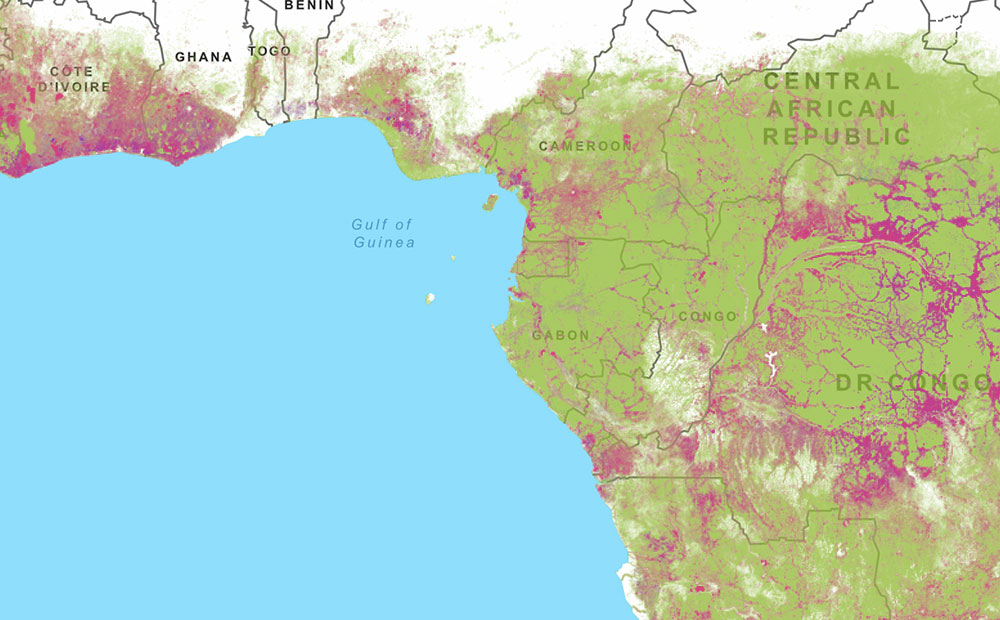
Amazon Web Services and Amazon Rain Forests: A Software Architectural Review
WRI hired Azavea to perform a software architectural review to evaluate the technical organization of Global Forest Watch.
-
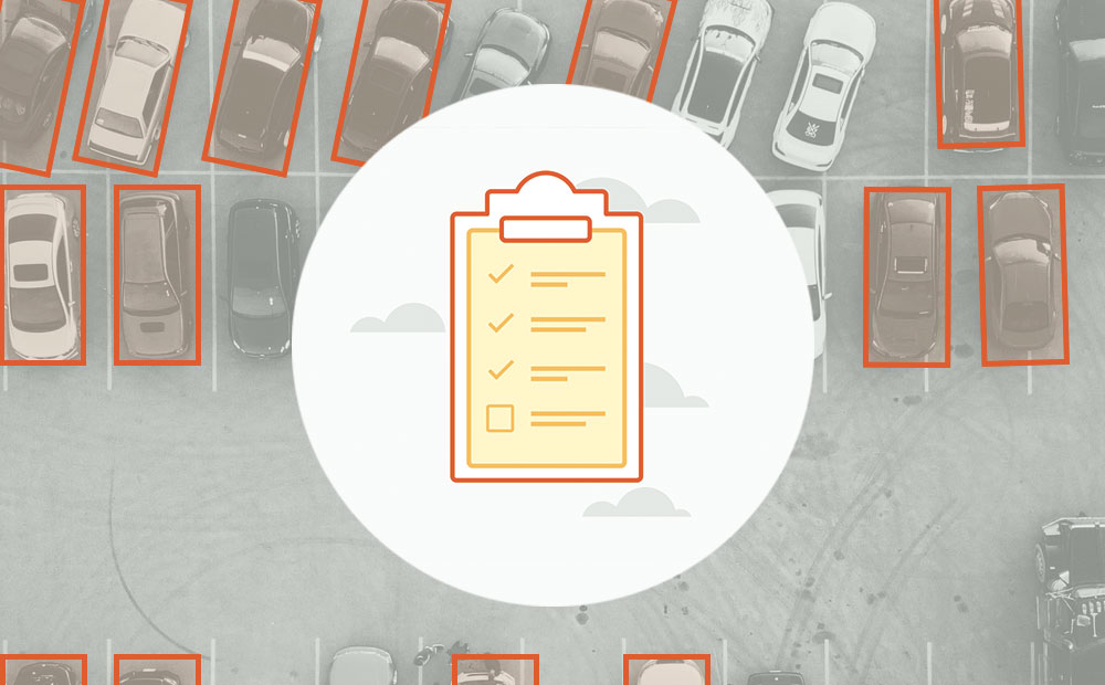
3 Tips to Optimize Your Machine Learning Project for Data Labeling
Mining the knowledge and expertise of your data labeling team will improve the data quality of your machine learning project and increase your team’s productivity.
-
White Paper: Creating a GEDI Geo-Locator
Remote sensing instruments like NASA’s GEDI, which is mounted to the Japanese Experiment Module – Exposed Facility (JEM-EF) on the International Space Station (ISS), produce a massive amount of data and one of the tools scientists use when working with those data is a geo-locator–a geographic coordinates search engine. GEDI, launched in 2018, is the…
-
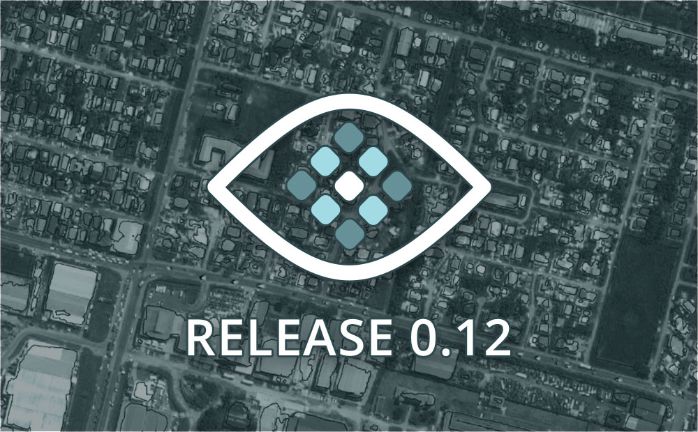
Introducing Raster Vision 0.12
We refactored the Raster Vision codebase from the ground up to make it simpler, more consistent, and more flexible. Check out Raster Vision 0.12.
-
SpaceNet Data Now Available in GroundWork
Incorporate high-resolution satellite imagery into your labeling projects for free.

-
Image Classification Labeling: Single Class versus Multiple Class Projects
When labeling for image classification is it faster to complete projects with single or multiple classes? We ran an experiment to find out.
-
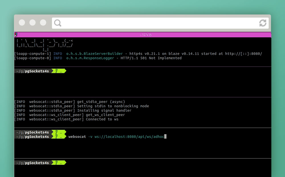
Notifications over Websockets with Http4s and Skunk
In an attempt to avoid relying on polling in a front-end application or third-party services, we attempt servicing asynchronous notifications over websockets using only PostgreSQL and Scala.
-
Prototyping Your Way to Good UX
I’m going to come right out and say it: prototyping is the most powerful tool in your UI/UX tool belt. Let me clarify. I still think of prototyping as one of the many ways to extract valuable information and iterate on a design–like user research or card sorting–but I now put prototyping at the top…