
Company
<- Return to all blogs
-
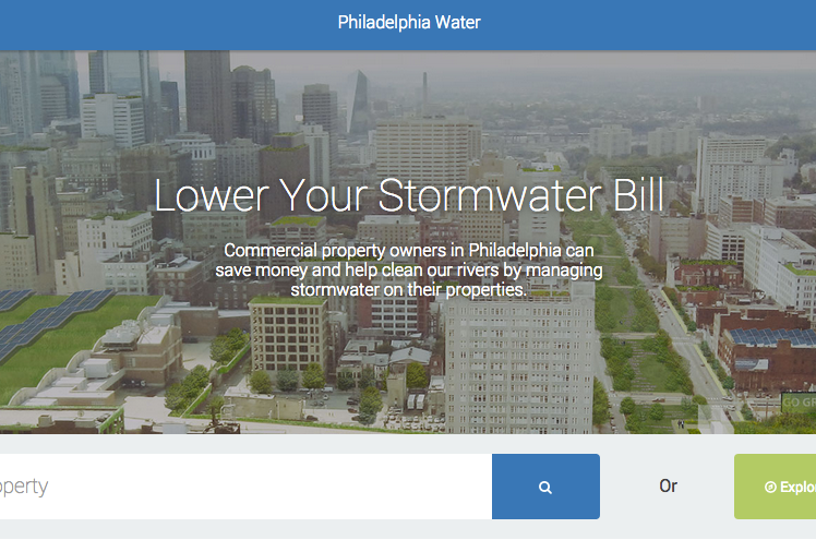
Saving Water by Saving Money: Incentivizing Greener Cities
We outline some highlights from our work so far with the Philadelphia Water Department as we collaborate to aid in “Saving Water by Saving Money”.
-
Saving Water by Saving Money: Incentivizing Greener Cities
We outline some highlights from our work so far with the Philadelphia Water Department as we collaborate to aid in “Saving Water by Saving Money”.
-
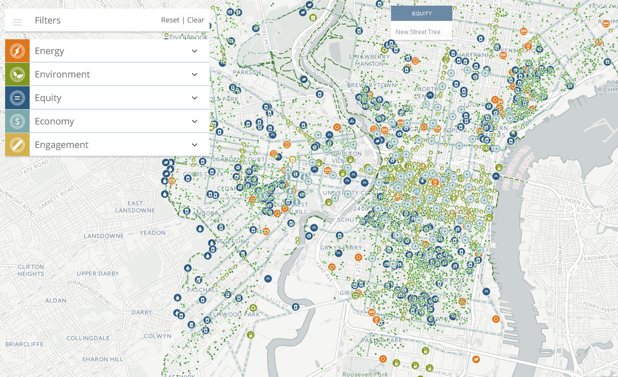
How to Fit 37 Data Sets Into One Map: Creative Cartography
In this post, we tackle a common challenge involving displaying a variety of data sets in one map.
-
TNC Recognized with Special Achievement in GIS (SAG) Award
We discuss our receipt of a Special Achievement in GIS Award for our work alongside The Nature Conservancy.
-
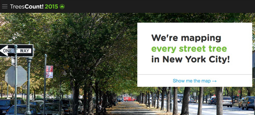
TreesCount! 2015 Ready to Map Every Street Tree in NYC
In this post, we outline our work on the web-based system designed to help with tree mapping initiatives in NYC called TreesCount.
-
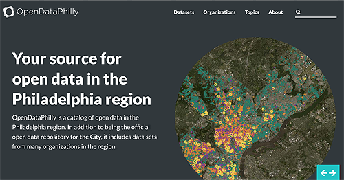
OpenDataPhilly Gets a New Look and More Datasets
Just in time for International Open Data Day, Azavea launched a re-designed and re-engineered OpenDataPhilly.org. This update sets the stage for the future of open data in Philadelphia as well, because the application will be more easily maintained and extended.
-
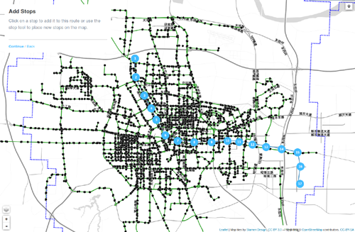
Open Transit Indicators Enable Cities to Design Better Transit Systems
In this blog we detail the Open Transit Indicators project developed by the World Bank.
-
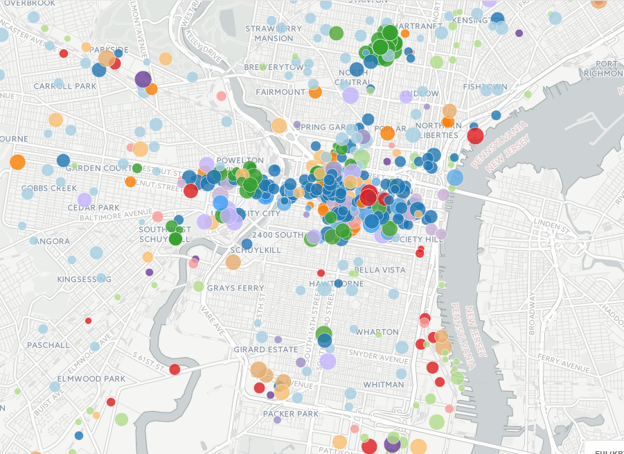
More Sustainable Cities with Building Energy Benchmarking
In this blog post we detail our work to visualize building energy benchmarking data.
-
Coastal Resilience Wins Kudos and Awards
Were you watching the live feed of the UN Climate Summit in NY in September? No? Well, if you’d been watching, you would have seen Jack Dangermond announce the winners of the first Esri Global Disaster Resilience App Challenge. On September 23rd during Climate Week in New York, The United Nations Office for Disaster Risk Reduction…
-
GeoTrellis Selected for Three Google Summer of Code 2014 Projects
GeoTrellis, our open-source framework, is a recipient of three Google Summer of Code fellowships, a global competitive program that offers students stipends to write code for open source projects.
-
OpenDataPhilly is getting an upgrade and more funding
Learn more about the latest funding updates to OpenDataPhilly.