
Company
<- Return to all blogs
-
SBIR Grant Obtained to Develop Web-based, Hyper Local Climate Impact Assessment Modeling Service
Learn more about our SBIR grant and our plans to develop a web-based, hyper local climate impact assessment modeling service.
-
SBIR Grant Obtained to Develop Web-based, Hyper Local Climate Impact Assessment Modeling Service
Learn more about our SBIR grant and our plans to develop a web-based, hyper local climate impact assessment modeling service.
-
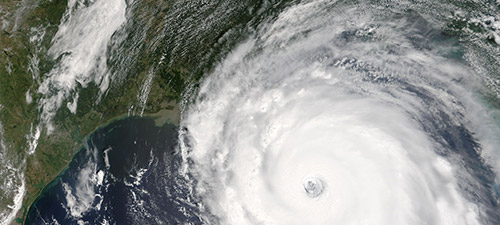
Grant Awarded to Build an Interactive Climate Modeling Service for Local Governments
We describe the plans we have to build an interactive climate modeling service for local governments in partnership with The Nature Conservancy.
-
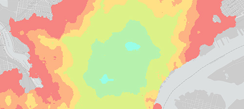
GeoTrellis 0.9 Released
After several release candidates and getting the hang of a new review and release process as part of GeoTrellis’ journey to be a LocationTech-incubated project, we’re proud to announce that GeoTrellis 0.9 – codenamed “Avalon” – is officially released!
-
GeoTrellis Software Framework Submitted to the Eclipse Foundation
We announce that we’ve submitted GeoTrellis, a high-performance geospatial data processing framework, to LocationTech, a new working group at the Eclipse Foundation focused on geospatial open-source projects.
-
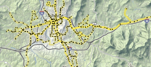
What is GTFS?
In this blog we describe GTFS, the General Transit Feed Specification and outline some of our work with it.
-
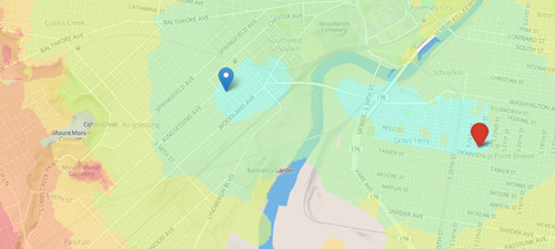
Calculating Travelsheds and Transit Accessibility with GeoTrellis Transit
In this blog, we discuss our experience calculating travelsheds and transit accessibility using GeoTrellis Transit.
-
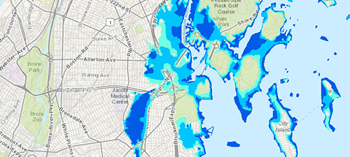
Assessing Risk and Identifying Nature-based Solutions with Coastal Resilience 2.0
In this blog, we dive into our work with the Nature Conservancy to build a framework that would enable them to integrate ecological and socio-economic data and applications into one unified costal resilience platform.
-
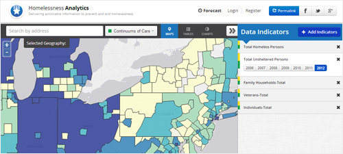
The Homelessness Analytics Application: Access to Hundreds of Homelessness Indicators Nationwide
In this post, we feature a new homelessness analytics application that provides access to hundreds of homelessness indicators nationwide
-
New Web-based Application Provides Critical Information on Homelessness Nationwide
The Homelessness Analytics application provides users with access to national, state, and local data about homelessness among both veterans and the general population including risk and protective factors, support services and resources.
-
NSF SBIR Grant Awarded to Develop a Web-based Historical Geocoder
The Temporal Geocoder will enable historians, librarians, archivists, scholars and the public to assign geographic locations to historical materials housed in libraries, archives and museums, enabling broader access and location-based searching.