All blog posts
<- View categories
-
Fast, Secure, Reliable Uploads to Amazon Web Services from a Web Browser
The Problem Recently, I needed to implement large file uploads to Amazon Web Services (AWS) from a web browser. We had some requirements with possible solutions: S3 is the ideal place to upload files but there are issues with uploading from a web browser to S3. You don’t want to give users free reign to…
-
Introducing TileJSON.io, A Fast and Easy Way to View and Share Raster Tiles
TileJSON.io is an open source project by Azavea. It is an easy way to view and share raster tile sets using slippy map endpoints.
-
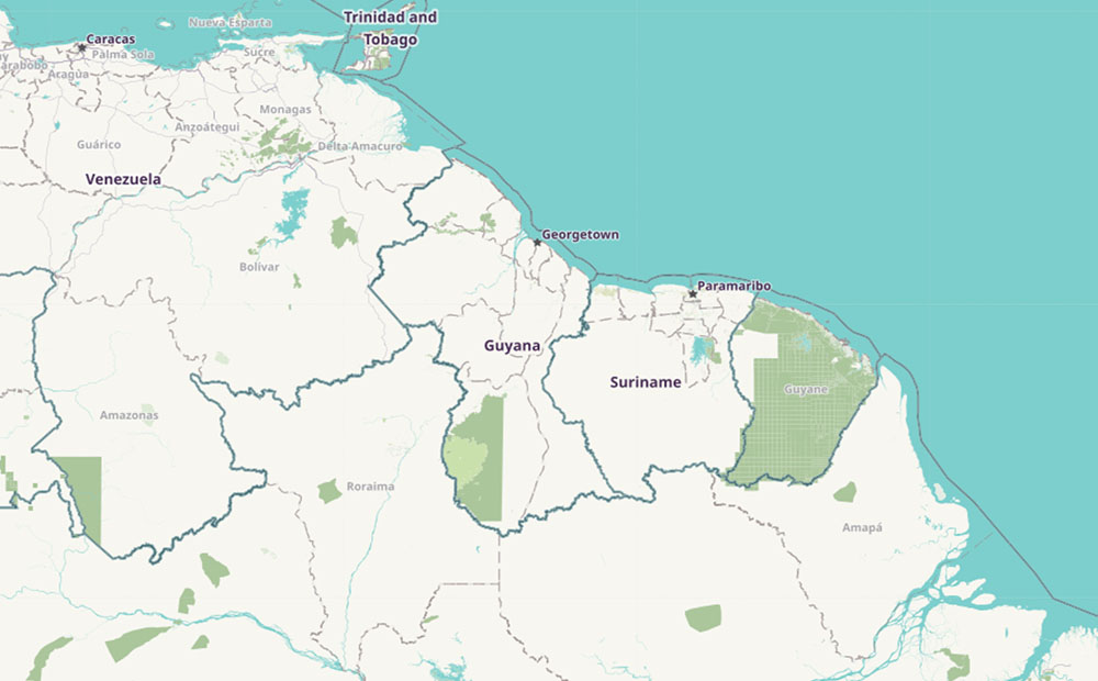
Enhancing GIS Capacity with OpenStreetMap
We’re working with the Inter-American Development Bank to improve the GIS capacity of Guyana with tools built to extract OpenStreetMap data.
-
Coffee as Culture
Element 84 isn’t unique because most of us like coffee. Embracing everyone’s unique ways of making and enjoying it is what makes it part of our culture. Starting from a simple bean We all have our different ways of making it. Some like to use a pod in a machine, while others like that machine…
-
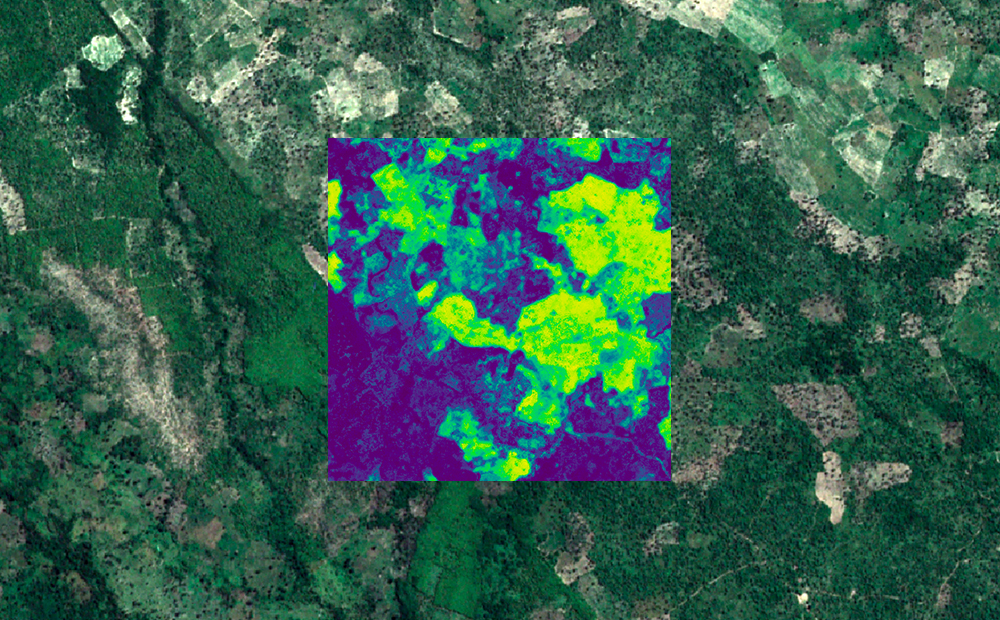
Mapping Africa: Crowdsourced Machine Learning
We leveraged our ability to process raster imagery, our open sources libraries, and our knack for machine learning to map agricultural fields in Africa.
-
Accuracy is in the Eye of the Beholder
Accuracy in deep learning models is not as cut and dry as many present it to be. We examine several examples where accuracy is more of a judgment call.
-
Designing From First Principles
A first principle is a basic concept or assumption we know to be true, that is not deduced from anything else. First principles help us solve problems by avoiding generalities that can lead to poor decision making. Applying first principles thinking is a two part process: What are some common best practices that designers fall…
-
Decision Making @ The Edge
In July 2017 Amazon Web Services (AWS) made Lambda@Edge available for all customers, giving organizations the ability to run code on the over 100 CloudFront edge locations around the world at the point that is closest to the user. While Lambda@Edge functions are more limited than regular lambda functions, they give developers the ability to…
-
Responsive Typography: rem, em, and px
Intro Dealing with type on the web can be a challenge, especially when you have to account for the ever-changing range of screen sizes. Ultimately the font size(s) you use for headings, body copy, and whatever else directly effects the layout of you page, and when you’re dealing with dozens, or even hundreds of pages…
-
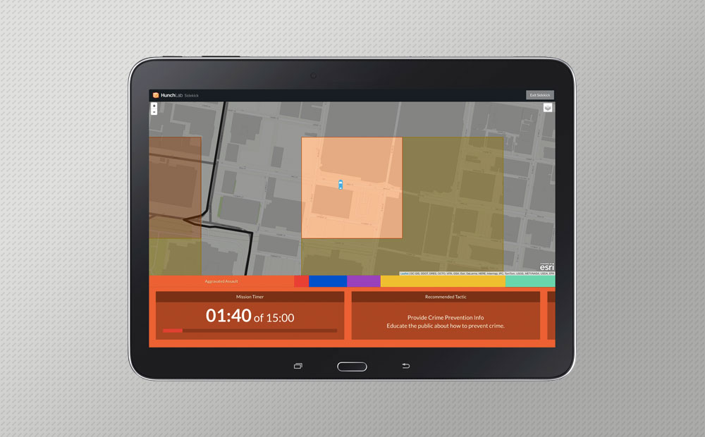
Why We Sold HunchLab
We sold HunchLab, our web-based predictive policing and patrol management system, in the fall of 2018. Our CEO outlines why.