Author: Niki LaGrone
<- Return to all blogs
-
Machine Learning to Drive Urban Resilience: Mapping Tree Canopy with the World Bank
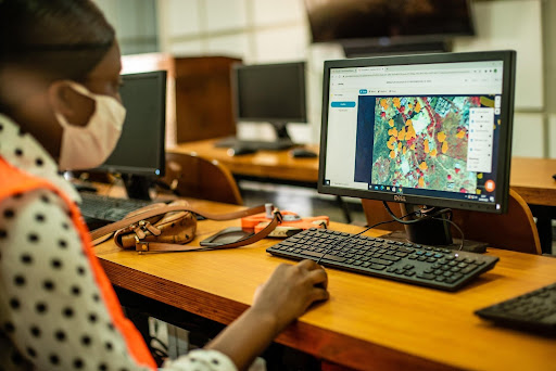
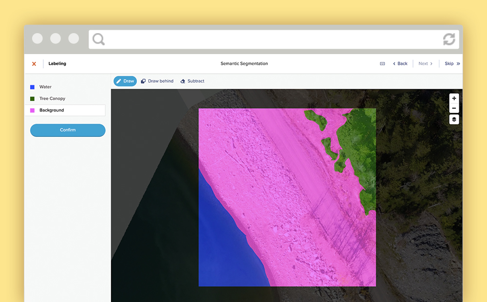
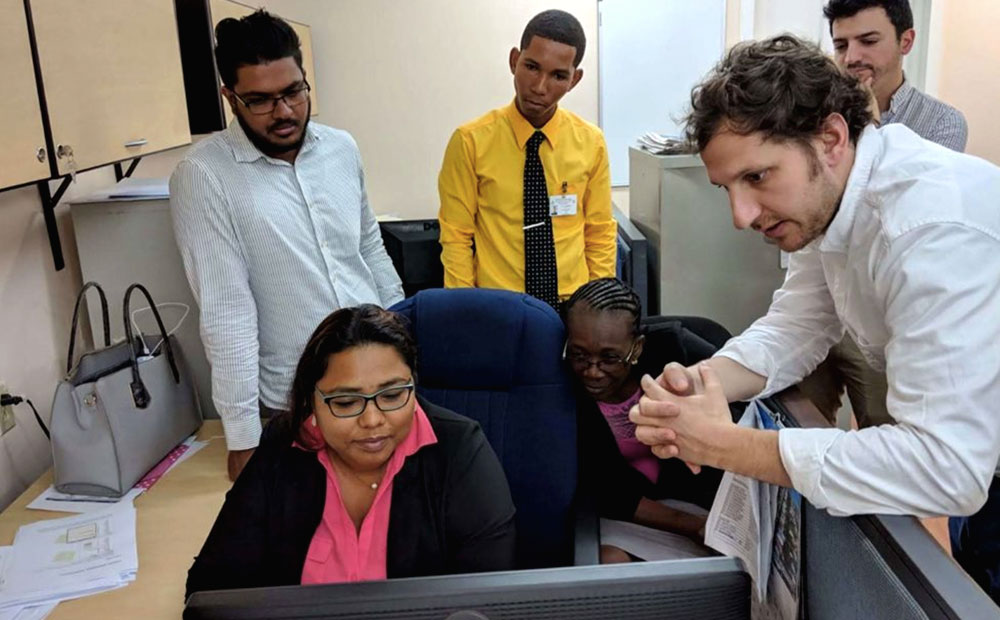
As one of seven pilot programs to address environmental issues in Africa, Azavea trained student workers to label satellite imagery using GroundWork and created a machine learning model to identify tree canopy.
-
Machine Learning to Drive Urban Resilience: Mapping Tree Canopy with the World Bank
As one of seven pilot programs to address environmental issues in Africa, Azavea trained student workers to label satellite imagery using GroundWork and created a machine learning model to identify tree canopy.
-
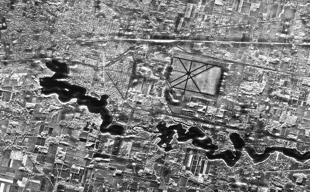
Labeling SAR Imagery for Machine Learning: A Beginners Guide
SAR imagery is having a moment. In this blog we explore what exactly it is, why it is so special, and tips for labeling it.
-
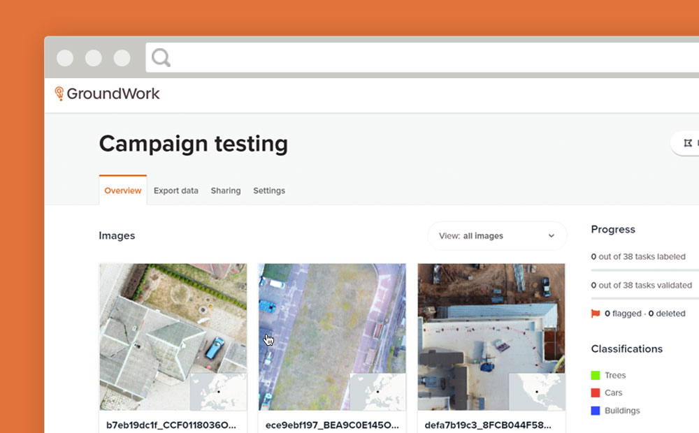
GroundWork Launches Campaigns
Need to create a training dataset that contains multiple images? GroundWork launches “Campaigns” to help you handle large datasets for machine learning.
-
Managing Data Labeling for Machine Learning Projects
Responsible for the data labeling for a machine learning project? Here are some insights we’ve developed while managing data labeling for machine learning.
-
3 Tips to Optimize Your Machine Learning Project for Data Labeling
Mining the knowledge and expertise of your data labeling team will improve the data quality of your machine learning project and increase your team’s productivity.
-
Image Classification Labeling: Single Class versus Multiple Class Projects
When labeling for image classification is it faster to complete projects with single or multiple classes? We ran an experiment to find out.
-
Can AI Reduce Harm to Children?: Gabriel Fernandez and the Case for Machine Learning
Could AI have saved Gabriel Fernandez’s life? Data and social scientists argue that machine learning might have kept him alive. What exactly is this potentially life-saving AI? Learn more about predictive risk modeling, how governments currently use similar AI, and the ethical questions such work raises.

-
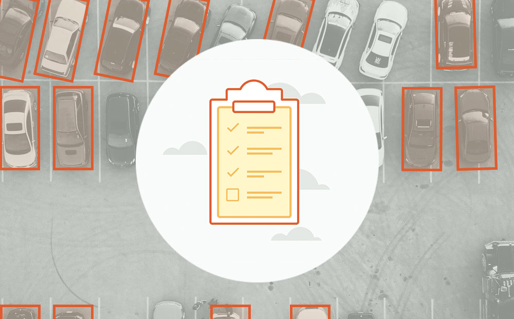
Labeling Satellite Imagery for Machine Learning
Definitions and visuals of the most common ways to label satellite imagery for machine learning. Includes tips for managing annotations for each type.
-
Ethical Machine Learning for Disaster Relief: Rage for Machine Learning
ML’s predictive powers are driving a rage for deep learning in the crisis management and disaster relief industries. How can these powers be harnessed for ethical machine learning?
-
Ethical Machine Learning for Disaster Relief: Avoiding the Second Disaster
Machine learning on satellite imagery is revolutionizing disaster relief. What does ethical machine learning mean in this field?
