Redistricting
<- Return to all blogs
-

Our 10% Time Program: How We Encourage Innovation Internally
We outline our 10% time program in detail, highlight some notable examples and themes, and describe the impact of the program.
-
Our 10% Time Program: How We Encourage Innovation Internally
We outline our 10% time program in detail, highlight some notable examples and themes, and describe the impact of the program.
-
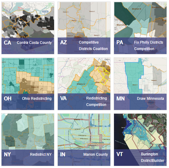
Announcing the Winners of Map Across America: A National Redistricting Competition
DistrictBuilder, Azavea’s free redistricting tool, recently held a competition in partnership with the Public Mapping Project to encourage more participation in the redistricting process.

-
Which Congressional Districts are Over and Under Populated
We calculated which congressional districts have become over or underpopulated since they were last drawn.
-
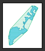
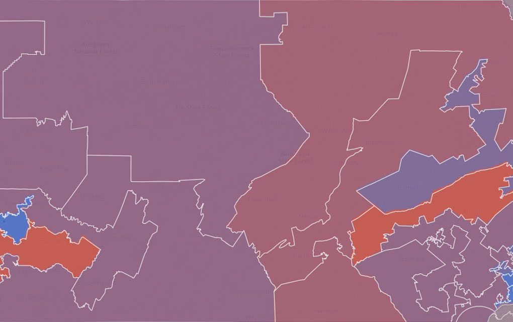
Exploring Pennsylvania’s Gerrymandered Congressional Districts
Explore Pennsylvania’s soon-to-be-defunct gerrymandered Congressional districts through info prepared for a U.S. Federal Court expert witness report.
-
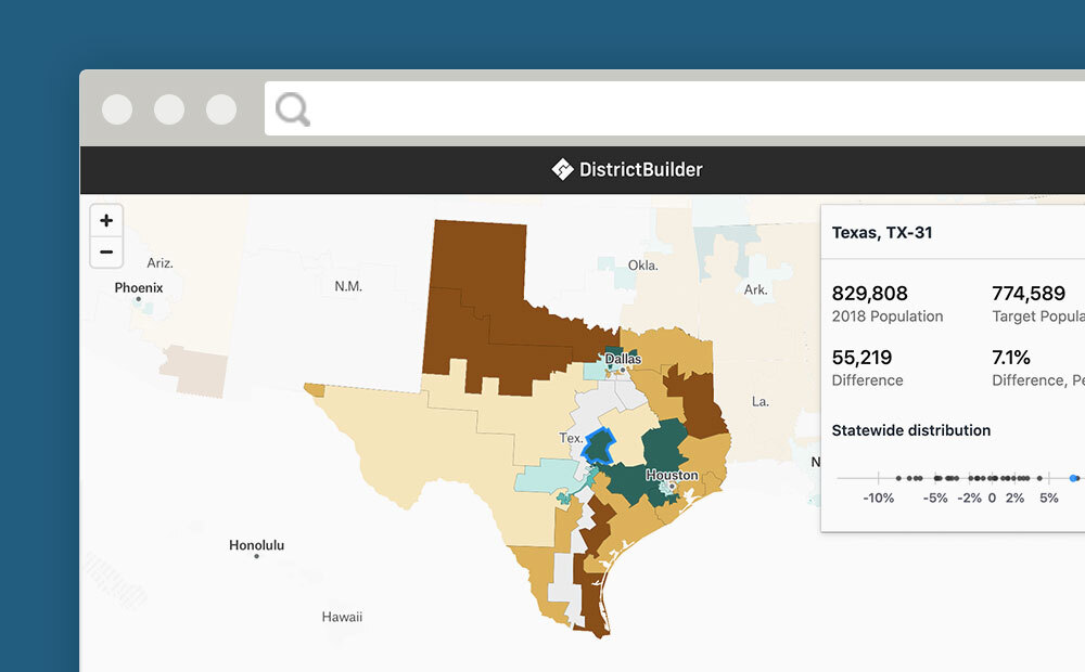
The Road Ahead for DistrictBuilder and Public Redistricting
Seven years ago Azavea began working with the Public Mapping Project to create DistrictBuilder, an open source, web software tool that would enable people to draw their own legislative district plans. We worked with leading redistricting experts: Michael McDonald (Associate Professor at the University of Florida and head of the Elections Project) and Micah Altman…
-
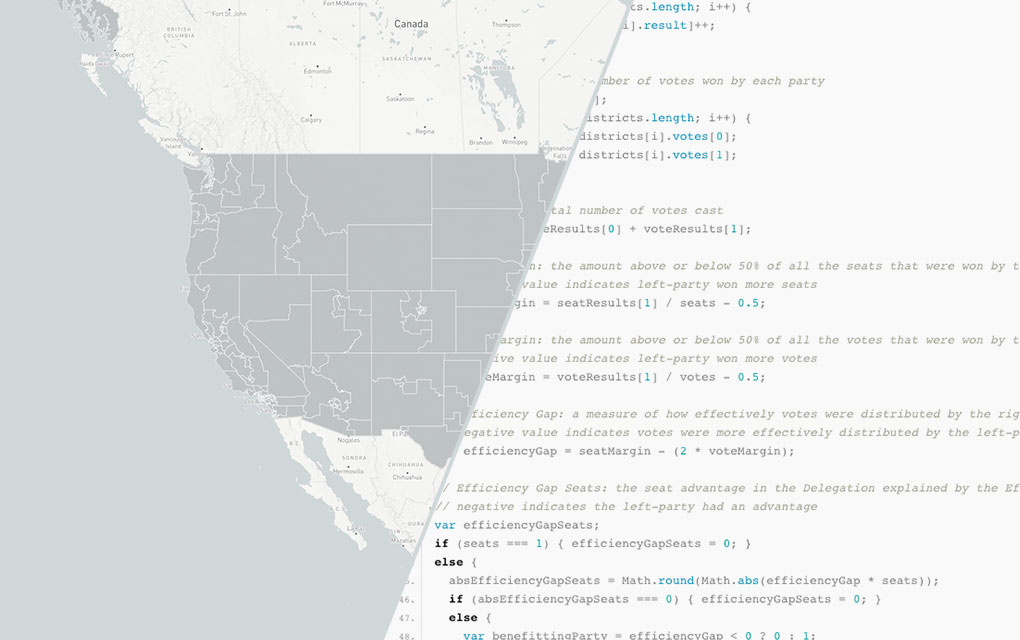
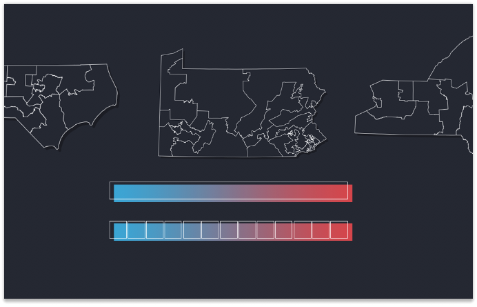
Leveraging Node.js, D3.js, and HTML Canvas for Scalable Infographics
In Part 3 of our 3-part series on Azavea’s redistricting and gerrymandering work, we look at the technical process behind developing infographics for efficiency gap reports. We made strategic use of JavaScript visual tools and Node.js as a scripting language in our design and production of 50 infographics about the efficiency gap, automatically creating one for…
-
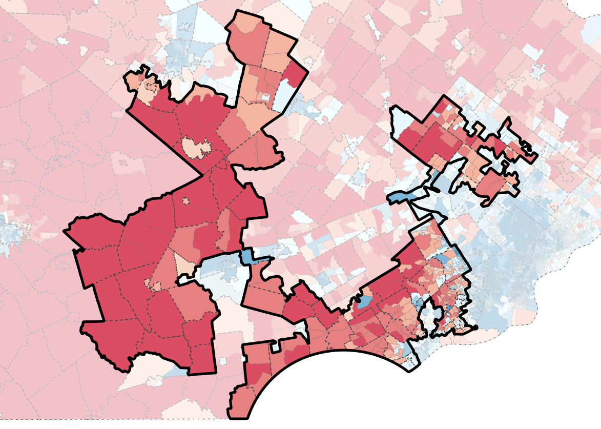
The Most Gerrymandered States Ranked by Efficiency Gap and Seat Advantage
Learn about our methodology for ranking the efficiency gap for each Congressional delegation in all 50 states and visualize the results.
-
The Evolution of Our Redistricting and Gerrymandering Work
In part 1 of our series on Azavea’s redistricting and gerrymandering work, we look at the history of our involvement in this space and what we’re currently working on. Gerrymandering, compactness, contiguity, the efficiency gap. These are the kinds of words that make a lot of redistricting nerds excited these days. Rarely does the application…
-
Redistricting Roundup: 2016 Edition
In this blog we give an update on all of the redistricting litigation and news we tracked during the 2016 election cycle.
-
Measuring District Compactness in PostGIS
In this blog we discuss strategies for measuring district compactness in PostGIS.