Raster Vision
<- Return to all blogs
-
Ethical Machine Learning for Disaster Relief: Rage for Machine Learning
ML’s predictive powers are driving a rage for deep learning in the crisis management and disaster relief industries. How can these powers be harnessed for ethical machine learning?
-
Ethical Machine Learning for Disaster Relief: Rage for Machine Learning
ML’s predictive powers are driving a rage for deep learning in the crisis management and disaster relief industries. How can these powers be harnessed for ethical machine learning?
-
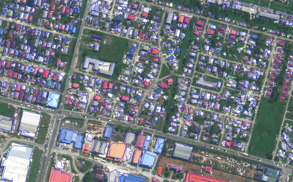
Ethical Machine Learning for Disaster Relief: Avoiding the Second Disaster
Machine learning on satellite imagery is revolutionizing disaster relief. What does ethical machine learning mean in this field?

-
Betting Big on the Spatiotemporal Asset Catalog (STAC) Standard
We’re investing heavily in the STAC specification – including building a STAC-compatible Python library and server as well contributing to the Label Extension. We’re hoping this work will help accelerate adoption across the geospatial engineering community more broadly.

-
An Introduction to Satellite Imagery and Machine Learning
Today, the availability of satellite imagery still far outpaces our capacity to analyze it, but machine learning and tools like Raster Vision are helping.
-
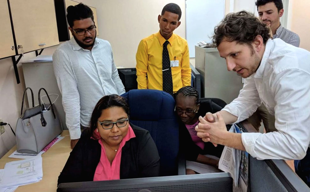
Partnering with CloudFactory on Quality Training Data and Social Impact
Read about our journey to hiring an outsourced data labeling firm and how we’ve found a partner in CloudFactory.
-
STAC: Creating an Ecosystem of SpatioTemporal Assets
STAC is creating an ecosystem of interoperable spatiotemporal assets. Learn how Azavea has contibuted and about future steps for the specification.

-
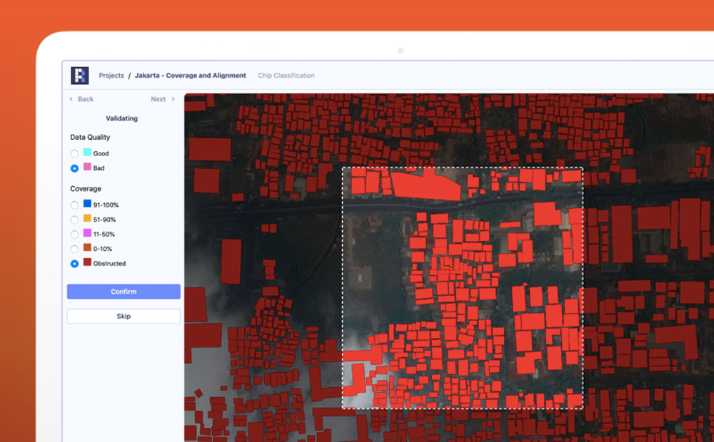
Is This a Crosswalk?: 5 Takeaways from Training a Data Labeling Team
We trained remote computer vision workers to provide data labeling for machine learning projects. Here’s what we learned.

-
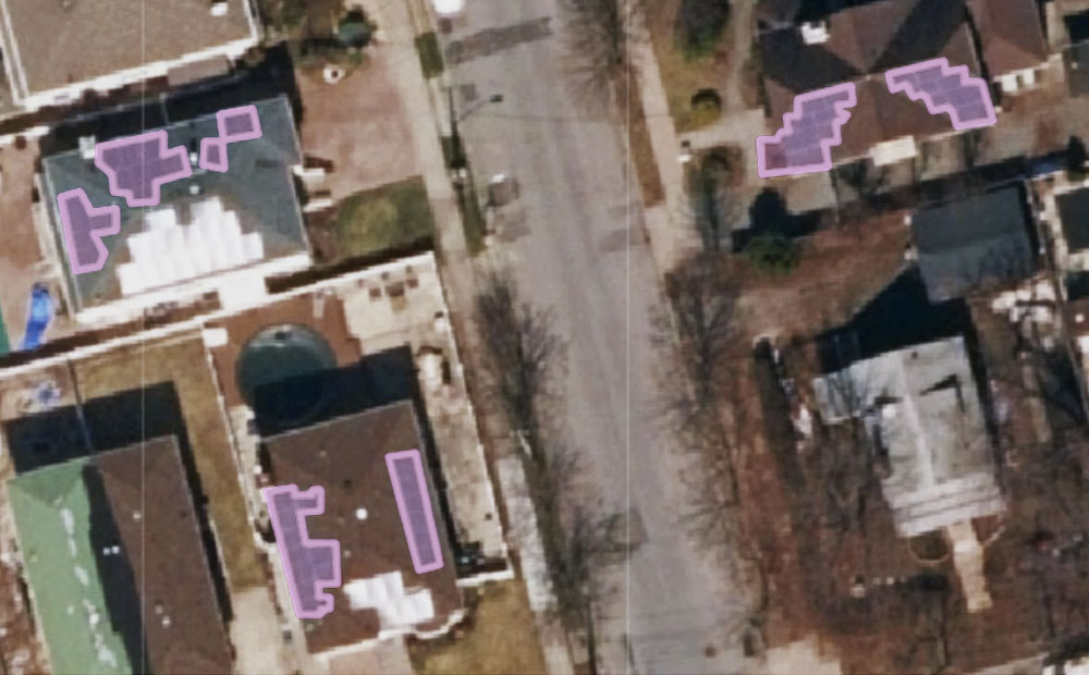
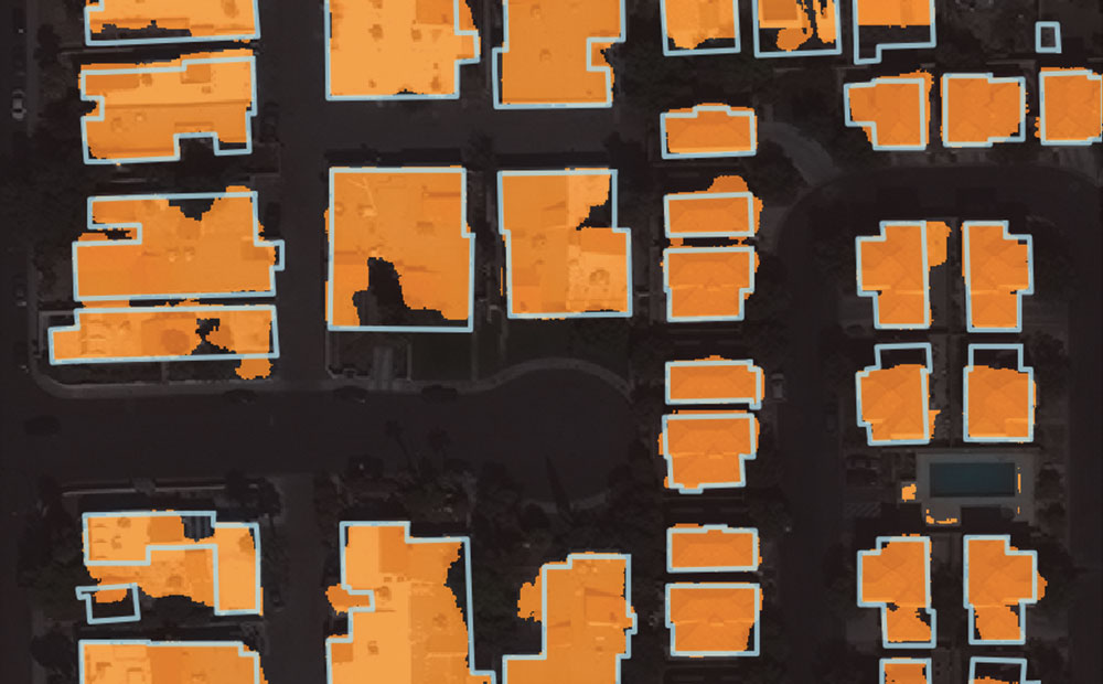
Using Noisy Labels to Train Deep Learning Models on Satellite Imagery
How do noisy labels affect the accuracy of a deep learning model? We added different amounts of noise to the SpaceNet Vegas buildings dataset and trained some models to find out.
-
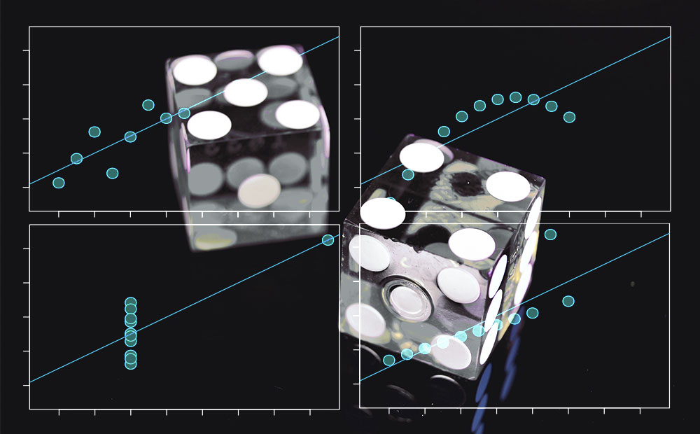
An Introduction to Machine Learning Accuracy Metrics
How accurate of a machine learning model can you make? It depends on how we decide to define “accurate”.
-
Raster Vision 0.9 Release Candidate
This release of Raster Vision includes bug fixes, an easier setup, improved performance, and the ability to train models off of labels in OSM.