Machine Learning
<- Return to all blogs
-
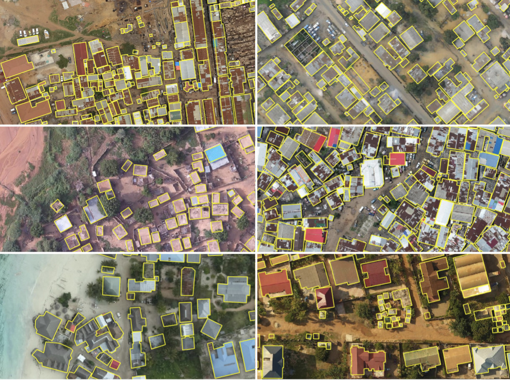
Automated Building Footprint Extraction (Part 1): Open Datasets
In the first installment of this three-part blog series, we summarize some of the latest research on automated building footprint extraction.
-
Automated Building Footprint Extraction (Part 1): Open Datasets
In the first installment of this three-part blog series, we summarize some of the latest research on automated building footprint extraction.
-
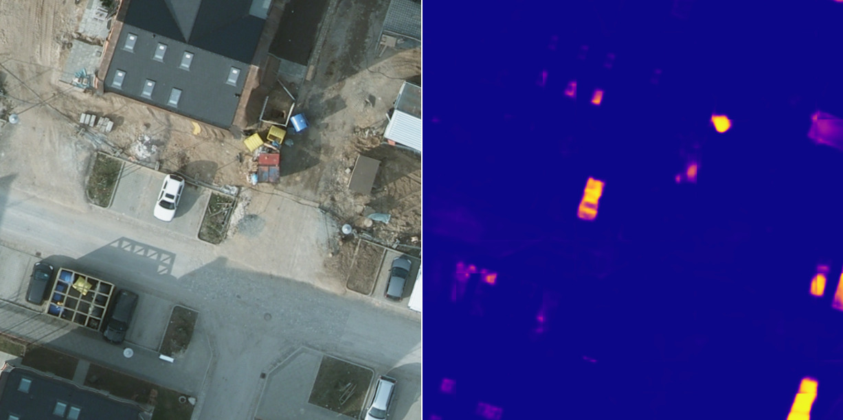
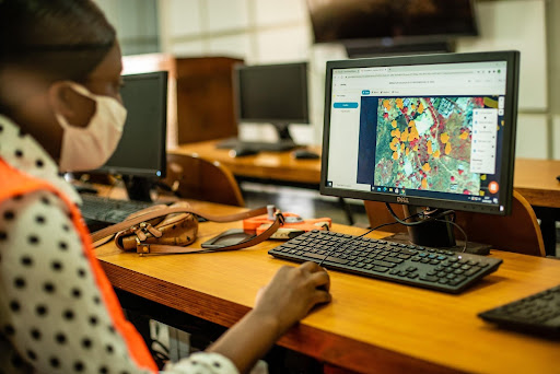
A Human-in-the-Loop Machine Learning Workflow for Geospatial Data
In this blog we demonstrate how an active learning approach can boost machine learning model performance with the human-in-the-loop workflow.
-
Benchmarking Zarr and Parquet Data Retrieval using the National Water Model (NWM) in a Cloud-native environment
In order to benchmark efficiency, we take a deep dive into Zarr and Parquet data retrieval to compare performance on various time scales.
-
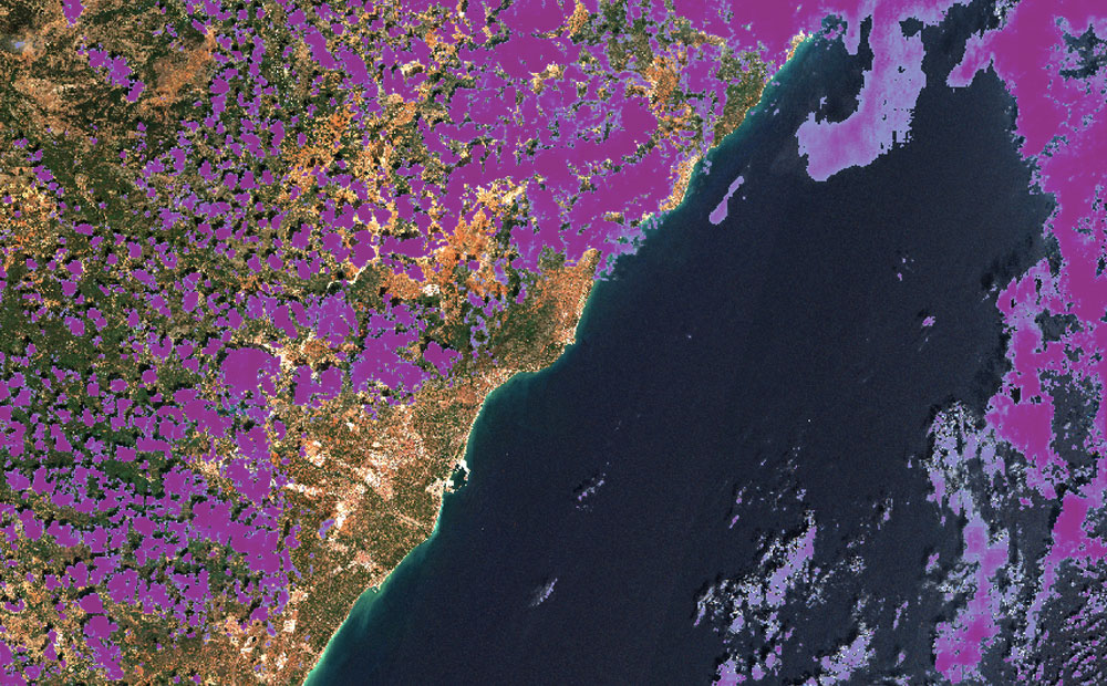
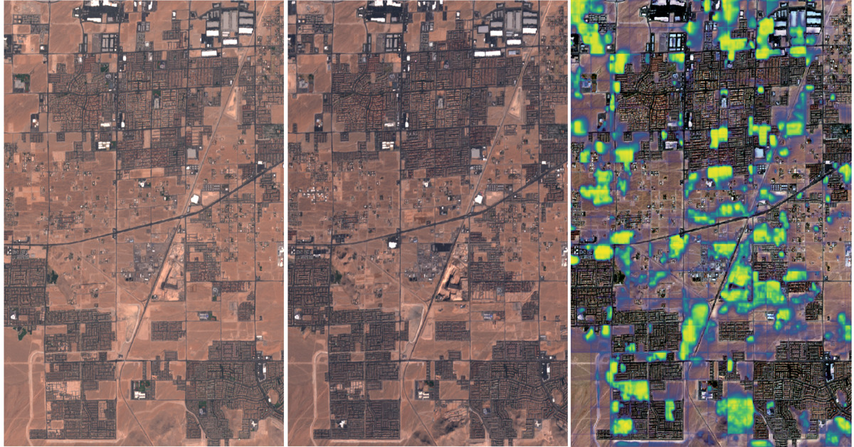
Change detection with Raster Vision
This blog explores the direct classification approach to change detection using our open-source geospatial deep learning framework, Raster Vision, and the publicly available Onera Satellite Change Detection (OSCD) dataset.
-
Machine Learning to Drive Urban Resilience: Mapping Tree Canopy with the World Bank
As one of seven pilot programs to address environmental issues in Africa, Azavea trained student workers to label satellite imagery using GroundWork and created a machine learning model to identify tree canopy.
-
The Azavea Cloud Dataset
Azavea is releasing a dataset consisting of 32 unique Sentinel-2 tiles with cloud labels produced by humans.
-
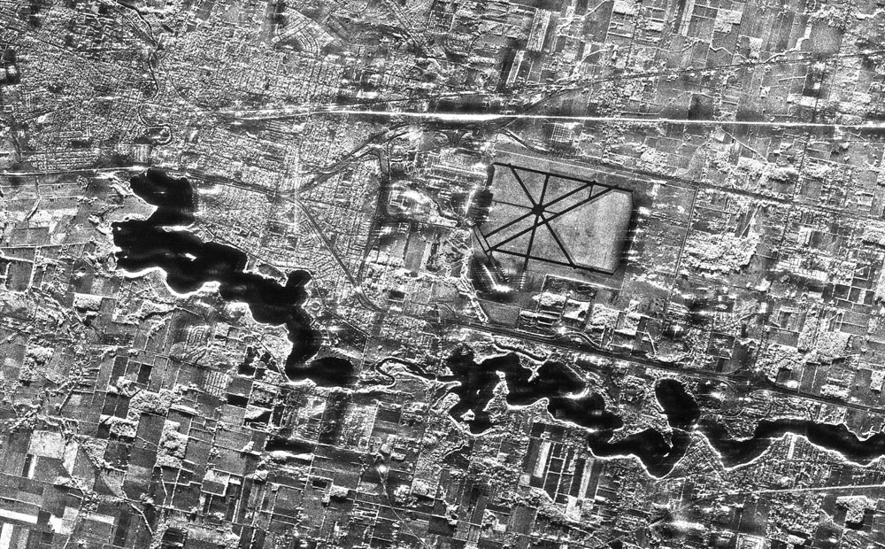
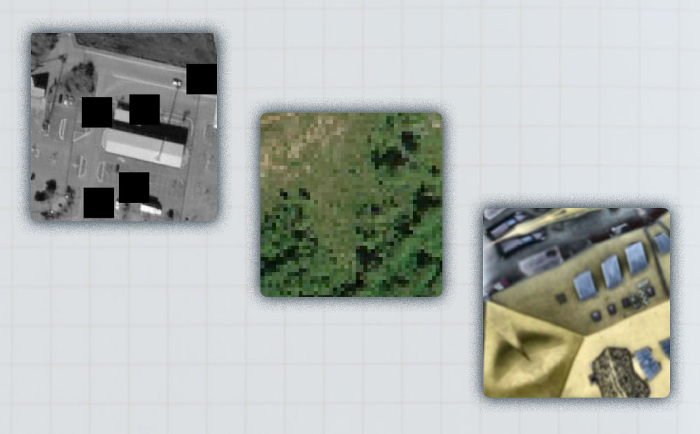
Labeling SAR Imagery for Machine Learning: A Beginners Guide
SAR imagery is having a moment. In this blog we explore what exactly it is, why it is so special, and tips for labeling it.
-
Introducing Raster Vision 0.13
This release presents a major jump in Raster Vision’s power and flexibility. The newly added features allow for finer control of the model training as well as greater flexibility in ingesting data.
-
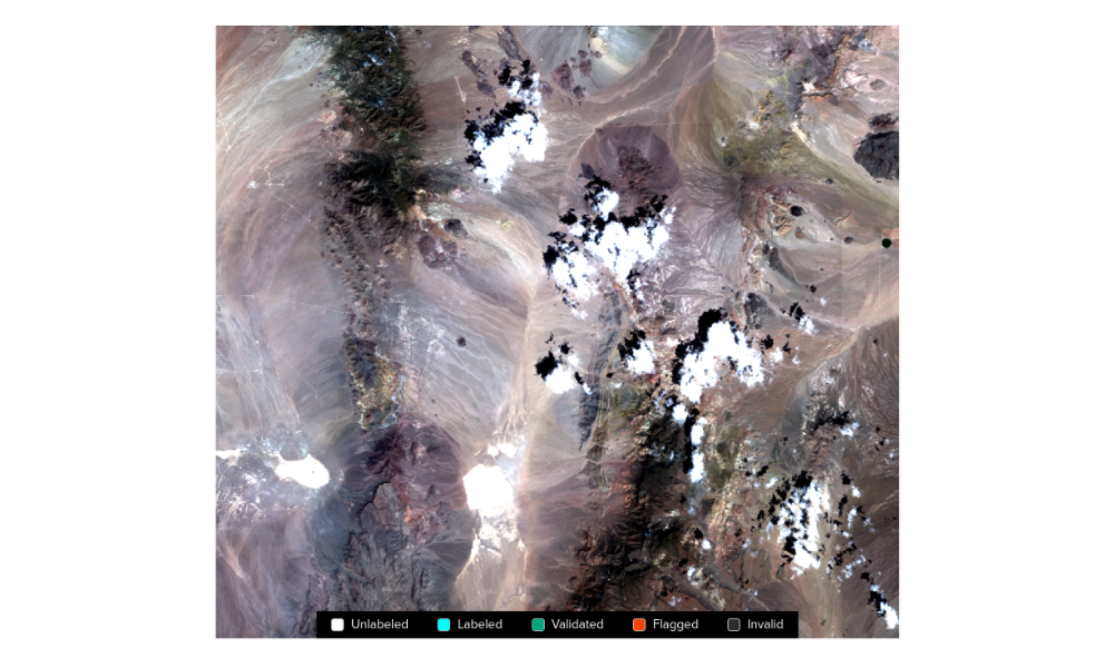
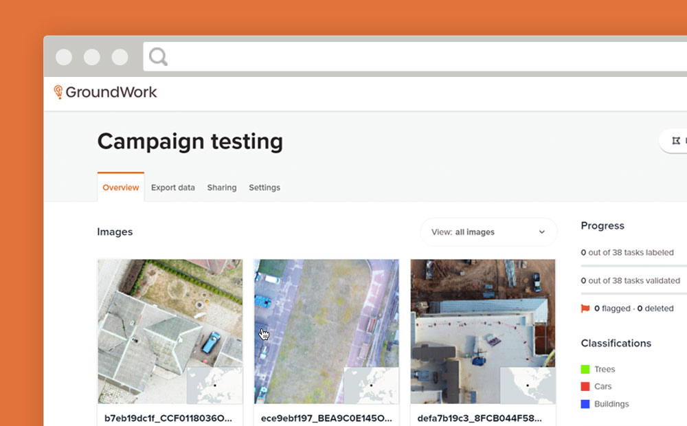
GroundWork Launches Campaigns
Need to create a training dataset that contains multiple images? GroundWork launches “Campaigns” to help you handle large datasets for machine learning.
-
Cloud Detection in Satellite Imagery
We compare the results of two machine learning models that detect clouds in Sentinel-2 satellite imagery and share pointers about models you can try for yourself.