Climate
<- Return to all blogs
-
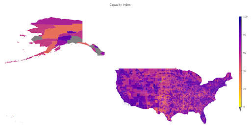
A Tool to Highlight Underfunded and Under-resourced Communities: A Peek Behind the Technical Curtain of Headwaters Economics’ Rural Capacity Index
To address the disparity in access to funding resources, we partnered with Headwaters Economics to develop the Rural Capacity Index.
-
A Tool to Highlight Underfunded and Under-resourced Communities: A Peek Behind the Technical Curtain of Headwaters Economics’ Rural Capacity Index
To address the disparity in access to funding resources, we partnered with Headwaters Economics to develop the Rural Capacity Index.
-
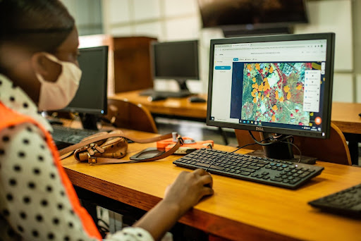
Machine Learning to Drive Urban Resilience: Mapping Tree Canopy with the World Bank
As one of seven pilot programs to address environmental issues in Africa, Azavea trained student workers to label satellite imagery using GroundWork and created a machine learning model to identify tree canopy.
-
2022 Trends in Geospatial
Azavea’s CEO Robert Cheetham provides 6 trends he foresees in geospatial this year. These predictions are grounded in Robert’s personal experience and perspective as Azavea CEO.
-
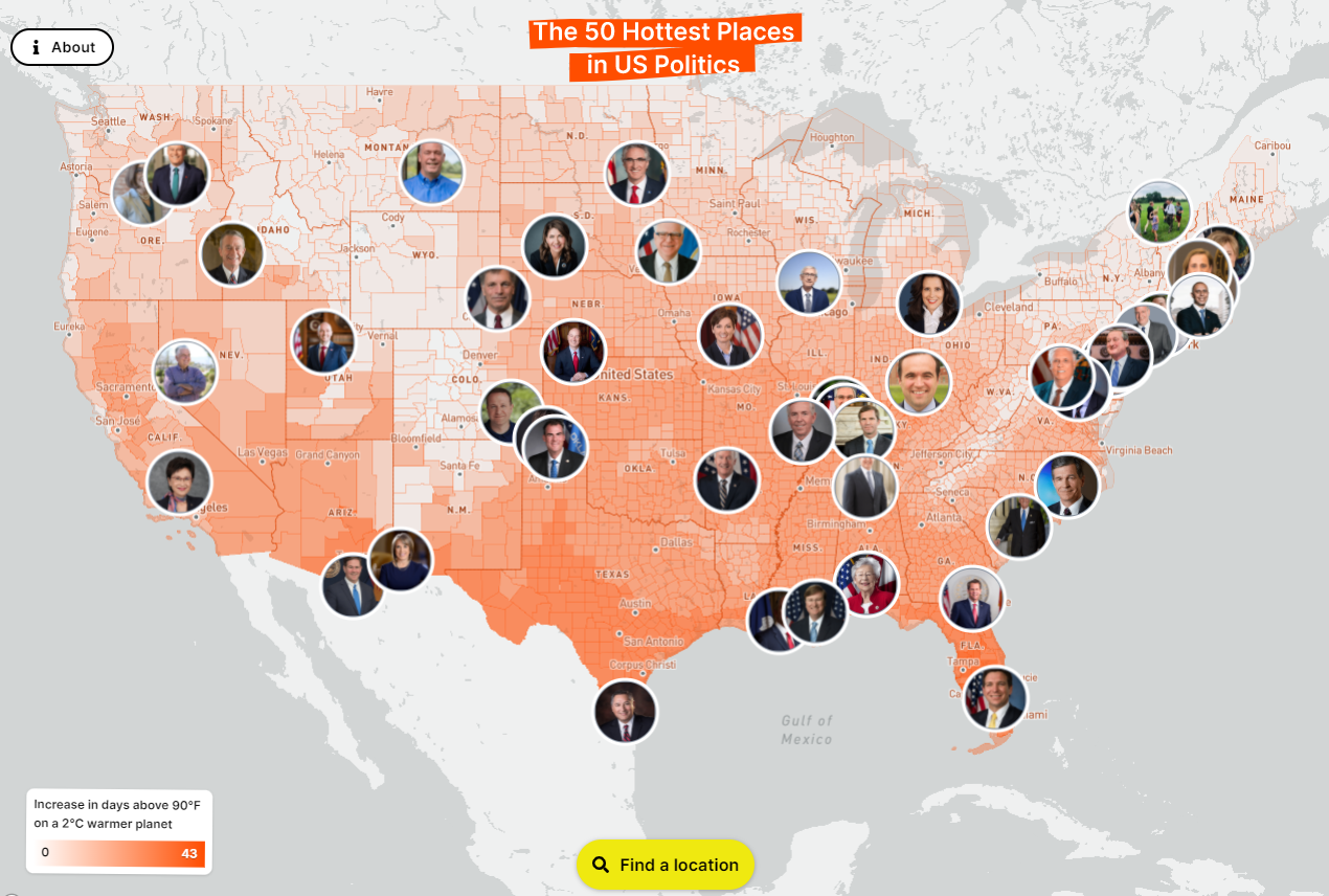
Partnering with Probable Futures to Visualize Climate Change Data and Inspire Action
With Probable Futures, Azavea designed a web-based tool that informs the public on the local impacts of climate change and drives action.
-
Improving City Transit Networks through Data and Public Policy
Using open source data and easily customizable software, Azavea worked with PeopleForBikes to improve city transit networks.
-
Top 5 Data Visualization Practices: A Case for Effectively Communicating Information About US Wildfire Risk
Data visualization is key to making data useful. We look at the example of the USDA Forest Service Wildfire Risk dashboard to highlight best practices for nonprofit and government leaders when designing compelling data visualizations.
-
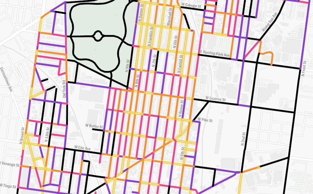
Using GIS to Guide Philadelphia’s First Neighborhood-Level Forestry Plan
The adoption of Philadelphia’s Urban Forest Strategic Plan and Hunting Park’s Forestry Plan presents a unique opportunity to address the need for equitable tree planting and the reduction of heat vulnerability, as these two plans are the city’s first cohesive attempts to prioritize and manage its urban forest.