Queryable Earth
Queryable Earth
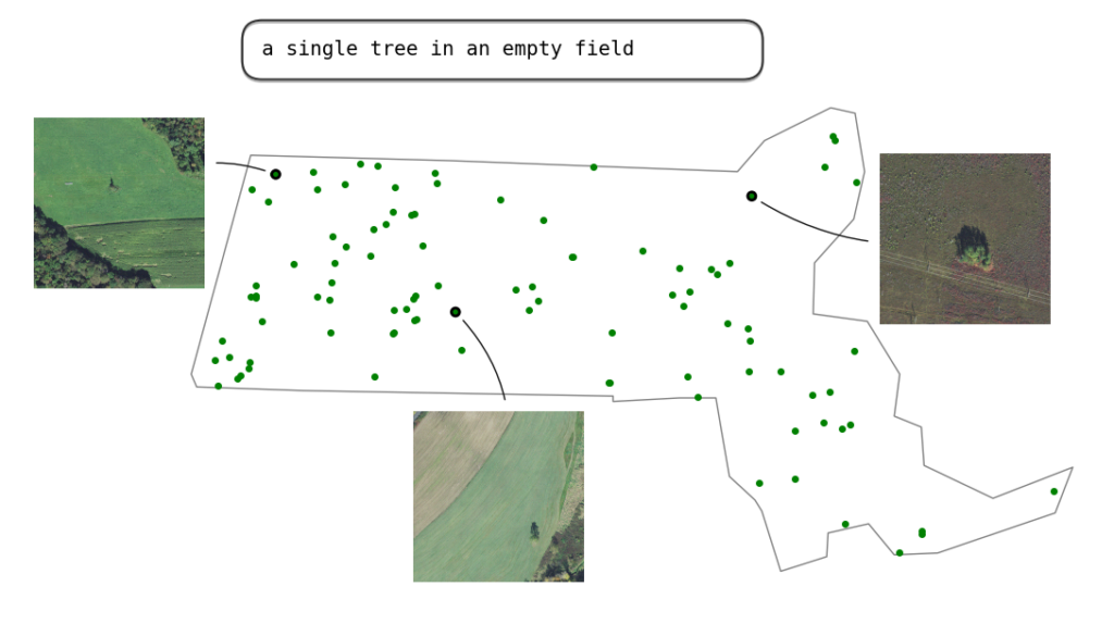
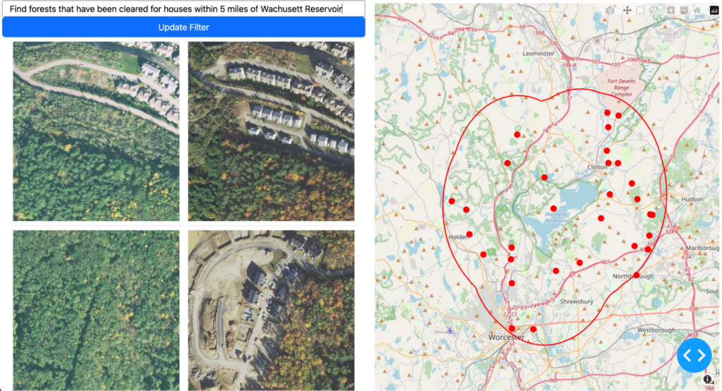
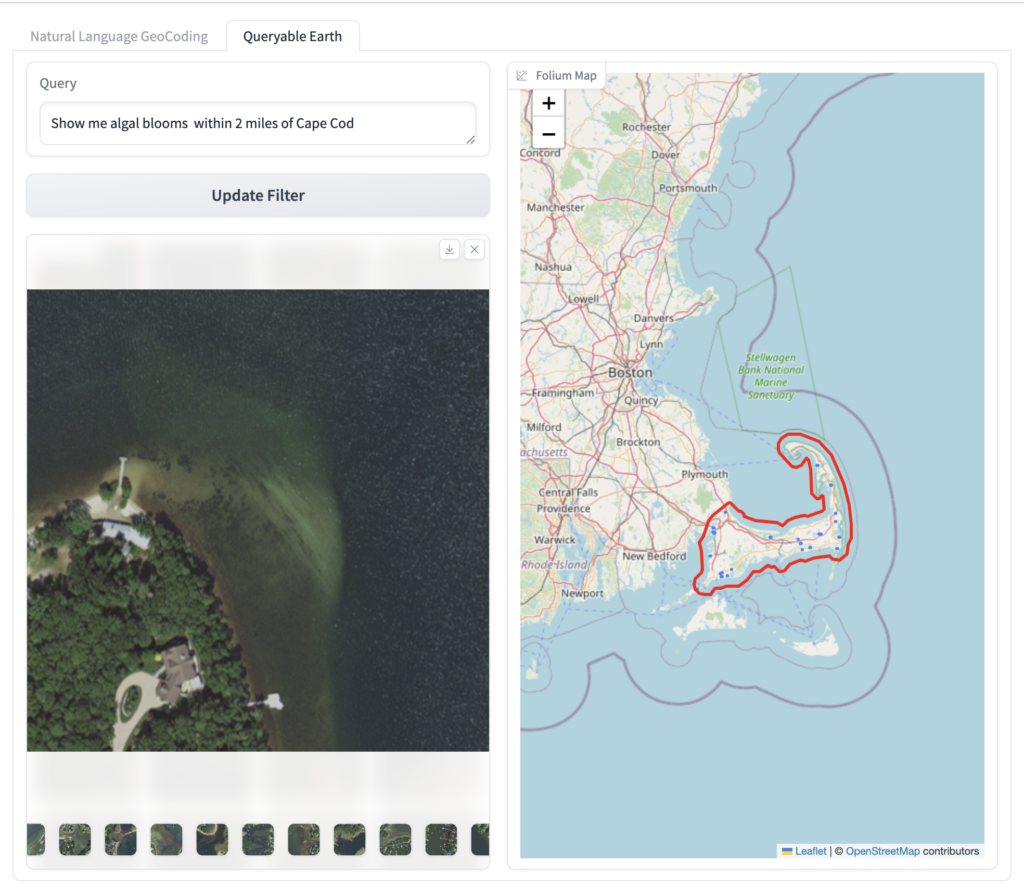
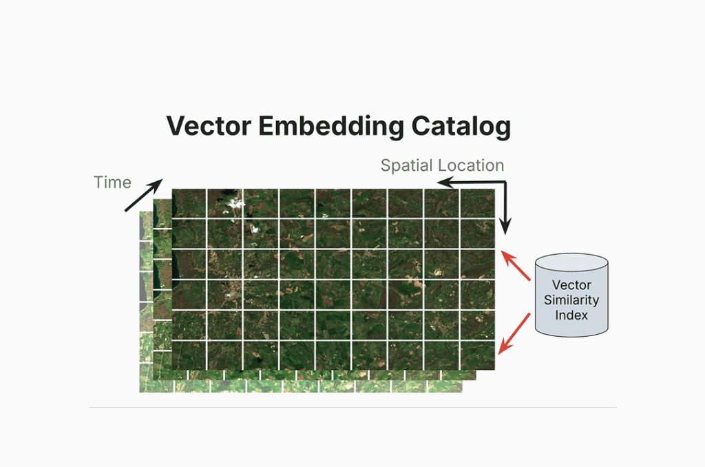
Queryable Earth demonstrates text-based search across satellite imagery using a vision-language model and LLMs. Users can search for specific infrastructure or geographic features by converting their text queries into vector embeddings that match against pre-indexed Massachusetts imagery. The system leverages the model’s ability to understand both natural language descriptions and satellite imagery features, enabling intuitive exploration of geographic data.
This site is intended to operate in a demo capacity to demonstrate Element 84âs work on natural language geocoding and Queryable Earth.
For dedicated access, please reach out to our team on our contact us page.
Check out the blog post to learn more
Explore how vision-language foundation models enable a truly queryable Earth, turning questions into geospatial insights and actionable discovery at scale.

Machine Learning
CLOUD COMPUTING
Software Engineering


