Natural Language Geocoding
Natural Language Geocoding
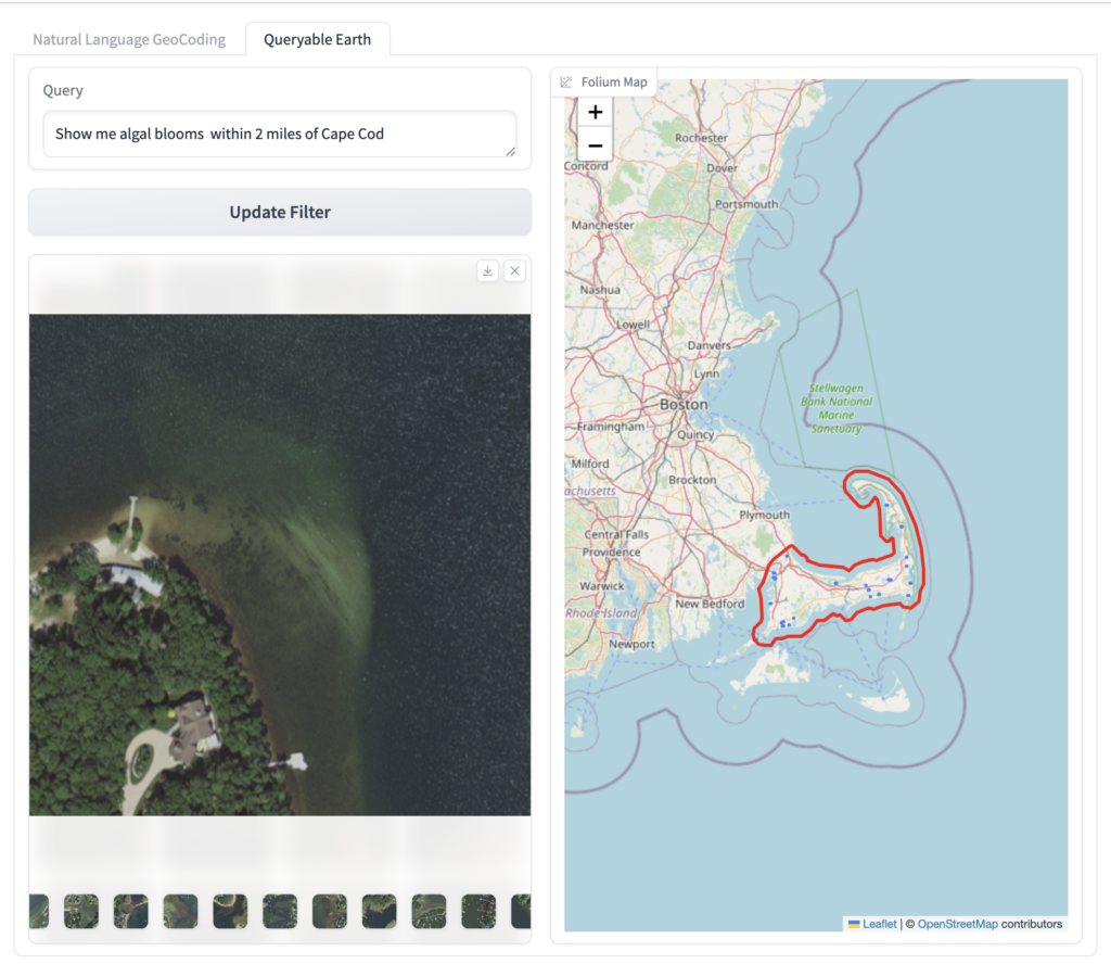
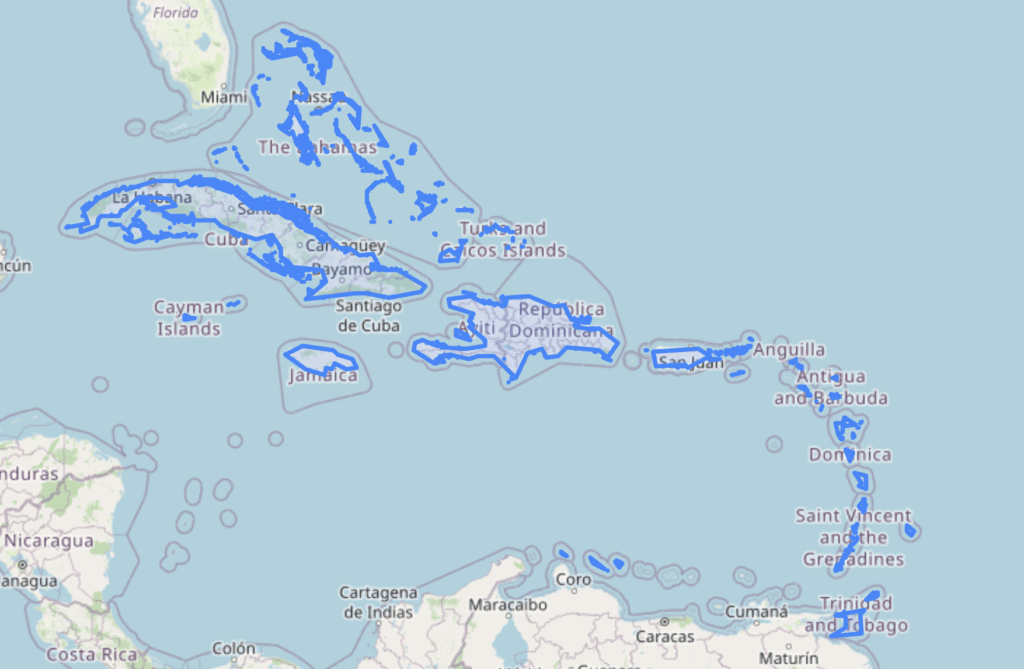
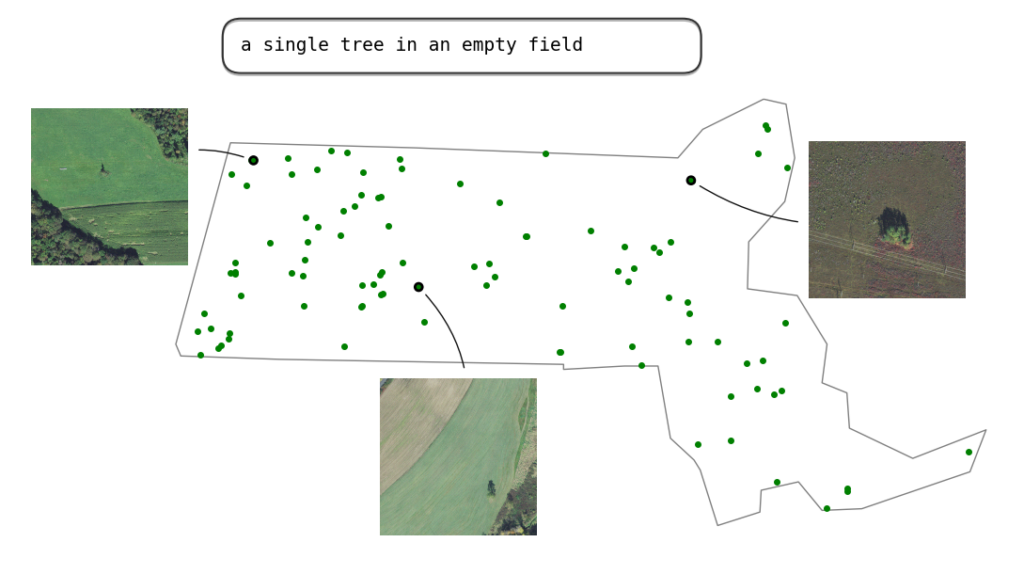
Natural Language Geocoding is an open source Python library and geocoding database that converts natural language descriptions of areas on Earth into precise geometry. Rather than limiting users to simple place names, it enables complex spatial descriptions by leveraging LLMs to generate graphs of spatial operations, including place lookups, boundary calculations, coastline analysis, unions, intersections, differences, buffers, and more.
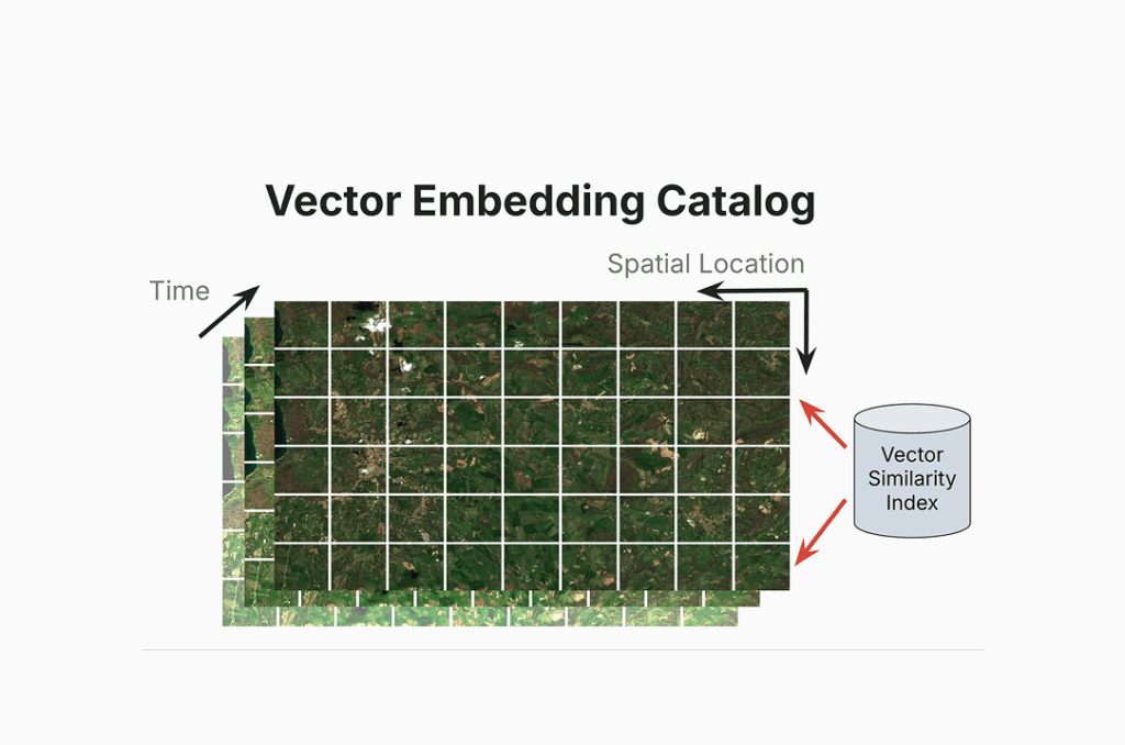
This site is intended to operate in a demo capacity to demonstrate Element 84âs work on natural language geocoding and Queryable Earth.
For dedicated access, please reach out to our team on our contact us page.
Check out the blog post to learn more
Explore how natural language geocoding resolves ambiguous place descriptions into consistent coordinates, turning location phrases into reliable spatial context for features.


