Software Engineering
<- Return to all blogs
-
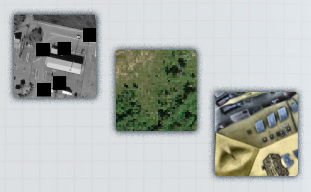
The Azavea Cloud Dataset
Azavea is releasing a dataset consisting of 32 unique Sentinel-2 tiles with cloud labels produced by humans.
-
The Azavea Cloud Dataset
Azavea is releasing a dataset consisting of 32 unique Sentinel-2 tiles with cloud labels produced by humans.
-
Dan Pilone on the Casual Space Podcast
At the end of June, Casual Space Podcast hosted by Beth Mund, published a conversation she had with Dan Pilone, Co-Founder and CTO. The conversation covered a lot of ground (pun intended!). It was impressive that Dan was the first person she’s had on her show to talk about the data and informatics side of…
-
Introducing Loam: A Client-Side GDAL Wrapper for Javascript
We’re launching a library called Loam. Loam allows GDAL to be used in client-side code in a web application. Loam wraps a version of GDAL compiled to WebAssembly and makes the GDAL API and utilities available to Javascript running from within a web browser.
-
Introducing Raster Vision 0.13
This release presents a major jump in Raster Vision’s power and flexibility. The newly added features allow for finer control of the model training as well as greater flexibility in ingesting data.
-
Getting Started with STAC APIs
STAC is a specification for enabling online search and discovery of geospatial assets. This post walks through getting started with a number of STAC APIs.
-
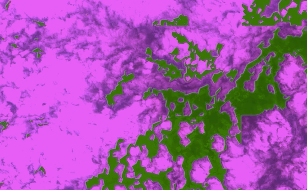
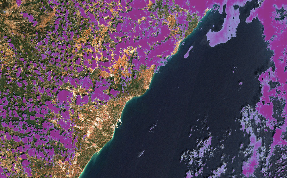
Cloud Detection in Satellite Imagery
We compare the results of two machine learning models that detect clouds in Sentinel-2 satellite imagery and share pointers about models you can try for yourself.
-
Load Testing a TMS Tile Server with k6.io
k6.io provides a flexible base for load testing with a convenient scripting language, and the quickstart docs will get you pretty far, but testing with a session of TMS requests had some unique challenges.
-
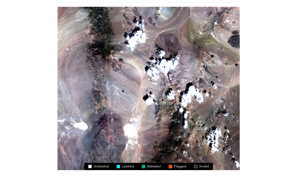
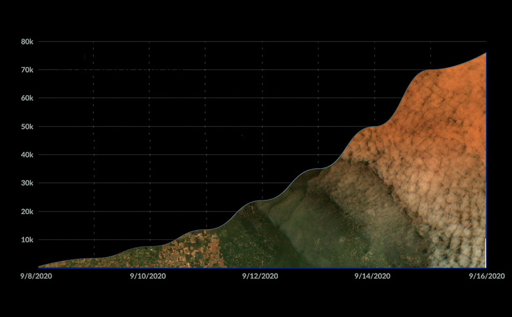
STAC Labeling Competition — Video Recap
Hear from labeling competition participants on why this diverse group of people came together, from across the world, to collaborate on a hallmark training dataset compliant with the STAC standard.
-
Run-Time Type Checking in TypeScript with io-ts
In this post, we’ll be using some advanced TypeScript libraries to help us stay type-safe even in the face of unknown inputs. In order to get the most from this post, I recommend having a basic understanding of TypeScript.
-
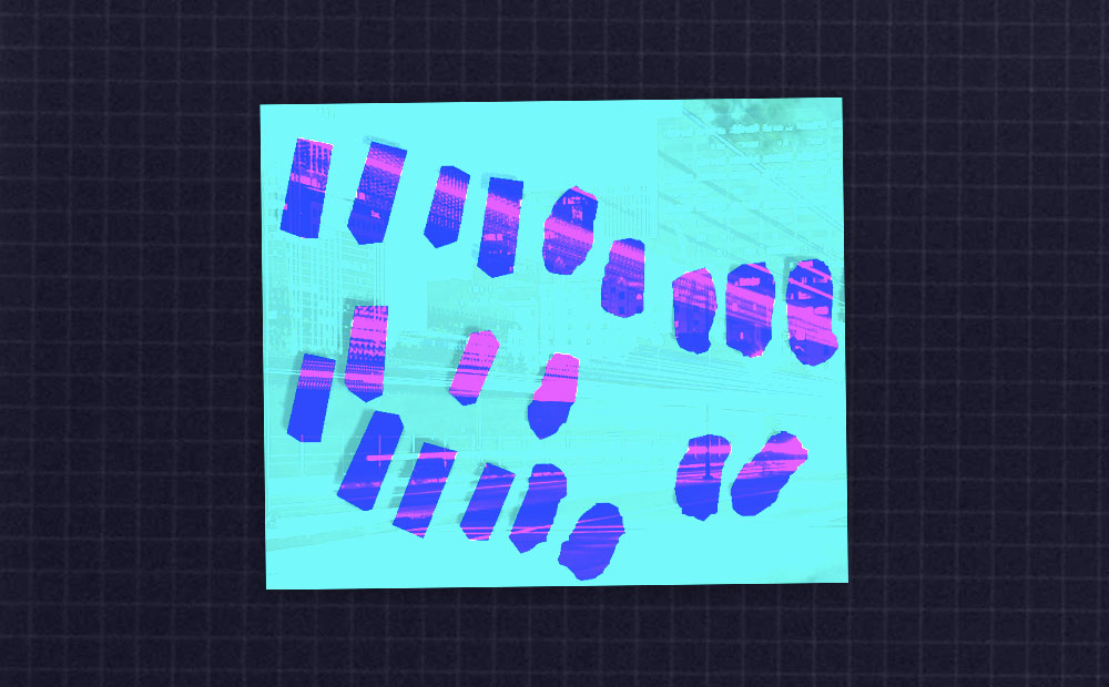
Three Lessons from Running an Imagery Labeling Competition
We joined with Radiant Earth at the Cloud Native Geospatial Sprint to run a labeling competition for non-technical folks. This resulted in over 2.3 million square kilometers mapped and lots of lessons learned.