Software Engineering
<- Return to all blogs
-
14 Years of Helping to Manage Stormwater in Philadelphia
A recap of Azavea’s partnership with the Philadelphia Water Department to support stormwater management through Philadelphia’s Green City, Clean Waters plan.
-
14 Years of Helping to Manage Stormwater in Philadelphia
A recap of Azavea’s partnership with the Philadelphia Water Department to support stormwater management through Philadelphia’s Green City, Clean Waters plan.
-
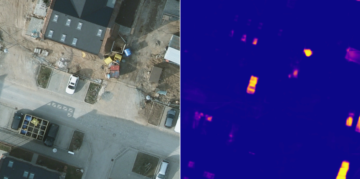
A Human-in-the-Loop Machine Learning Workflow for Geospatial Data
In this blog we demonstrate how an active learning approach can boost machine learning model performance with the human-in-the-loop workflow.
-
Benchmarking Zarr and Parquet Data Retrieval using the National Water Model (NWM) in a Cloud-native environment
In order to benchmark efficiency, we take a deep dive into Zarr and Parquet data retrieval to compare performance on various time scales.В

-
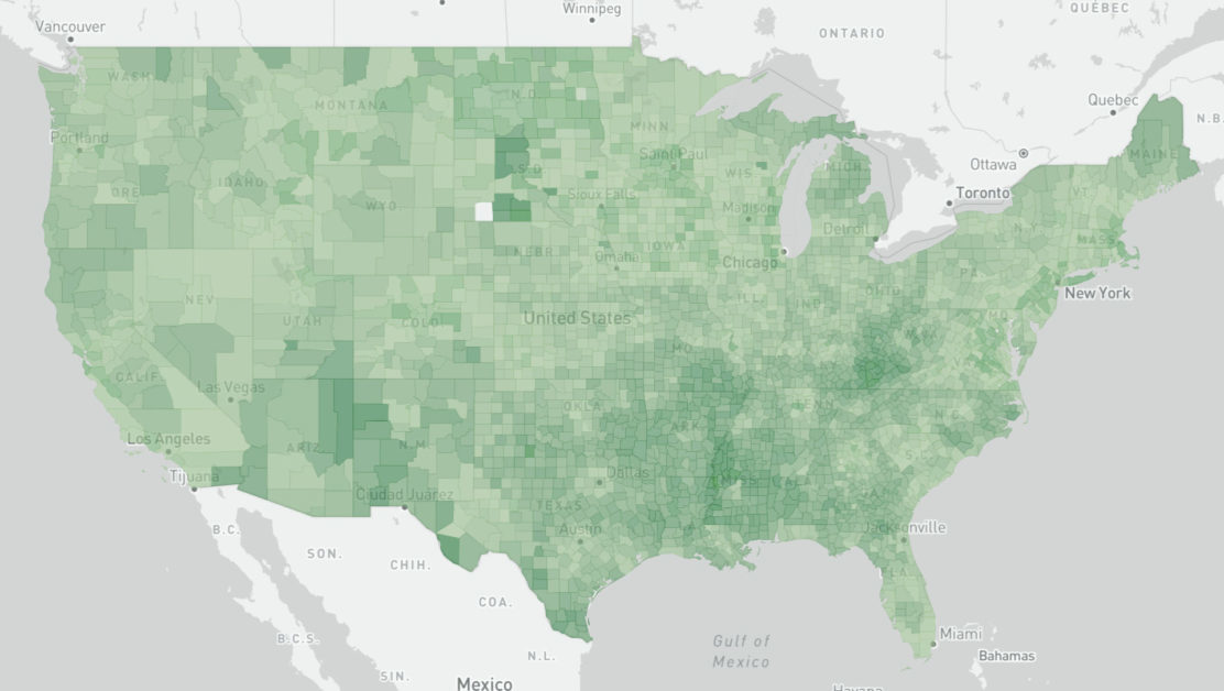
How to code-split GeoJSON layers for your MapBoxGL.js React apps
A recent project required us to implement an interactive map of the United States with a custom counties layer. This is what we learned.
-
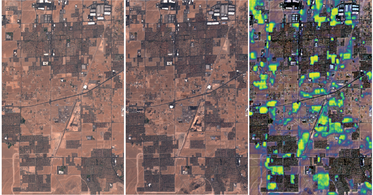
Change detection with Raster Vision
This blog explores the direct classification approach to change detection using our open-source geospatial deep learning framework, Raster Vision, and the publicly available Onera Satellite Change Detection (OSCD) dataset.
-
Cloud Optimized Formats: NetCDF-as-Zarr Optimizations and Next Steps
At Element 84 we help groups rethink how they approach technology and are particularly focused on supporting migration to the cloud. As we moved from local hard drives to the cloud, there are things we took for granted when it came to file formats. On your own hard drive reads are cheap and latency is…
-
Dan Pilone on the Minds Behind Maps Podcast
Earlier this month, Dan Pilone, our Co-founder and CEO spent a few hours with Maxime Lenormand at the Minds Behind Maps Podcast. The conversation spans a variety of topics from Dask and Xarray, game theory and open source software, through people-focused growth and Element 84’s hiring process. Dan Pilone is the CEO and co-founder of…
-
Our Top 3 Netlify Use Cases: Deciding When to Use Netlify
Netlify is a platform for web developers and designers that offers hosting and serverless backend services. Here, we provide Azavea’s top three use cases for it and its benefits for our software engineers and designers.
-
Create a Windows Application Without Windows
All of our developers are on Mac or Linux, but we can still do Windows work using .NET Core. Using this open-source technology we can develop applications for organizations that are restricted to a Windows-based environment and .NET technologies.
-
Top 7 Reasons to Make Your Excel Spreadsheet into a Web-Based Application
We’ve seen a trend in requests from potential clients. Organizations are bringing us complex, built-in-house Excel spreadsheets and asking us to convert them into web-based decision-support tools to make their data more useful, user-friendly, and secure.