Geospatial
<- Return to all blogs
-

Meet Hopeworks: the Camden nonprofit offering GIS and web development training to youth
In this post we spotlight Hopeworks, a Camden-based nonprofit offering GIS and web development training for youth.
-
Meet Hopeworks: the Camden nonprofit offering GIS and web development training to youth
In this post we spotlight Hopeworks, a Camden-based nonprofit offering GIS and web development training for youth.
-
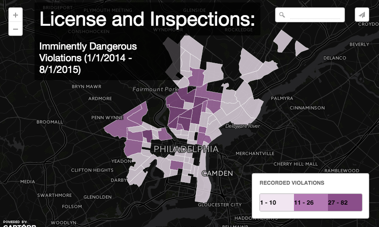
Using PostGIS to Summarize Philadelphia Inspections Data
In this post we detail our experience using PostGIS to summarize Philadelphia Inspections Data.
-
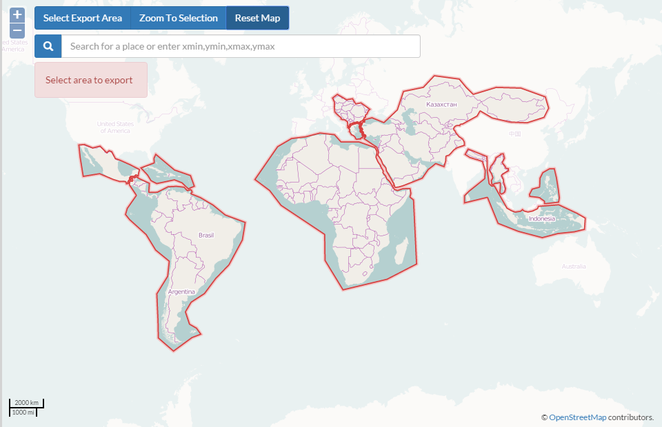
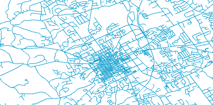
Tools for Getting Data out of OpenStreetMap and into Desktop GIS
In this post we discuss tools used to get data out of OpenStreetMap, and into Desktop GIS.
-
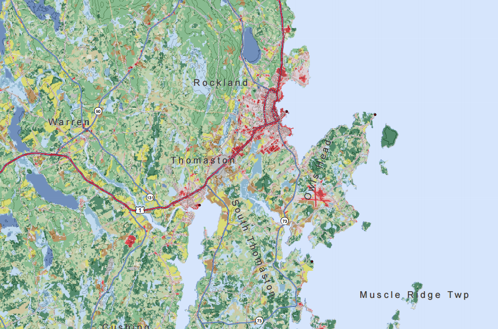
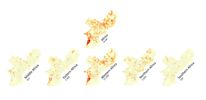
Calculating Daytime Population at the Census Tract Level for the Entire US
In this post, we calculate and discuss daytime population at the census tract level for the entire US.

-
Preparing Geographic Data for Your Next Design Project in Illustrator
This guide presents the steps to convert a GIS shapefile of streets or roads into an SVG file that can be viewed and manipulated in Adobe IllustratorВ or a similar program. В
-
Displaying Hierarchical Geographic Data with a D3 Tree, or How to Fit 23 Maps of Philadelphia on One "Page"
In this blog, we discuss our experience displaying hierarchical geographic data with a D3 tree, and how to fit multiple maps of Philadelphia on one page.
-
Creating a Tree Planting Prioritization Model in QGIS
In this post, we detail our experience creating a tree planting prioritization model in QGIS.

-
Making Custom Infowindows and Legends in CartoDB Editor
In this post we detail our experience making custom infowindows and legends in CartoDB Editor
-
Measuring Access with Network Distances
Now in its fourth year, Azavea’s Summer of Maps Program has become an important resource for non-profits and student GIS analysts alike. Non-profits receive pro bono spatial analysis work that can enhance their organizational decision-making processes and programmatic activities, while students benefit from Azavea mentors’ expertise. This year, three fellows worked on projects for six organizations that spanned…
-
How to Create An Atlas-Style Map with Many Layers in ArcGIS
In this blog we provide a few tips to manage base map features and create an atlas-style map with many layers without distracting from the information presented.