All blog posts
<- View categories
-

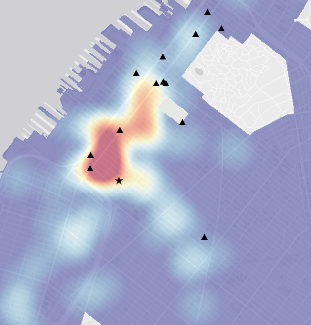
Calculating Daytime Population at the Census Tract Level for the Entire US
In this post, we calculate and discuss daytime population at the census tract level for the entire US.
-
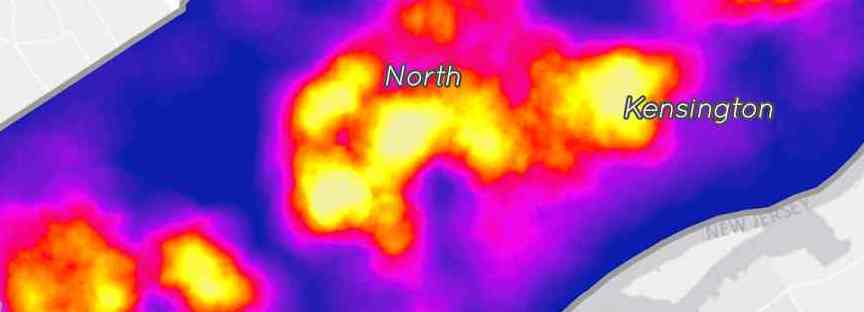
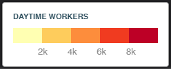
Calculating Daytime Population at the Census Tract Level for the Entire US
In this post, we calculate and discuss daytime population at the census tract level for the entire US.
-
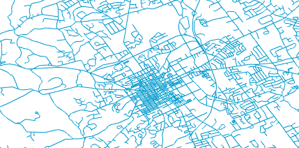
Preparing Geographic Data for Your Next Design Project in Illustrator
This guide presents the steps to convert a GIS shapefile of streets or roads into an SVG file that can be viewed and manipulated in Adobe IllustratorВ or a similar program. В
-
Functional Programming for the Functionally Challenged (Like Me) – Part 1
This is the first post in a series dedicated to presenting solutions to common challenges that developers encounter when moving from an imperative programming approach to functional programming (FP). I will present a series of problems and provide solutions in both Java and Elixir, a functional language running on the Erlang VM.
-
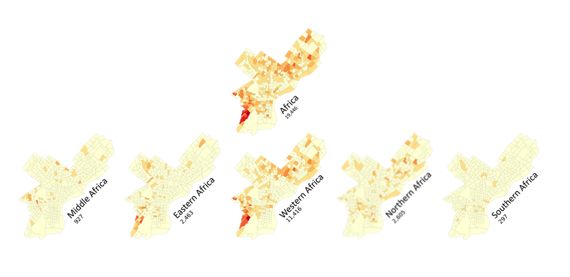
Displaying Hierarchical Geographic Data with a D3 Tree, or How to Fit 23 Maps of Philadelphia on One "Page"
In this blog, we discuss our experience displaying hierarchical geographic data with a D3 tree, and how to fit multiple maps of Philadelphia on one page.
-
Creating a Tree Planting Prioritization Model in QGIS
In this post, we detail our experience creating a tree planting prioritization model in QGIS.

-
Making Custom Infowindows and Legends in CartoDB Editor
In this post we detail our experience making custom infowindows and legends in CartoDB Editor
-
Functional Programming for the Functionally Challenged (Like Me) – Intro
By now you have probably heard all the hype about functional programming (FP) and may have even dipped your toe in the water by trying out one of the other Lisp dialects. Maybe you have experimented with some of the functional elements of Scala, Ruby, Python, or one of the newer languages.
-
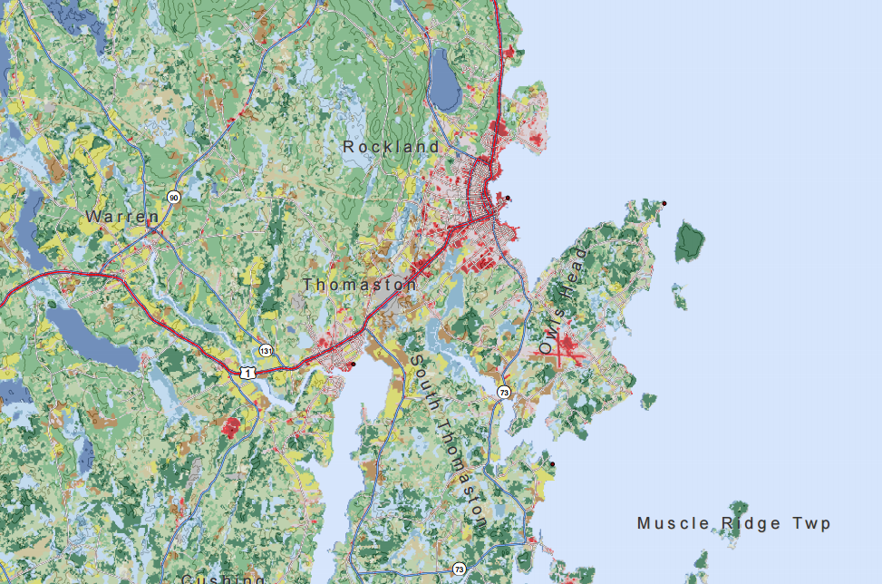
Measuring Access with Network Distances
Now in its fourth year, Azavea’s Summer of Maps Program has become an important resource for non-profits and student GIS analysts alike. Non-profits receive pro bono spatial analysis work that can enhance their organizational decision-making processes and programmatic activities, while students benefit from Azavea mentors’ expertise. This year, three fellows worked on projects for six organizations that spanned…
-
How to Create An Atlas-Style Map with Many Layers in ArcGIS
In this blog we provide a few tips to manage base map features and create an atlas-style map with many layers without distracting from the information presented.
-
Mapping Substandard Housing with Philadelphia’s License and Inspection Data
In this blog post we discuss our work with The Legal Clinic for the Disabled (LCD) and our efforts to help them compare their client intake records with publicly-available geographic data in order to explore the relationship between poverty, disability, and unsafe or substandard housing conditions.