All blog posts
<- View categories
-
Leveraging Node.js, D3.js, and HTML Canvas for Scalable Infographics
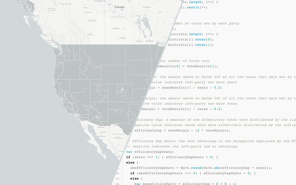
In Part 3 of our 3-part series on Azavea’s redistricting and gerrymandering work, we look at the technical process behind developing infographics for efficiency gap reports. We made strategic use of JavaScript visual tools and Node.js as a scripting language in our design and production of 50 infographics about the efficiency gap, automatically creating one for…
-
Leveraging Node.js, D3.js, and HTML Canvas for Scalable Infographics
In Part 3 of our 3-part series on Azavea’s redistricting and gerrymandering work, we look at the technical process behind developing infographics for efficiency gap reports. We made strategic use of JavaScript visual tools and Node.js as a scripting language in our design and production of 50 infographics about the efficiency gap, automatically creating one for…
-
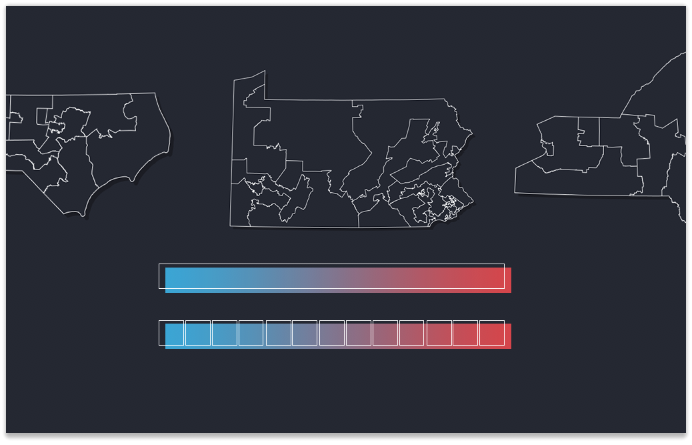
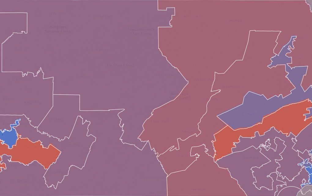
The Most Gerrymandered States Ranked by Efficiency Gap and Seat Advantage
Learn about our methodology for ranking the efficiency gap for each Congressional delegation in all 50 states and visualize the results.
-
The Evolution of Our Redistricting and Gerrymandering Work
In part 1 of our series on Azavea’s redistricting and gerrymandering work, we look at the history of our involvement in this space and what we’re currently working on. Gerrymandering, compactness, contiguity, the efficiency gap. These are the kinds of words that make a lot of redistricting nerds excited these days. Rarely does the application…
-
Reading and Visualizing NetCDF Climate Data with GeoTrellis
This blog postВ contains an example project that demonstrates how to read NetCDF climate projection data from S3 or a local filesystem into a Spark/Scala program using NetCDF JavaВ and how to manipulate the data using GeoTrellis. We are interested in reading datasets stored as NetCDF because it is a common format for storing large, global climate…
-
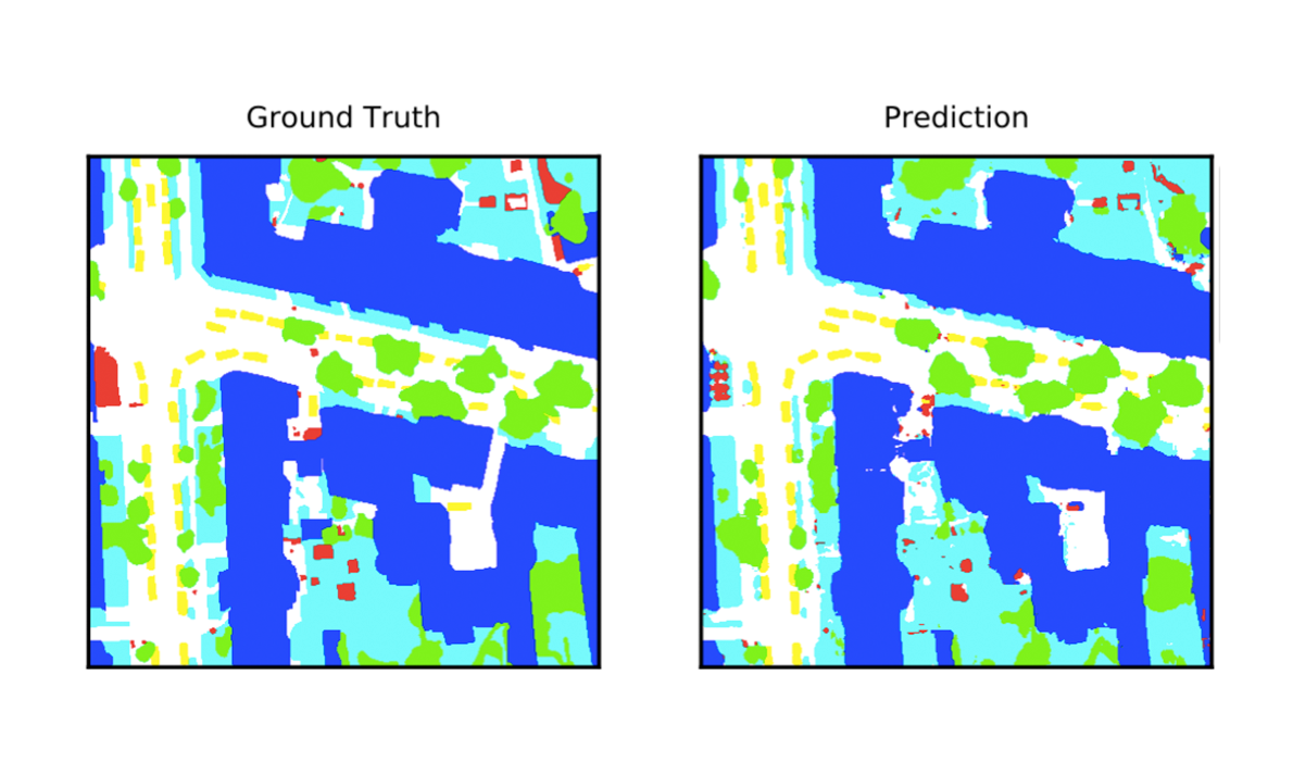
Deep Learning for Semantic Segmentation of Aerial and Satellite Imagery
This post describes how to use deep learning to do semantic segmentation on aerial and satellite imagery, experiments on the ISPRS Potsdam dataset, and how to visualize model predictions on a map.
-
Philadelphia Plans to Prioritize Data Nominated by Nonprofits During OpenDataVote
OpenDataVote – a cooperative effort between Azavea, Tech Impact, Technical.ly Media, Code for Philly, the City of Philadelphia and others – gives social service and advocacy groups a platform to nominate data sets that are not currently openly available but which they need in order to support their mission, and the public an opportunity to…

-
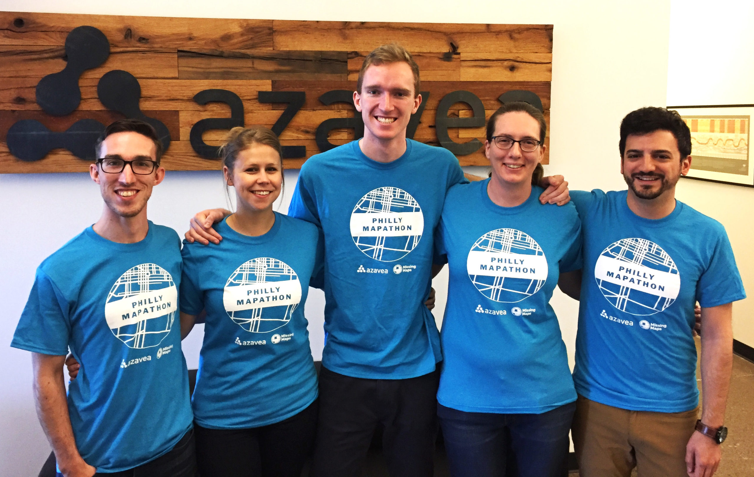
Volunteers Put 9,000 Buildings on a Map Used to Plan Malaria Eradication Efforts
More than 65 volunteers gathered for a 4-hour marathon mapping session – the Philly Mapathon – during PhillyTechWeek to put vulnerable communities on the map. The data that was recorded during the event will be used by NGOs like Humanitarian OpenStreetMap and the Clinton Health Access Initiative (CHAI) to plan malaria eradication interventions in Zimbabwe. Charlotte…
-
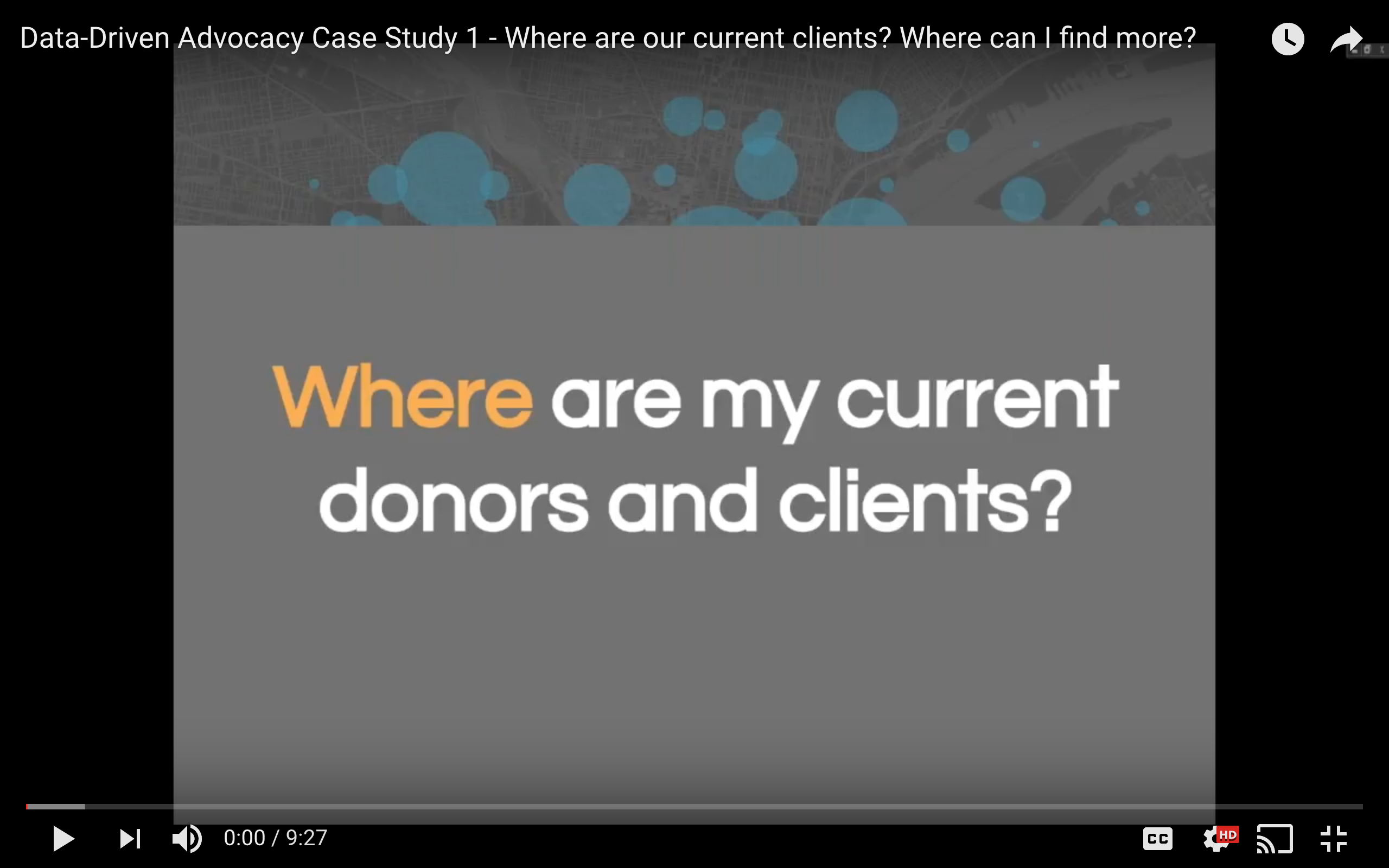
Case Study: How to Map Nonprofit Donors and Clients
Our Data Analytics Team produced a webinar series on Data-Driven Advocacy for Nonprofits. The 3rd webinar, 5 questions you can answer with maps and data visualizations, is now split into 5 short videos, one on each question. This post covers the first video, including details of a case study. Where are my current clients and donors? Where can…
-
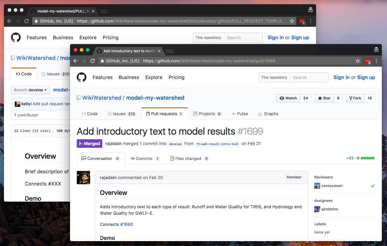
GitHub Pull Request Template Workflow
Being a professional services team, we at Civic Apps work on a number of projects in parallel in various stages of completion. They range in age (brand new projects to 6 year old legacy codebases), size (from simple single page apps to complex multi-tier systems), and technology (JavaScript, Python, Scala, C#). We use a number…
-
Release of Important City Data On The Line in OpenDataVote
OpenDataVoteВ is a cooperative effort between many partners includingВ Azavea, Tech Impact, Technical.ly Media, Code for Philly, the City of Philadelphia and others. This initiative gives the public an opportunity to vote for the data sets they believe their government should release as open data. The public voting stage of OpenDataVote continues until May 1 at 5pm…