Zarr
<- Return to all blogs
-
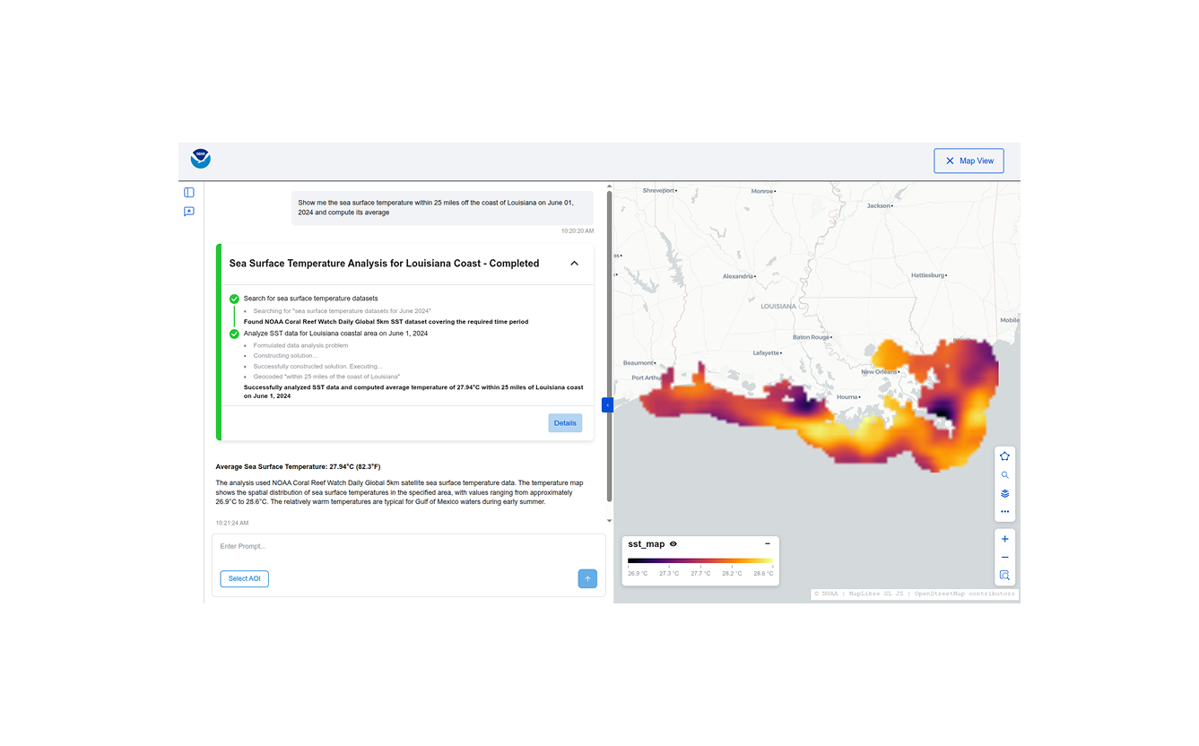
Building Conversational Interfaces for Querying and Analyzing Geospatial Data
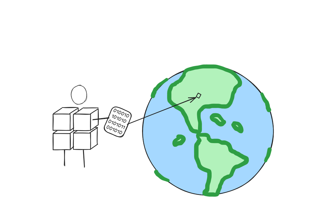
NOAA maintains thousands of datasets of various kinds (remote sensing, in-situ, derived etc.) across multiple domains (climate, weather, ecology, etc.) consumed by a wide variety of users (scientists, engineers, urban planners, etc.), but discovering, accessing, and using these datasets remains a significant challenge. Recent developments in cloud-native geospatial technologies and standards have made geospatial data…
-
Building Conversational Interfaces for Querying and Analyzing Geospatial Data
NOAA maintains thousands of datasets of various kinds (remote sensing, in-situ, derived etc.) across multiple domains (climate, weather, ecology, etc.) consumed by a wide variety of users (scientists, engineers, urban planners, etc.), but discovering, accessing, and using these datasets remains a significant challenge. Recent developments in cloud-native geospatial technologies and standards have made geospatial data…
-
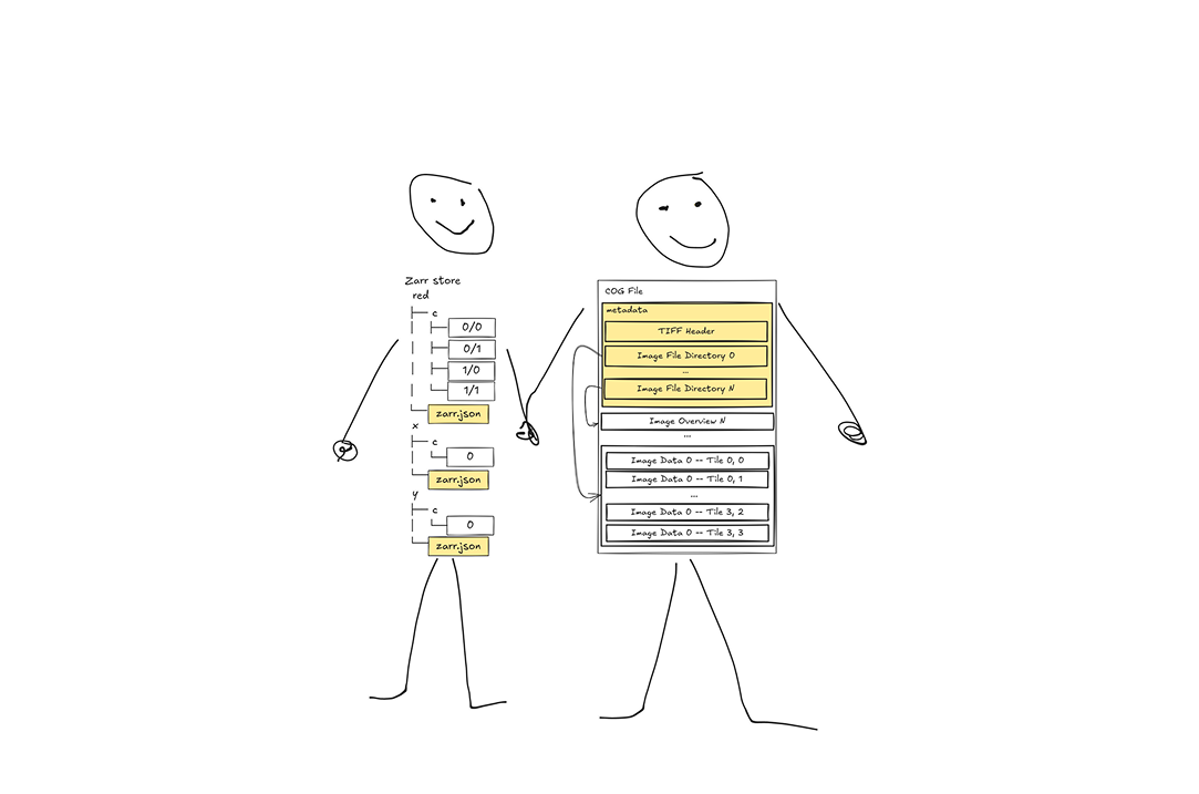
Metadata makes the data format: metadata storage and representation across array formats
In this continuation of our recent raster data format blog series we discuss metadata: how do COG and Zarr represent metadata and how can geospatial coordinate metadata be represented across different formats? Where should metadata be stored? and more!
-
Chunks and Chunkability: An Origin Story
If you accept that we are living through the Tyranny of the Chunk, then you might be wondering how we got to this place. Who created the first chunks and what was their motivation? As we explore the history of different data formats we’ll see recurring patterns of thinking around how much information to consolidate…

-
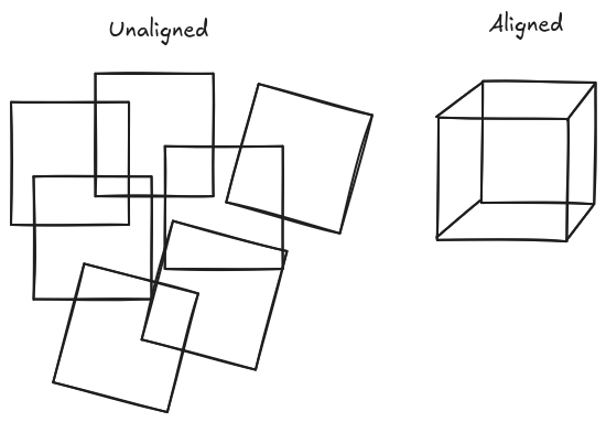
Is Zarr the new COG?
Just to be upfront and get it out there: no. Despite what you may have heard, Zarr is not (yet) a replacement for the Cloud-Optimized GeoTIFF (COG) format. Zarr is great for Level 3 and Level 4 n-dimensional data cubes. COG is great for Level 1, Level 2, and other non-data-cube rasters. Enthusiastic Zarr users…
-
Zarr + STAC
As part of our work writing a STAC + Zarr Report for the Cloud Optimized Geospatial Formats Guide our team is exploring the partially overlapping goals of STAC and Zarr and offering suggestions for how to use them together. This effort is particularly relevant currently due to several recent developments in the space that we…