Summer of Maps
<- Return to all blogs
-
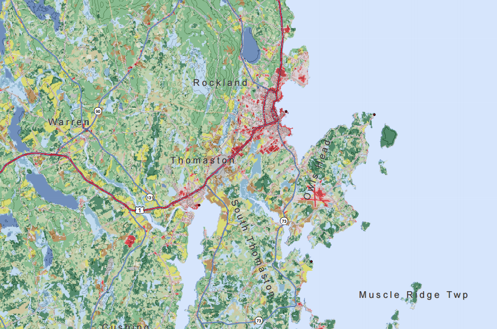
How to Create An Atlas-Style Map with Many Layers in ArcGIS
In this blog we provide a few tips to manage base map features and create an atlas-style map with many layers without distracting from the information presented.
-
How to Create An Atlas-Style Map with Many Layers in ArcGIS
In this blog we provide a few tips to manage base map features and create an atlas-style map with many layers without distracting from the information presented.
-
Mapping Substandard Housing with Philadelphia’s License and Inspection Data
In this blog post we discuss our work with The Legal Clinic for the Disabled (LCD) and our efforts to help them compare their client intake records with publicly-available geographic data in order to explore the relationship between poverty, disability, and unsafe or substandard housing conditions.
-
Lessons in Cartography
Cartography tips and tricks related to color palates, labels, data frames, and map extents.

-
Evolution of GIS Attribute Data from Collection to Cleaning
Step by step guide to prepping GIS attribute data, from data collection to cleaning, in the context of an Azavea Summer of Maps project completed for the Pennsylvania Horticultural Society.

-
How to Manipulate Big Data for Use in ArcMap
How to use the open source program PGAdmin to prep large data sets for use in ArcMap.

-
Using Raster Analysis in ArcMap to Create a Normalized Weighted Risk Index
Learn how to conduct a raster analysis in Esri Arcmap to create a normalized weighted risk index, explained in the context of an Azavea Summer of Maps project completed for the Delaware Valley Association for the Education of Young Children.
