SDGs
<- Return to all blogs
-

Making Gender Data Actionable
Azavea partnered with Facebook and Ladysmith to make an engaging platform that makes data from a massive gender survey actionable.
-
Making Gender Data Actionable
Azavea partnered with Facebook and Ladysmith to make an engaging platform that makes data from a massive gender survey actionable.
-
How Can OpenStreetMap be Used to Track UN Sustainable Development Goals?
We learned that OpenStreetMap is a great source of data for tracking SDG indicator 11.7.1. OSM provides data on public open or green spaces in cities that is similar in quality to more “official” sources like municipal Open Data portals, and collecting the data from OSM requires relatively little effort.
-
Calculating Rural Road Access Globally Using Open Datasets
We used three open datasets to calculate the number of people in the world who do not have sufficient access to a road in an effort to move forward the conversation on the Rural Access Indicator (RAI).
-
Ethical Machine Learning for Disaster Relief: Avoiding the Second Disaster
Machine learning on satellite imagery is revolutionizing disaster relief. What does ethical machine learning mean in this field?

-
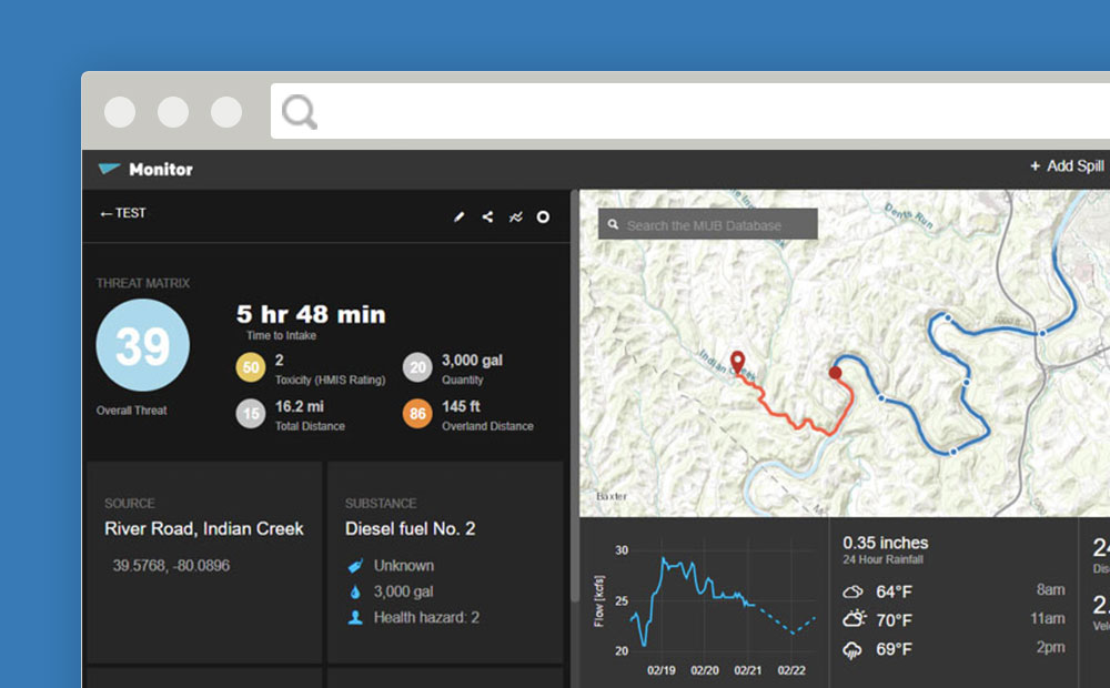
MUB Monitor: Helping Water Utilities Track and Respond to Upstream Threats
In partnership with Downstream Strategies, we created MUB Monitor – a comprehensive GIS-based tool that helps water professionals track spills, assess watershed threats, and make informed decisions.
-
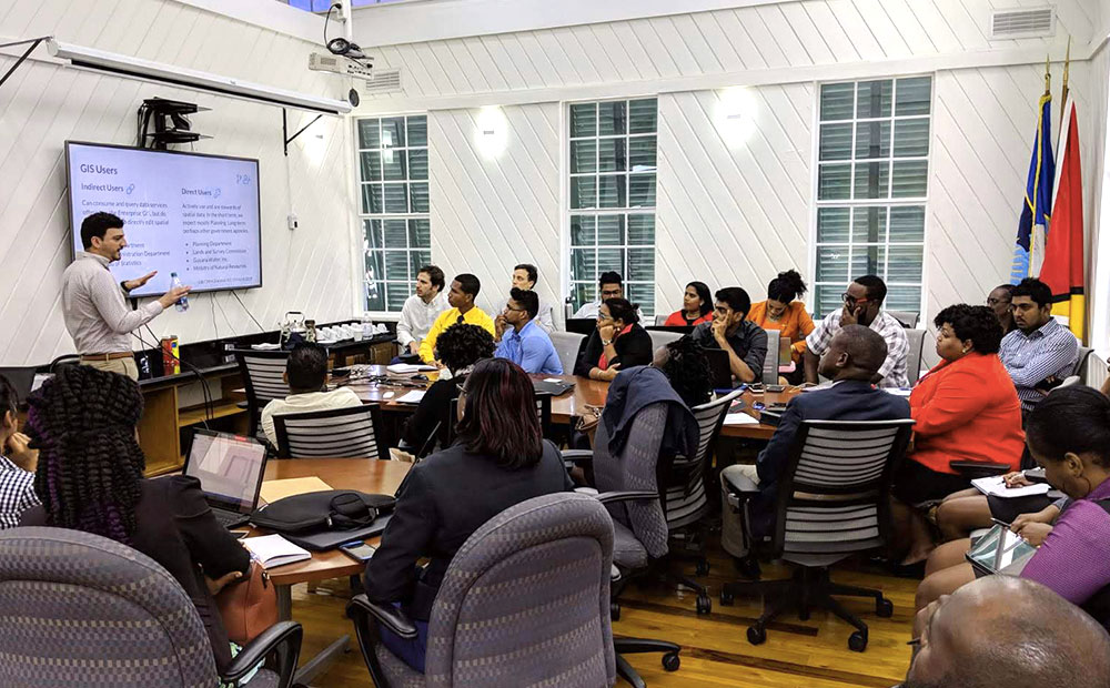
Developing Countries, Capacity Building, and SDGs
Utilizing earth imagery to achieve all 17 UN SDGs by 2030 will take considerate effort. In order to do this effectively, we must include training and capacity building in our solutions.
-
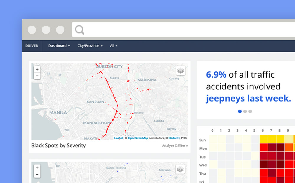
Reducing Road Crashes with DRIVER
Over 1.3 million people are killed on the world’s roads every year. More than 30 million suffer life-changing injuries. Based on current trauma levels an estimated 400 million people will be killed or injured between now and 2030. Source: IDB Road crashes are a leading cause of death globally, but these deaths occur mostly in…