Open Data
<- Return to all blogs
-
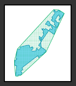
The Evolution of Our Redistricting and Gerrymandering Work
In part 1 of our series on Azavea’s redistricting and gerrymandering work, we look at the history of our involvement in this space and what we’re currently working on. Gerrymandering, compactness, contiguity, the efficiency gap. These are the kinds of words that make a lot of redistricting nerds excited these days. Rarely does the application…
-
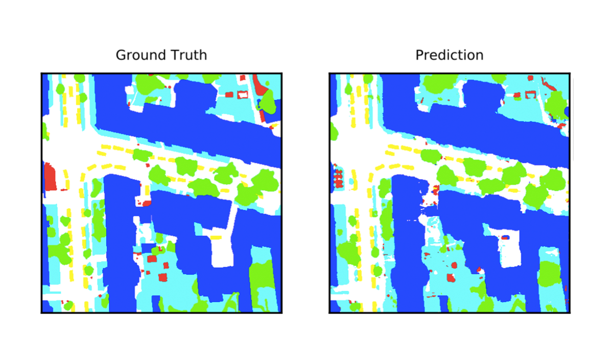
Deep Learning for Semantic Segmentation of Aerial and Satellite Imagery
This post describes how to use deep learning to do semantic segmentation on aerial and satellite imagery, experiments on the ISPRS Potsdam dataset, and how to visualize model predictions on a map.
-
Philadelphia Plans to Prioritize Data Nominated by Nonprofits During OpenDataVote
OpenDataVote – a cooperative effort between Azavea, Tech Impact, Technical.ly Media, Code for Philly, the City of Philadelphia and others – gives social service and advocacy groups a platform to nominate data sets that are not currently openly available but which they need in order to support their mission, and the public an opportunity to…

-
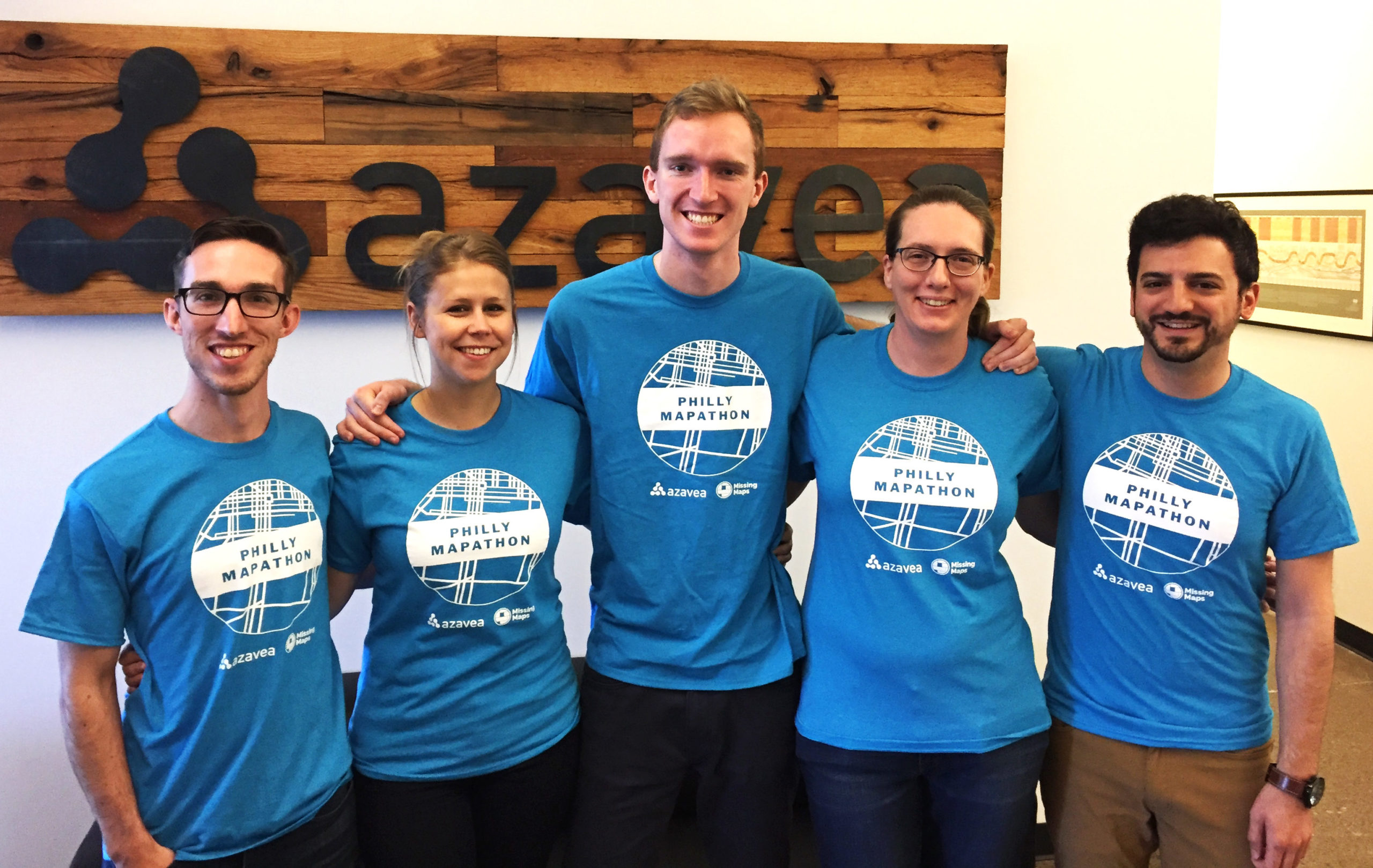
Volunteers Put 9,000 Buildings on a Map Used to Plan Malaria Eradication Efforts
More than 65 volunteers gathered for a 4-hour marathon mapping session – the Philly Mapathon – during PhillyTechWeek to put vulnerable communities on the map. The data that was recorded during the event will be used by NGOs like Humanitarian OpenStreetMap and the Clinton Health Access Initiative (CHAI) to plan malaria eradication interventions in Zimbabwe. Charlotte…
-
Release of Important City Data On The Line in OpenDataVote
OpenDataVoteВ is a cooperative effort between many partners includingВ Azavea, Tech Impact, Technical.ly Media, Code for Philly, the City of Philadelphia and others. This initiative gives the public an opportunity to vote for the data sets they believe their government should release as open data. The public voting stage of OpenDataVote continues until May 1 at 5pm…

-
A World’s Worth of VectorTiles
This post outlines our general approach, our current status, and some of the roadbumps we’ve hit along the way while developing a free-and-open-source pipeline in Mapbox VectorTiles.
-
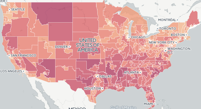
2015 Fatal Crash Data by Congressional District Released
In this post, we take a look at the geography of fatal crashes by Congressional district in the U.S in response to the recent release of the 2015 Traffic Fatalities data and call to action.
-
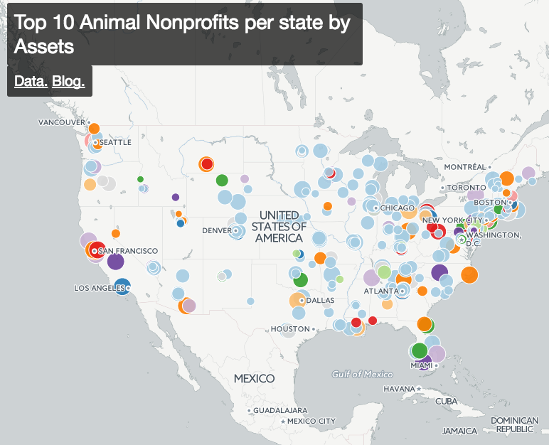
Getting Started Exploring All 1.5 Million Nonprofits in the US
In this post we discuss how to find and categorize data about all of the 1.5 million US nonprofits.
-
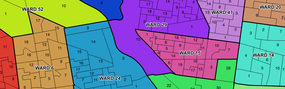
Updated Philadelphia Political Ward Data on OpenDataPhilly
In this post, we discuss our findings after compiling historic Philadelphia political ward data and ward division data from different sources.
-
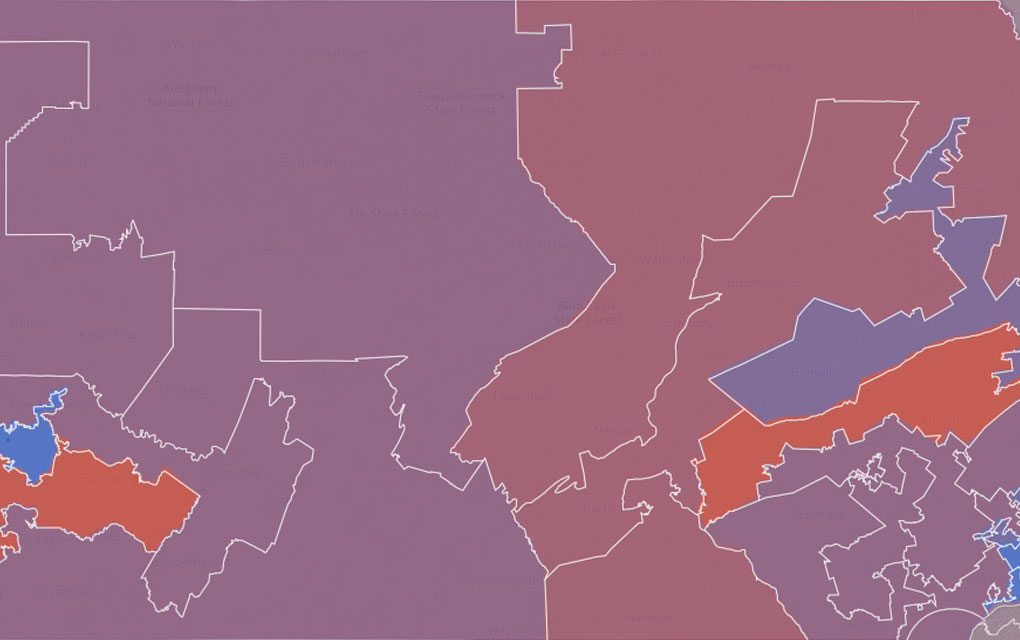
Measuring District Compactness in PostGIS
In this blog we discuss strategies for measuring district compactness in PostGIS.