Open Data
<- Return to all blogs
-
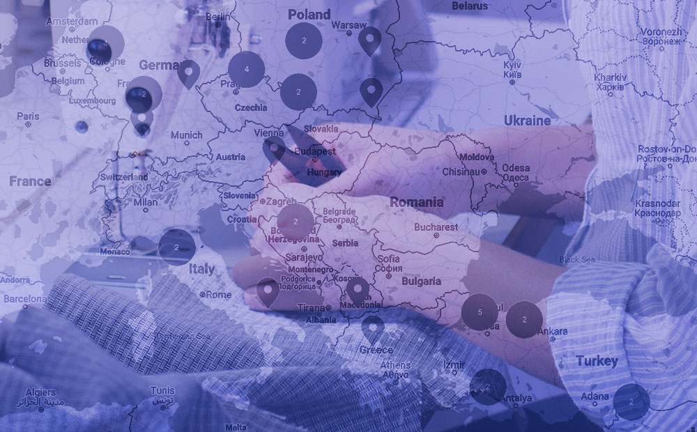
How We Built a National Hospital Dataset for Coronavirus Relief
We pulled data from disparate hospital data sources to create a comprehensive national dataset of the hospital system for the COVID-19 response, using geocoding, proximity matching, and fuzzy string matching.
-
How We Built a National Hospital Dataset for Coronavirus Relief
We pulled data from disparate hospital data sources to create a comprehensive national dataset of the hospital system for the COVID-19 response, using geocoding, proximity matching, and fuzzy string matching.
-
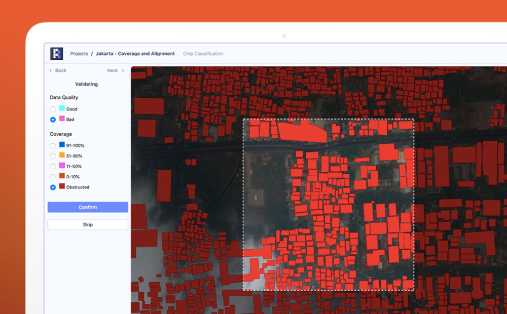
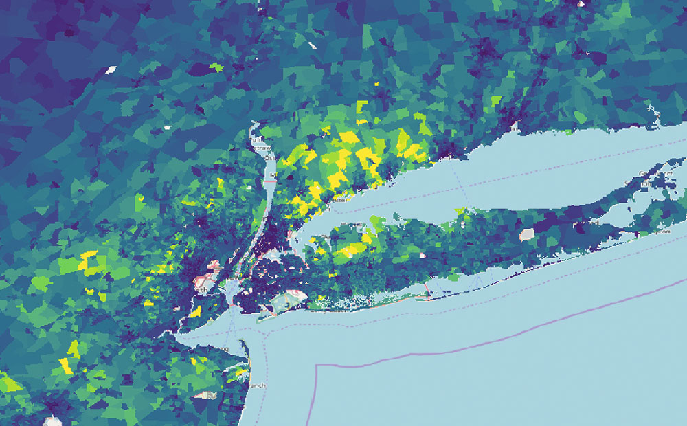
An Introduction to Satellite Imagery and Machine Learning
Today, the availability of satellite imagery still far outpaces our capacity to analyze it, but machine learning and tools like Raster Vision are helping.
-
STAC: Creating an Ecosystem of SpatioTemporal Assets
STAC is creating an ecosystem of interoperable spatiotemporal assets. Learn how Azavea has contibuted and about future steps for the specification.

-
Using the Dedupe Machine Learning Library for Cleaning and Matching Data
To deal with issues of apparel facility list data quality and scale quickly and efficiently we need a machine learning tool that can capture the knowledge of domain experts, find commonalities in jumbled text, and confidently compare large lists without the need to compare each individual entry.
-
Connecting Data and People with the Open Apparel Registry
Since its launch on March 28, the Open Apparel Registry (OAR) has grown to include over 18,300 facilities in 92 countries. We’ve already heard of a few fascinating use cases where data from the OAR contributed to decision making by brands and facilities.
-
Introducing WMS and WCS Support for GeoTrellis and Raster Foundry
Raster Foundry and GeoTrellis now support WMS and WCS standards, enabling streamlined workflows that utilize multiple data sources.
-
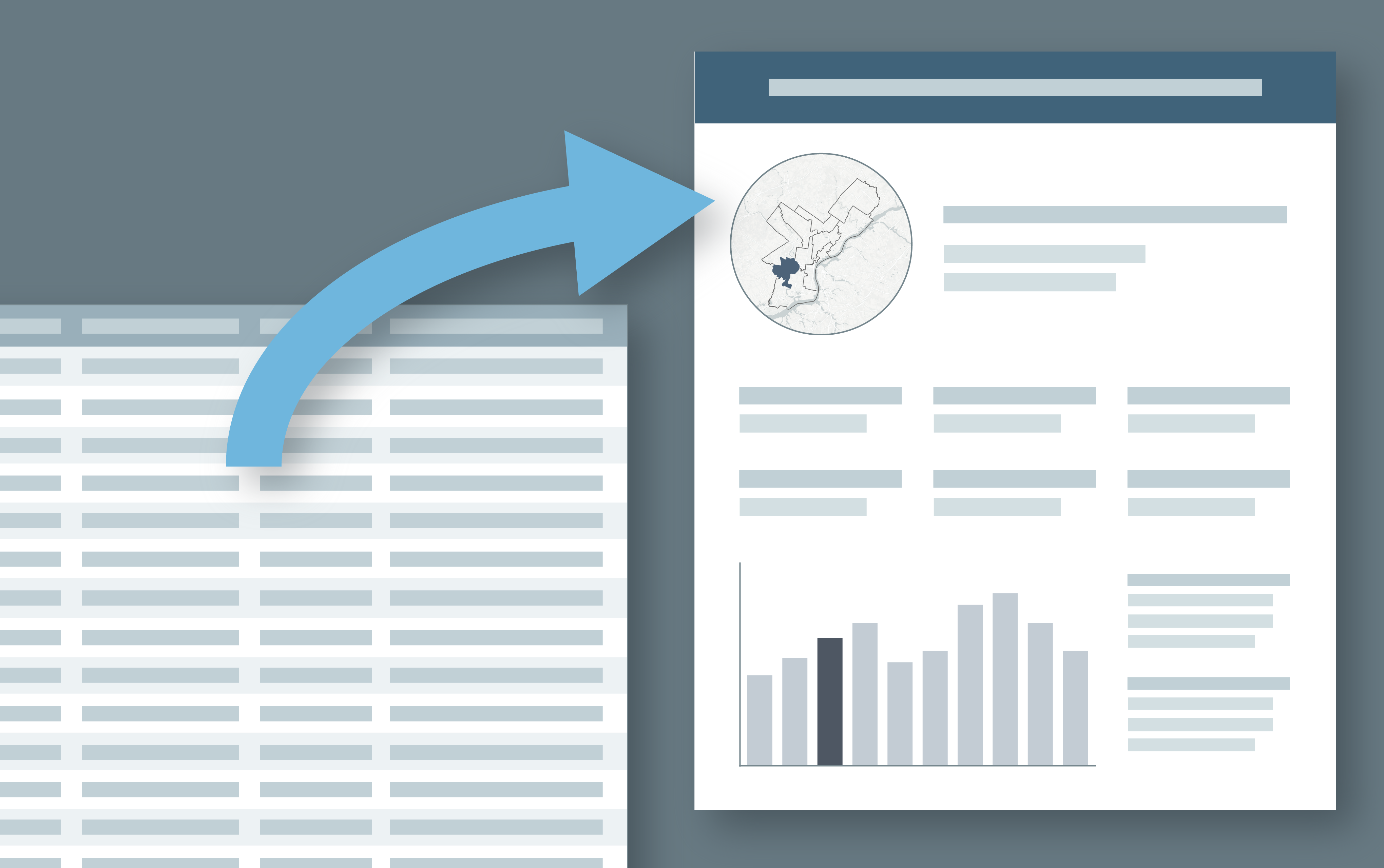
Scoring Philadelphia’s City Council Districts for Children’s Health and Well-being
Scoring Philadelphia City Council districts on assets and risks using a weighted spatial analysis model in R and Python.

-
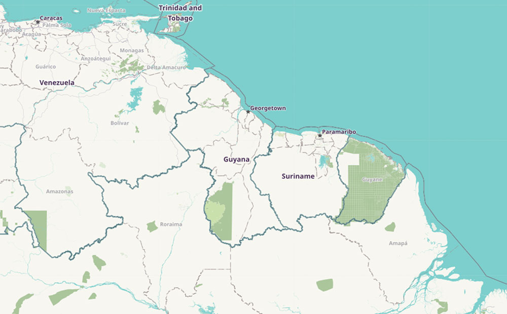
Enhancing GIS Capacity with OpenStreetMap
We’re working with the Inter-American Development Bank to improve the GIS capacity of Guyana with tools built to extract OpenStreetMap data.
-
How We Select Projects
As a mission-based organization, how we select the projects we pursue is an ongoing conversation at Azavea. We share our thought process here.
-
Using ArcMap, R, and Adobe Illustrator to Create Data Driven Infographics
Learn to create a series of data-driven infographics in the context of a project that evaluates bus performance in each Philadelphia City Council District.