Geospatial infrastructure solutions
<- Return to all blogs
-
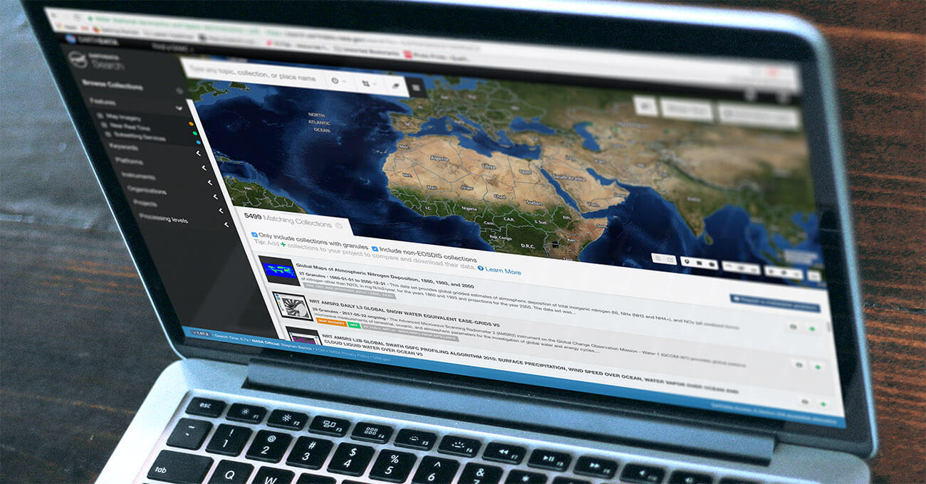
Making Earth Science Easier with Earthdata Search
Earthdata Search is an open source tool to helps field scientists, researchers, engineers, and curious citizens discover, search and access over 400 million records of remote sensing data.
-
Making Earth Science Easier with Earthdata Search
Earthdata Search is an open source tool to helps field scientists, researchers, engineers, and curious citizens discover, search and access over 400 million records of remote sensing data.
-
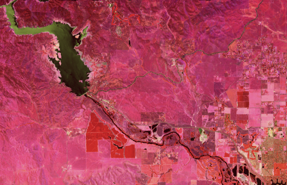
Hyperspectral satellite imagery for Earth Observation
We outline our reusable, open-source data processing pipelineВ for serving and analyzing hyperspectral imagery.
-
Building Scalable, Low-Maintenance Websites Using AWS
Most content management systems rely on a database to store content and changes to content. When a visitor loads a page, code fetches the content from the database and displays it to the user. These systems can be prone to malicious attacks via SQL injection and other techniques that target database-backed sites. They can also…
-
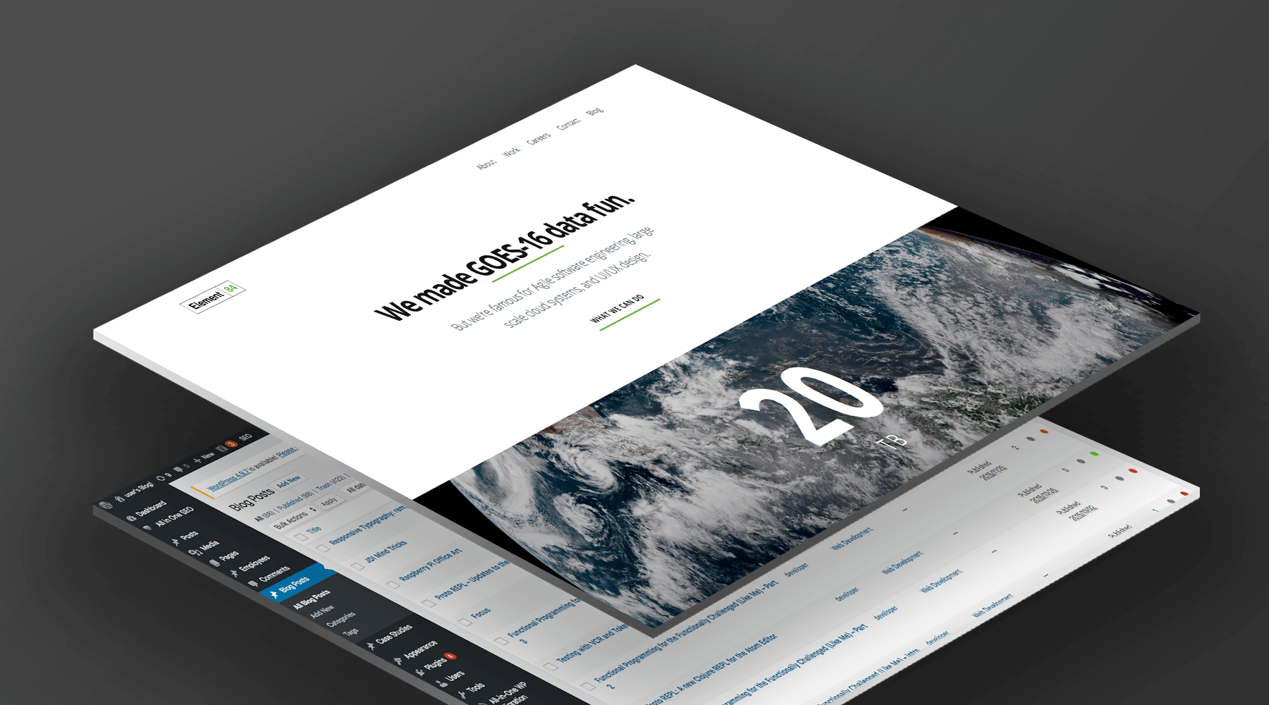
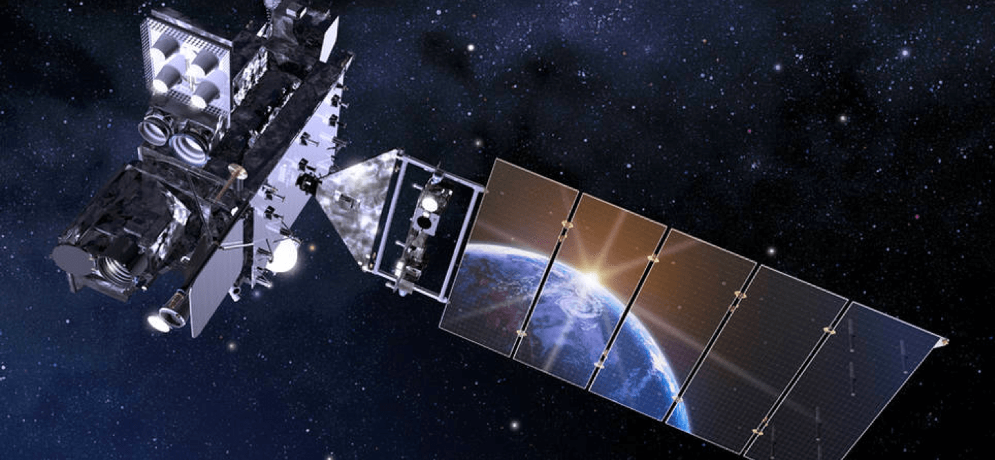
Streaming GOES-16 Data With AWS Managed Services
GOES-16 (formerly known as GOES-R) is a joint NASA-NOAA geostationary satellite used for for monitoring smoke, flooding impacts, burn scars, volcanic ash, and weather over the Americas. As important as this data is, finding and using it effectively can be difficult and often requires significant investment on the part of the end user. With experience…
-
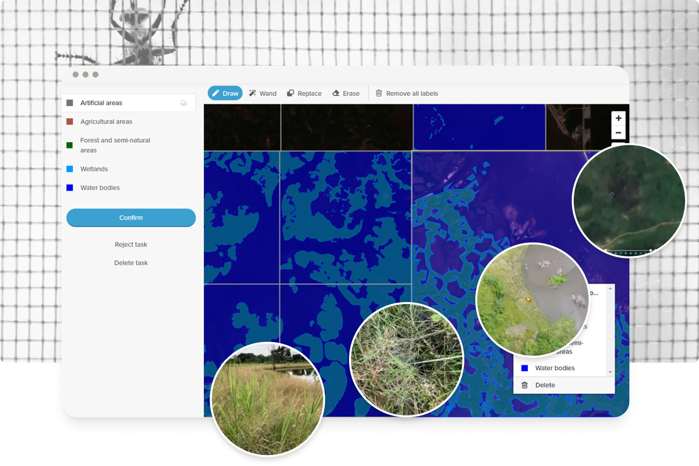
Collaborative Data Labeling Tool to Aid Study in Malaria Transmission
A research group used GroundWork to help them identify mosquito populations and prevent malaria transmission.
-
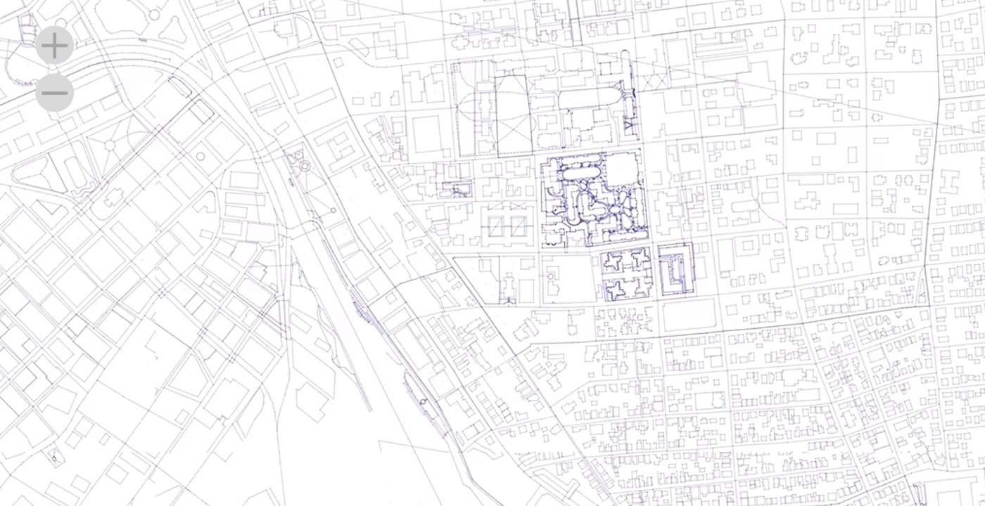
Analytics at scale on OpenStreetMap
What if you wanted to query all of OSM for all time (for every change ever)? The data exists—OpenStreetMap publishes data on the entire history of every edit made in OpenStreetMap, and there is even a version of that data published weekly by Amazon Web Services (AWS). However, handling that amount of data and transforming…