Software Engineering
<- Return to all blogs
-
Tracking Hurricane Florence with GOES-16 and SATcat
The 2018 Atlantic hurricane season is the second in a row to feature three simultaneous storms–the most recent, and most dangerous being Florence which reached Category 4 status earlier in the week (now at a Category 2) as it moves within a day of the Carolinas and US Mid-Atlantic Region. NOAA has a full suite…
-
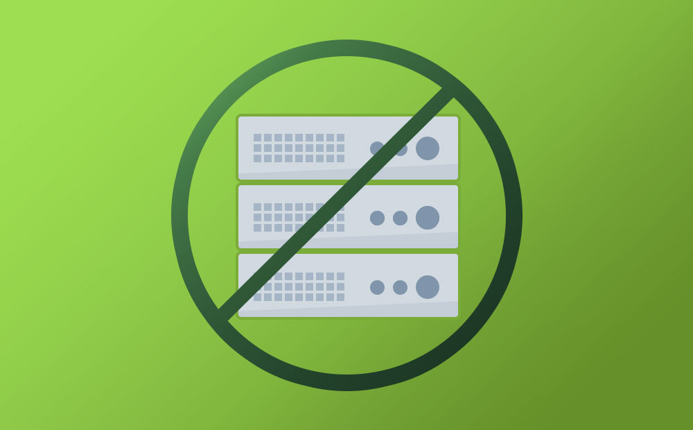
Tilegarden: Serverless Tile Rendering with AWS Lambda
This 2018 Azavea Open Source Fellowship project enables serverless Lambda-based raster and vector tile generation from PostGIS data.
-
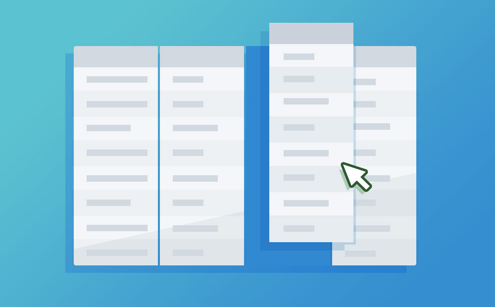
Introducing Grout: a Flexible-Schema Framework for Geospatial Apps
Grout is an open source framework that empowers non-technical administrative users to directly define and modify data at the core of their application.
-
How to Save a Mapbox GL Web Map Extent as an Image
Learn how to generate a Data URL or image file of the current map extent from a Mapbox GL Web Map.
-
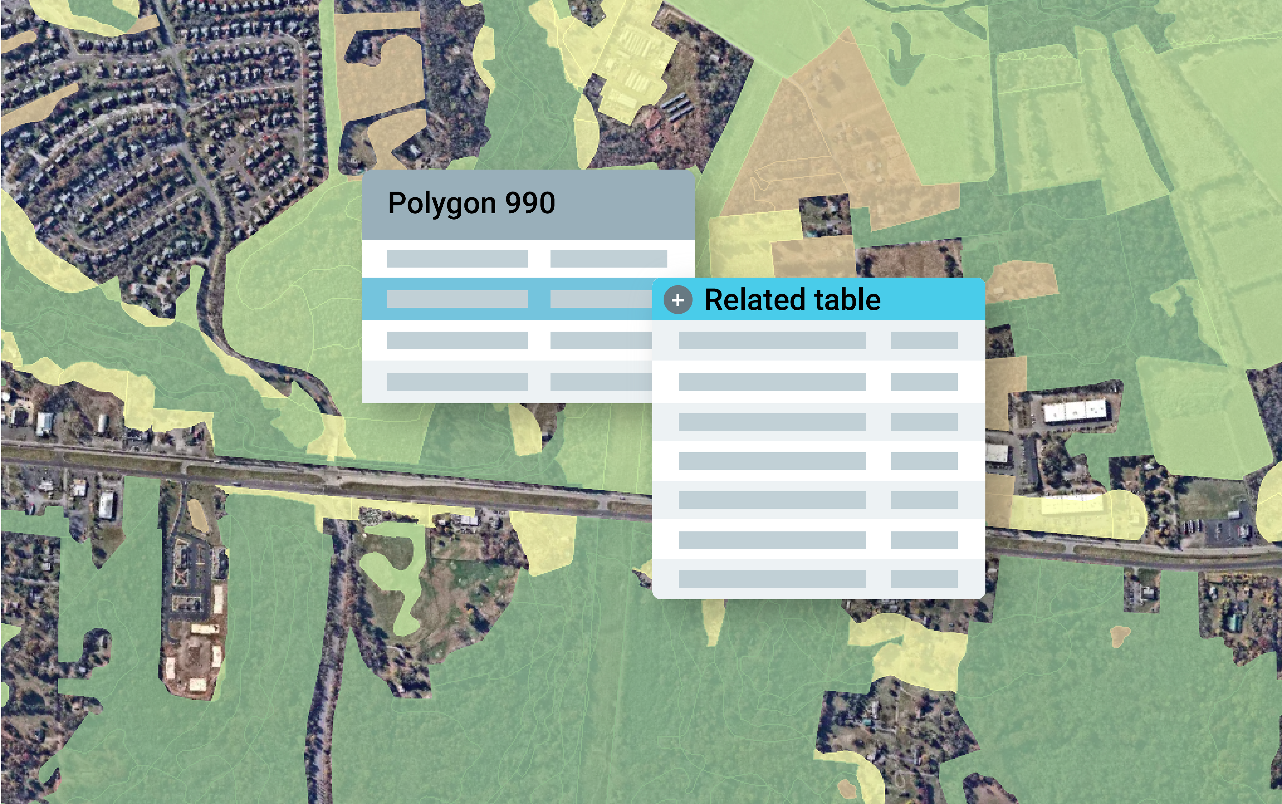
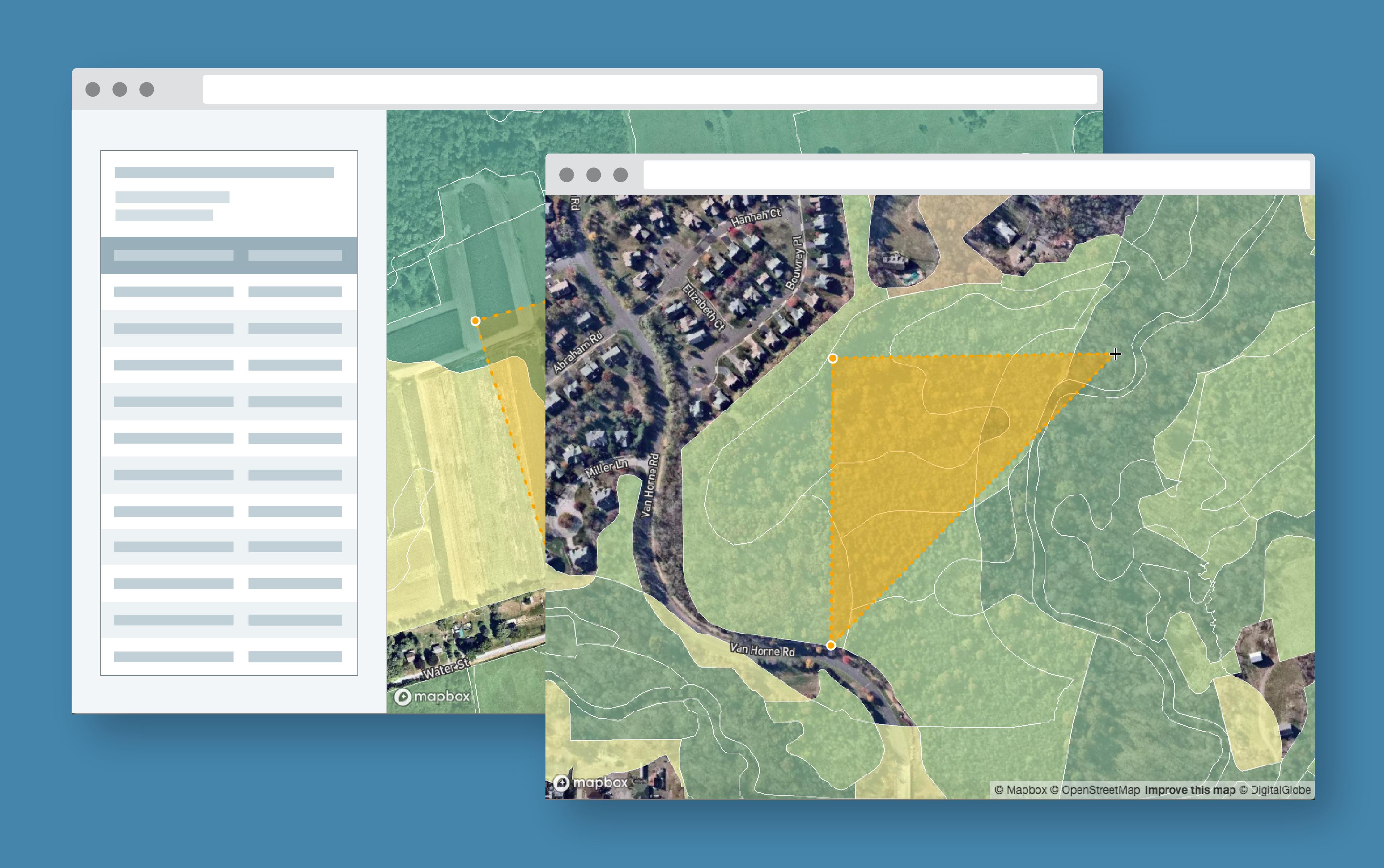
How to Convert Geodatabase Spatial Data and Related Tables to Vector Tiles
Use this open source data processing pipeline to convert geodatabase files to vector tiles for use in a web application.
-
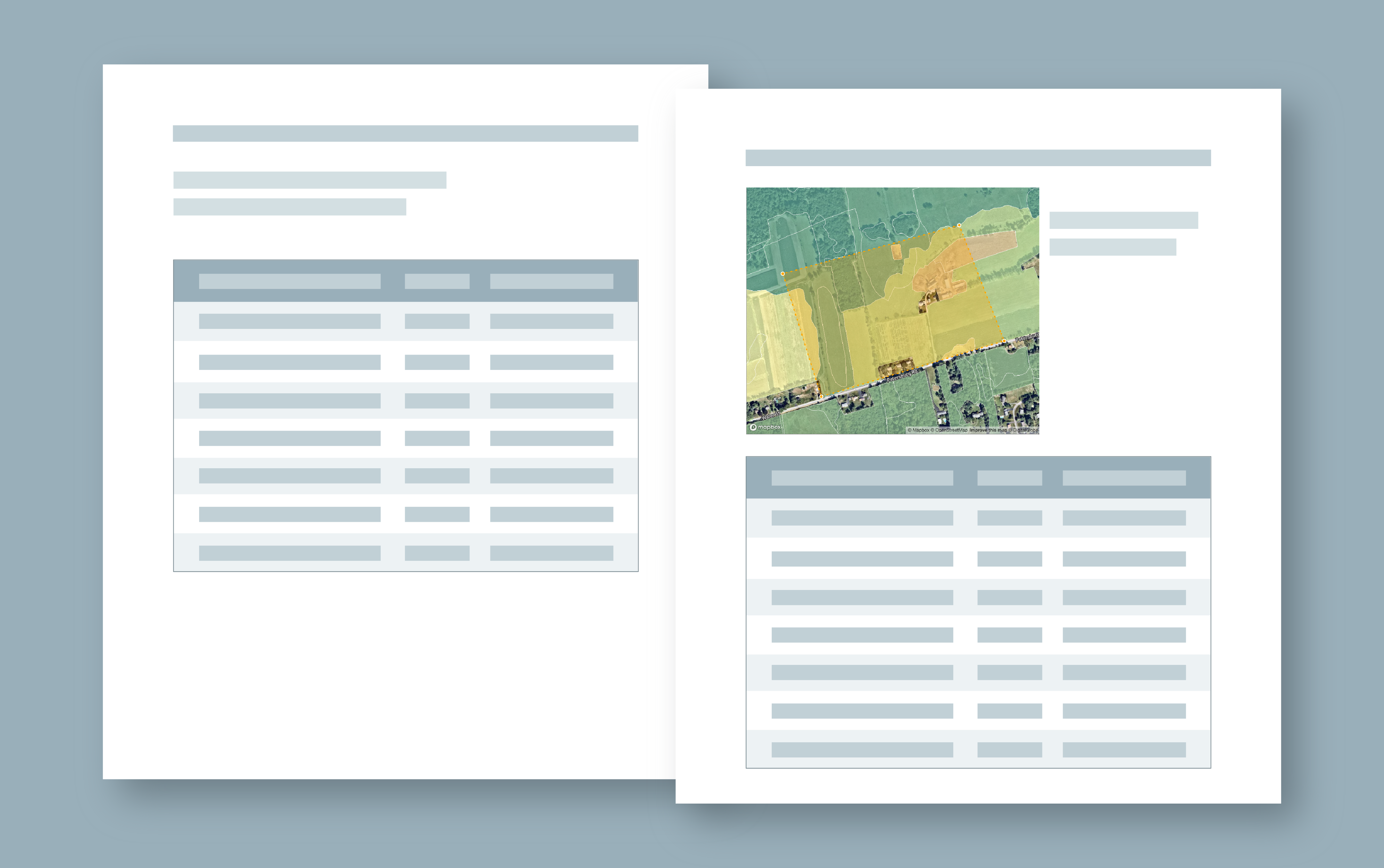
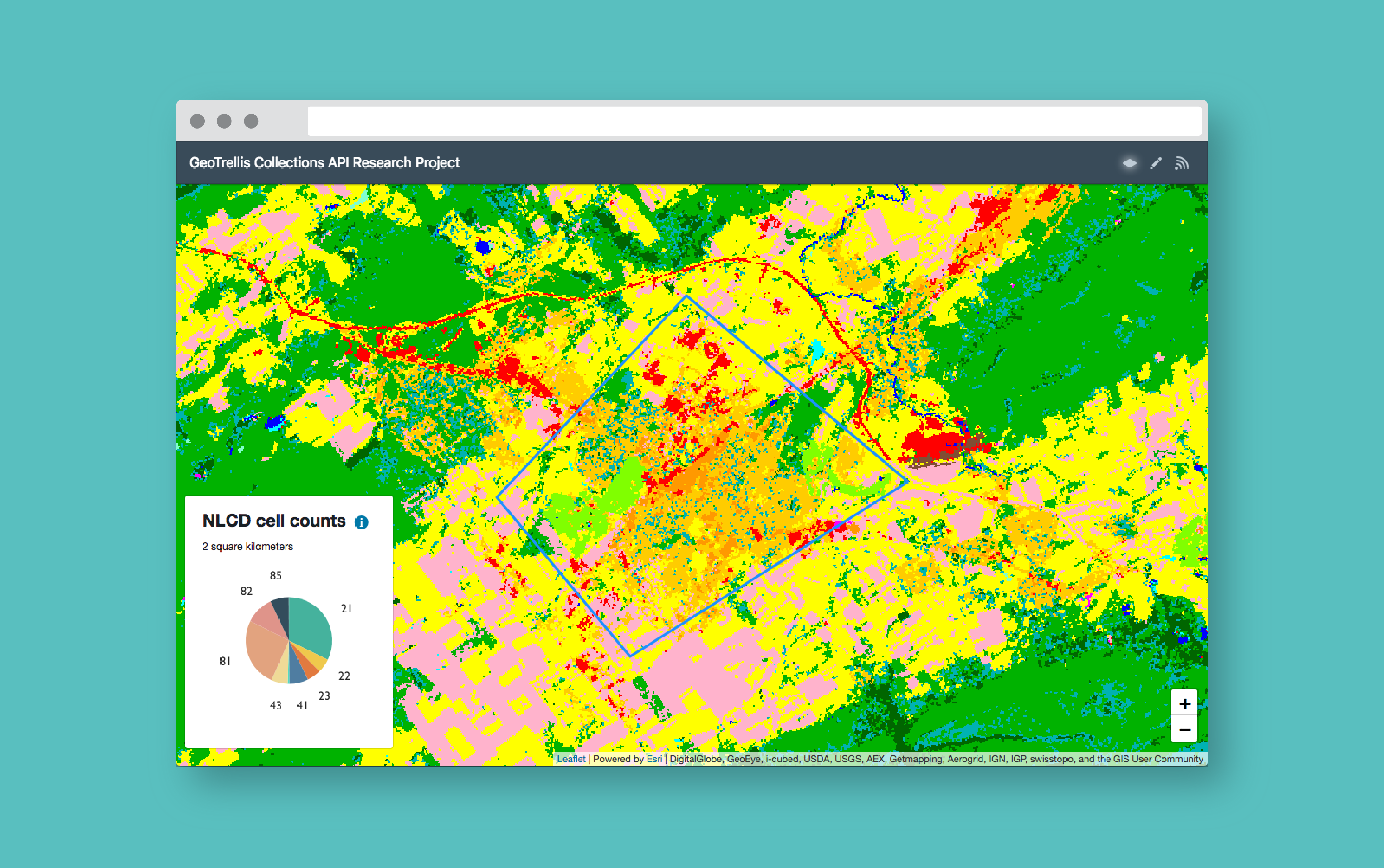
Exploring Protected Wildlife Habitat for Every Property in New Jersey
This Azavea 10% Time project defines a process for converting big data files to vector tiles and allows a user to identify habitat areas in need of protection.
-
Generating Pyramided Tiles from a GeoTIFF using GeoTrellis
A tutorial for generating pyramided map tiles (also called Slippy Map tiles) from a GeoTIFF using GeoTrellis, which can be used in Leaflet or OpenLayers.
-
Provisioning ACM Certificates on AWS with Terraform
Learn how to create and validate certificates with a reusable Terraform module.

-
JDI Mind Tricks
I have always used a REPL driven approach to Clojure development and this has been very productive, but at times I have really missed the old school approach of setting break points and stepping through code, examining variables along the way. While there are some very capable solutions that get me part of the way…
-
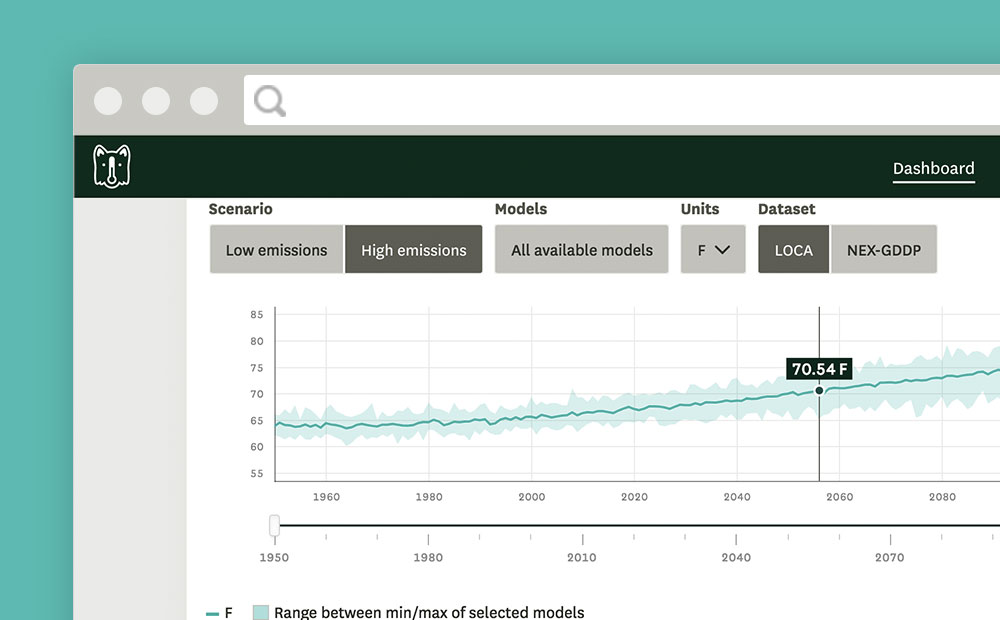
D3 chart data scrubber in Angular
Open-source code with instructions to create an interactive feature like a data scrubber in Angular (Angular 2, Angular 4+) when mousing over a d3.js chart or visualization.