Geospatial
<- Return to all blogs
-

An ‘Atypical’ Approach to Analyzing Tree Canopy Cover
In this post, we describe our experience working with TreePeople to analyze tree canopy cover.
-
An вҖҳAtypicalвҖҷ Approach to Analyzing Tree Canopy Cover
In this post, we describe our experience working with TreePeople to analyze tree canopy cover.
-
Good Planning Begins with Good Data: Mapping Tools for Community Organizers
In this post, we detail the most interesting topics and questions from a course run by the City of Philadelphia’s City Planning Commission for community organizers.
-
Which Candidates for Governor of Pennsylvania Support Open Data?
In this post we outline which candidates for Governor of Pennsylvania support open data principles.

-
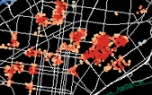
Analyzing Philadelphia Crash Data
In this blog, we share the workflow and tools used in the GIS part of our analysis of Philadelphia crash data.
-
Philadelphia Bursts with Resources and Support for Women in Tech (Part 2)
Continuing our discussion on the immense resources and support for women in tech in Philadelphia, we interviewedВ Yasmine Mustafa,В the founder and co-organizer of Girl Develop It Philadelphia to learn about what makes Philadelphia a great place for women in tech.

-
Philadelphia Bursts with Resources and Support for Women in Tech (Part 1)
In this blog, we highlight unique opportunities, resources, and groups for women in tech throughout the Philadelphia region.

-
Legacy of Roger Tomlinson, Father of GIS, Continues
Roger Tomlinson was a geographer and researcher who created the first computerized Geographic Information System while working for the Canadian government.

-
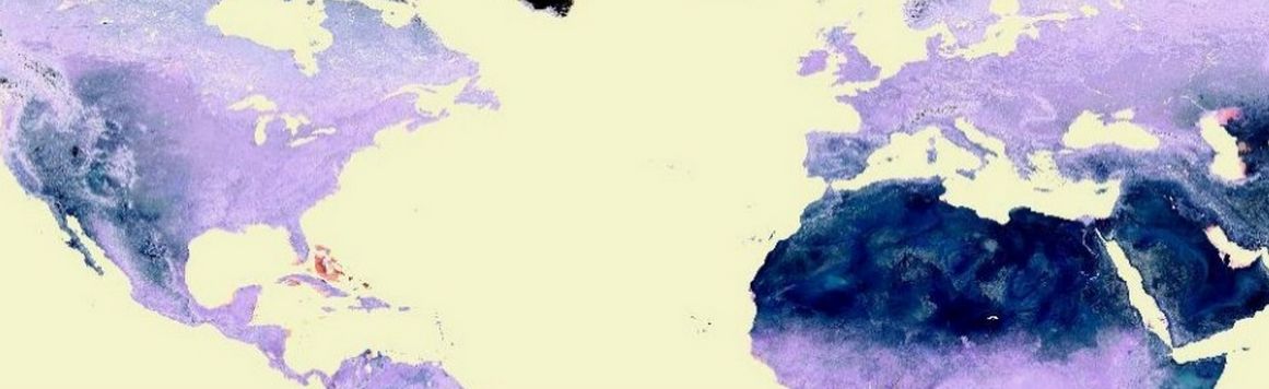
A World of Projection Distortions
We discuss common map projections and projection distortions.
-
Evolution of GIS Attribute Data from Collection to Cleaning
Step by step guide to prepping GIS attribute data, from data collection to cleaning, in the context of an Azavea Summer of Maps project completed for the Pennsylvania Horticultural Society.

-
Five Technology Trends Every Nonprofit Needs to Know
We sought to identify 5 actual technology trends (not just buzz) that will have a significant impact on the nonprofit sector.