Geospatial
<- Return to all blogs
-
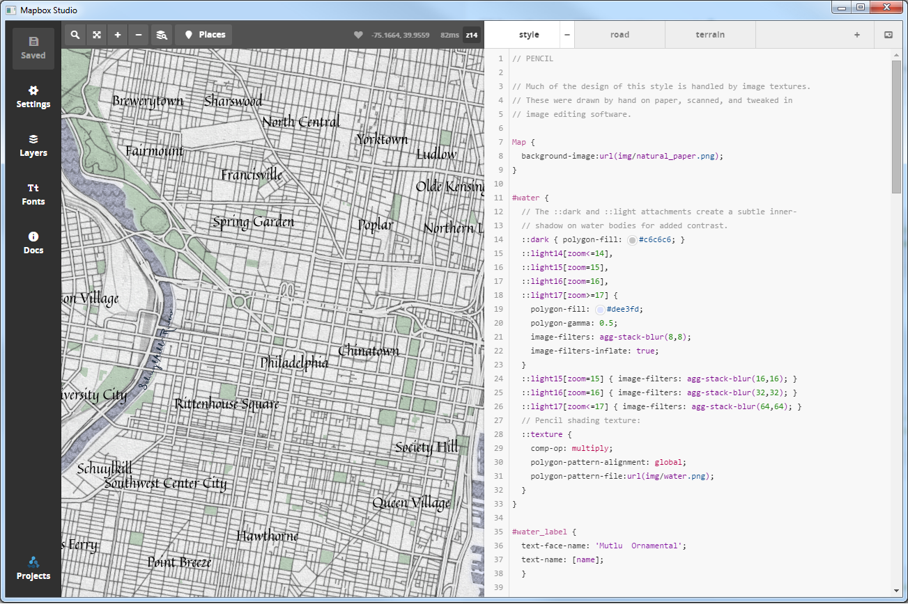
Five New GIS Tools in 2014
We discuss five exciting GIS tools released in 2014 that are sure to grow in 2015.
-
Five New GIS Tools in 2014
We discuss five exciting GIS tools released in 2014 that are sure to grow in 2015.
-
The Geographic Context of #MediaInContext
In this blog we discuss our involvement in a media innovation hackathon called #MediaInContext.

-
A New Vision for Accessible Maps
In this blog, we discuss how, as mapmakers, we can keep in mind individuals with visual impairment including low vision and color blindness.
-
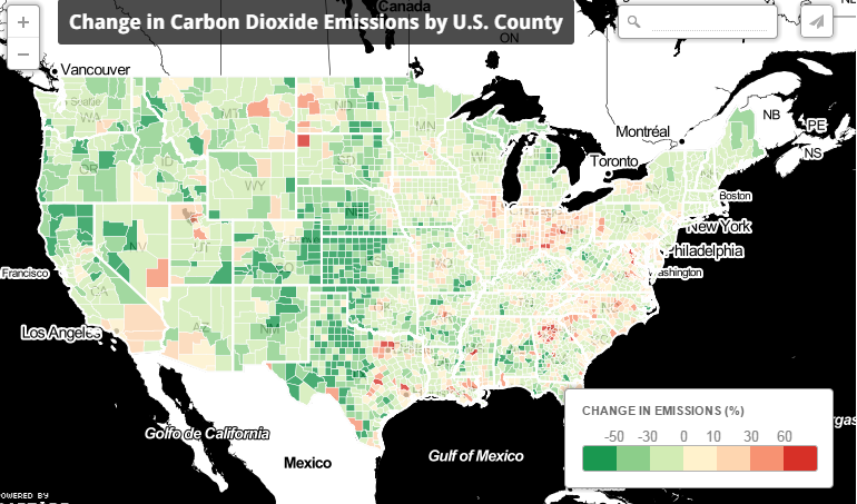
Mission Emission: Analyzing and Mapping CO2 Emissions
In this blog, we discuss our work estimating and mapping CO2 emissions between 1997 and 2010.
-
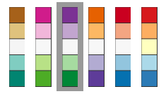
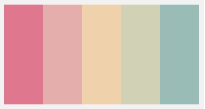
4 Cartography Color Tips Hue Should Know
In this blog, we compile some tips on the thoughtful use of color in cartographic design.
-
Daytime Population Estimation and its Effect on Risk Terrain Modeling of Crime
In this blog, we discuss our experience with daytime population estimation and its effect on risk terrain modeling of crime.

-
A Spatial Tale of Five Cities: the Consortium for Building Energy Innovation
In this blog we discuss our work with the Consortium for Building Energy Innovation.

-
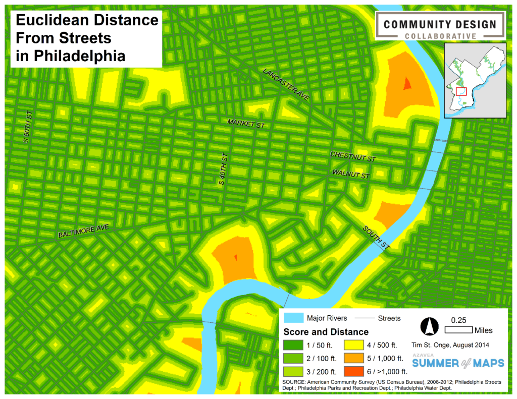
Creating a Cost Distance Surface to Measure Park Access
In this blog we discuss creating a cost distance surface to measure park access.
-
Raster Versus Vector Visualization
In this blog, we compare raster and vector visualization, and describe our work with Girlstart and City Harvest, two east-coast-based non-profits.

-
Lessons in Cartography
Cartography tips and tricks related to color palates, labels, data frames, and map extents.
