All blog posts
<- View categories
-
Announcing VDD Core
In this post we roll out VDD Core, a Clojure open source library.
-
Announcing VDD Core
In this post we roll out VDD Core, a Clojure open source library.
-
Accounting for Uncertainty with Empirical Bayes Smoothing
In this blog, we describe our experience accounting for uncertainty with empirical bayes smoothing.

-
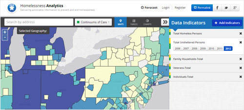
The Homelessness Analytics Application: Access to Hundreds of Homelessness Indicators Nationwide
In this post, we feature a new homelessness analytics application that provides access to hundreds of homelessness indicators nationwide
-
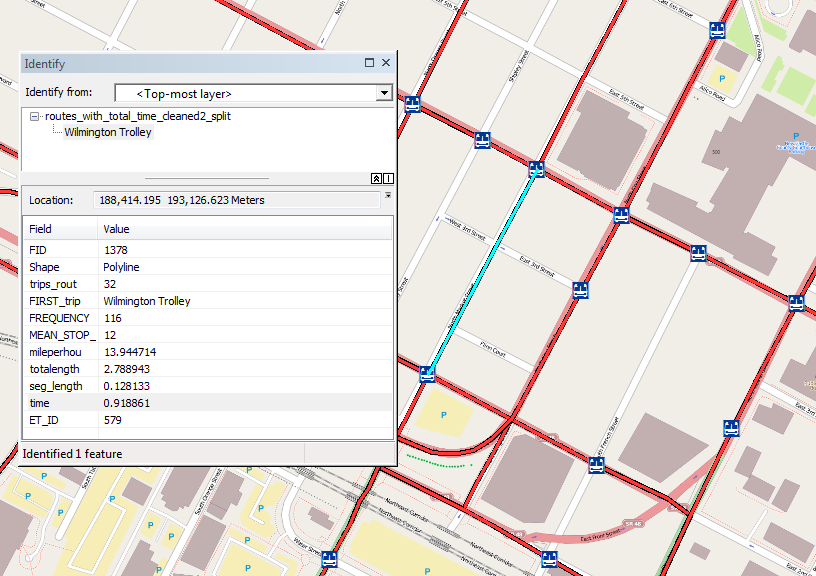
Using GTFS Data to Generate Bus Routes with Travel Time
We outline our work on a tool that allows the DPR’s GIS department to input the type of recreation (such as playgrounds, basketball courts, swimming pools, etc.), buffer around those locations and summarize the population within those buffers using GTFS data.
-
New Web-based Application Provides Critical Information on Homelessness Nationwide
The Homelessness Analytics application provides users with access to national, state, and local data about homelessness among both veterans and the general population including risk and protective factors, support services and resources.
-
Github pull requests made easy
In this post, we cover how to simplify the Github pull request process.
-
Using Git Log to Show Last Month's Commits
In this post we discuss our experience using Git Log as a record of commits for a set period of time.
-
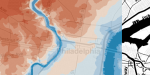
Viewing Raster Data with GeoTrellis 0.8.1
In this blog post, we’ll take a look at some Pennsylvania elevation data using the new GeoTrellis admin tool.
-
NSF SBIR Grant Awarded to Develop a Web-based Historical Geocoder
The Temporal Geocoder will enable historians, librarians, archivists, scholars and the public to assign geographic locations to historical materials housed in libraries, archives and museums, enabling broader access and location-based searching.
-
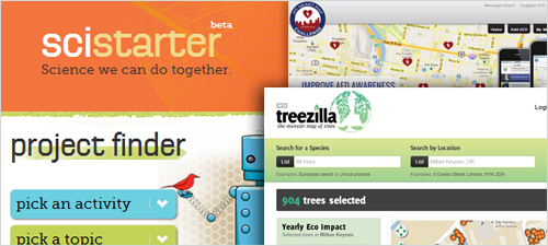
What is “Citizen Science”?
In this post, we define citizen science and explain how we’ve engaged with the concept as an organization.