All blog posts
<- View categories
-
Easy Testing with Android Studio
This guide demonstrates how to get your Test environment in Android Studio up and running using the Gradle build system.
-
Easy Testing with Android Studio
This guide demonstrates how to get your Test environment in Android Studio up and running using the Gradle build system.
-
DRY Up Your Vagrant Files
In this post we describe our experience applying the DRY principle while using a Vagrant file to launch a Riak cluster on Amazon Web Services (AWS) Elastic Compute Cloud (EC2).
-
Calculating Travelsheds and Transit Accessibility with GeoTrellis Transit
In this blog, we discuss our experience calculating travelsheds and transit accessibility using GeoTrellis Transit.
-
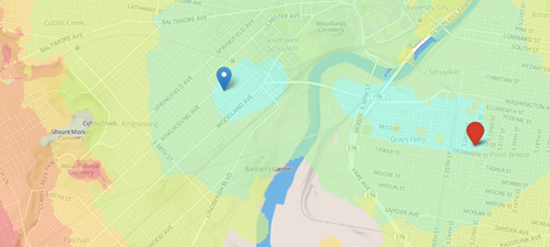
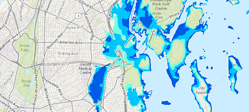
Assessing Risk and Identifying Nature-based Solutions with Coastal Resilience 2.0
In this blog, we dive into our work with the Nature Conservancy to build a framework that would enable them to integrate ecological and socio-economic data and applications into one unified costal resilience platform.
-
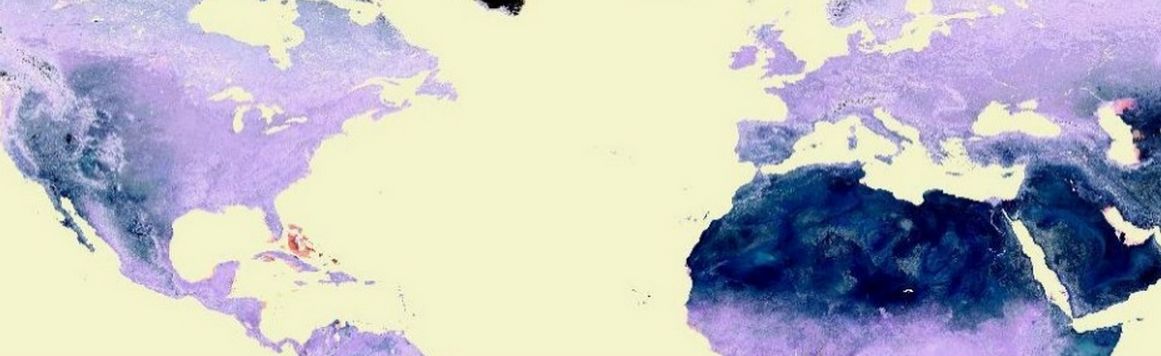
A World of Projection Distortions
We discuss common map projections and projection distortions.
-
Evolution of GIS Attribute Data from Collection to Cleaning
Step by step guide to prepping GIS attribute data, from data collection to cleaning, in the context of an Azavea Summer of Maps project completed for the Pennsylvania Horticultural Society.

-
Five Technology Trends Every Nonprofit Needs to Know
We sought to identify 5 actual technology trends (not just buzz) that will have a significant impact on the nonprofit sector.
-
How to Manipulate Big Data for Use in ArcMap
How to use the open source program PGAdmin to prep large data sets for use in ArcMap.

-
Efficient Delegation Using the Objective C Reflection API
In this post we describe how to replace boilerplate delegation methods with two methods using the reflection API of Objective C.
-
Using Raster Analysis in ArcMap to Create a Normalized Weighted Risk Index
Learn how to conduct a raster analysis in Esri Arcmap to create a normalized weighted risk index, explained in the context of an Azavea Summer of Maps project completed for the Delaware Valley Association for the Education of Young Children.
