All blog posts
<- View categories
-
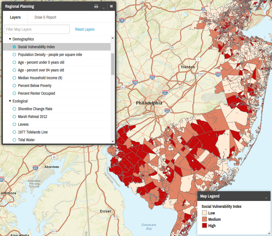
Outline of JavaScript Framework for Mapping Plugin Inspired by React.js
This article presents a high level technical overview for the implementation of the Regional Planning plugin for the Coastal Resilience GeositeFramework.
-
Outline of JavaScript Framework for Mapping Plugin Inspired by React.js
This article presents a high level technical overview for the implementation of the Regional Planning plugin for the Coastal Resilience GeositeFramework.
-
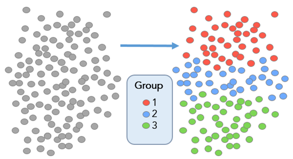
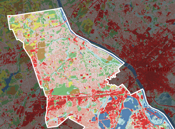
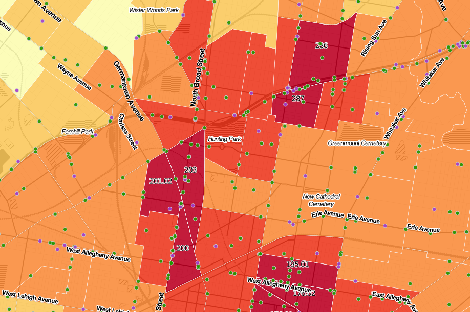
Defining Communities with ESRI’s Grouping Analysis Tool
In this post, we discuss how to define communities with ESRI’s grouping analysis tool, a powerful method aiding with data comprehension.
-
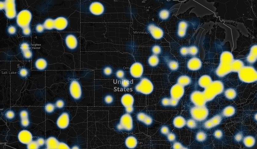
Using Shapely and Fiona to Locate High-Risk Traffic Areas
This post discusses how to process traffic incident data to determine high-risk traffic areas.
-
Model My Watershed: Tool for Analysis of Land Use Change Impacts
In this post, we discuss Model My Watershed, a tool designed to analyze land use change impacts.
-
Two Research Grants Awarded for New Imagery Processing Tools
We discuss two research grants we were awarded for our imagery processing tools: Raster Foundry and ModelLab.
-
Building Interactive D3 Dashboards with CARTO Web Maps
This post details the design process we used to build a D3 dashboard, highlighting some of the key pieces of code needed to get CARTO and D3 talking to one another.
-
Creating an Interactive Visualization of Air Pollution for a Museum
This post describes our design process and the evolution of an interactive application relating to air pollution monitoring in a museum.
-
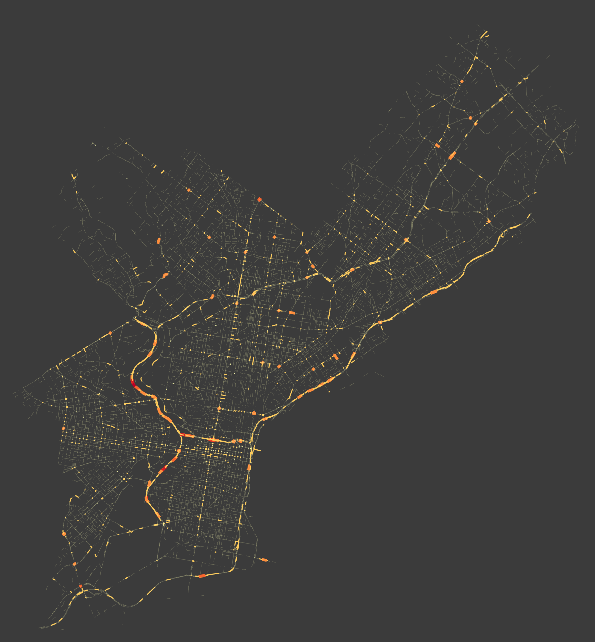
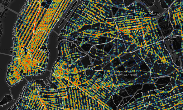
Geography of Crashes in Philadelphia
In this post, we analyze the relationship between severe road crashes, the geography of crashes, and demographics.
-
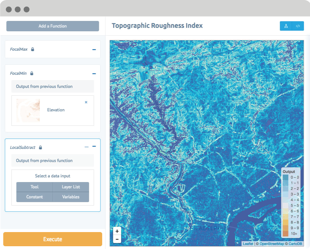
Using NAIP Imagery and a Texture Raster to Model the Urban Forest
This post walks through a method to help increase accuracy of classification by using a texture raster to distinguish between trees and other vegetation.

-
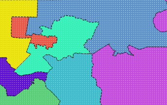
Redistricting Roundup: 2016 Edition
In this blog we give an update on all of the redistricting litigation and news we tracked during the 2016 election cycle.