All blog posts
<- View categories
-
Three (Earth) Observations from Sat Summit 2018
Here are our key takeaways from SatSummit and some thoughts to help drive innovation related to earth observation data toward impactful solutions.
-
Three (Earth) Observations from Sat Summit 2018
Here are our key takeaways from SatSummit and some thoughts to help drive innovation related to earth observation data toward impactful solutions.
-
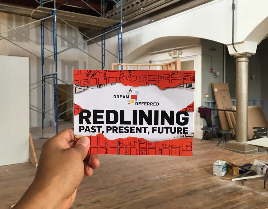
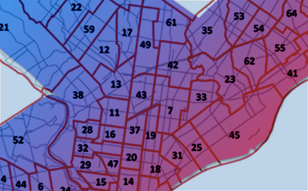
Public Redlining Exhibit Showcases Azavea’s Data Analysis Work
In September 2018, a free exhibit opened to the public on the history of redlining in Philadelphia. Read about how our Data Analytics team was involved.
-
Cleaning Philadelphia Campaign Finance Data with R
How to categorize, clean, filter, and prepare Philadelphia’s campaign finance data for analysis, mapping, and visualization.
-
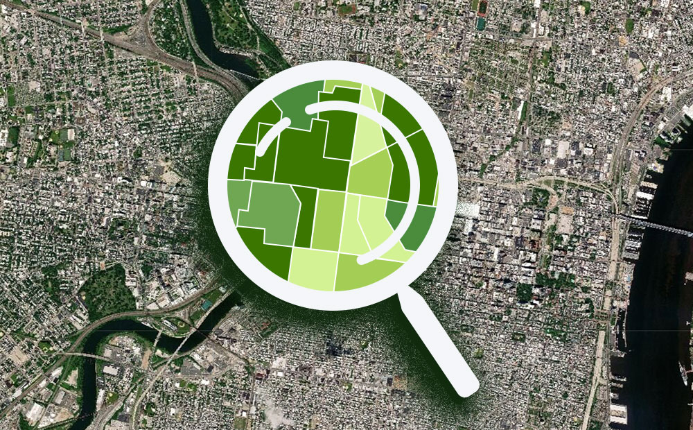
Geospatial Analysis of Utility Insecurity in Philadelphia
An analysis of areas vulnerable to utility insecurity completed for the Legal Clinic for the Disabled as part of the Azavea Summer of Maps program.
-
Tracking Hurricane Florence with GOES-16 and SATcat
The 2018 Atlantic hurricane season is the second in a row to feature three simultaneous storms–the most recent, and most dangerous being Florence which reached Category 4 status earlier in the week (now at a Category 2) as it moves within a day of the Carolinas and US Mid-Atlantic Region. NOAA has a full suite…
-
Tilegarden: Serverless Tile Rendering with AWS Lambda
This 2018 Azavea Open Source Fellowship project enables serverless Lambda-based raster and vector tile generation from PostGIS data.
-
Introducing Grout: a Flexible-Schema Framework for Geospatial Apps
Grout is an open source framework that empowers non-technical administrative users to directly define and modify data at the core of their application.
-
How to Save a Mapbox GL Web Map Extent as an Image
Learn how to generate a Data URL or image file of the current map extent from a Mapbox GL Web Map.
-
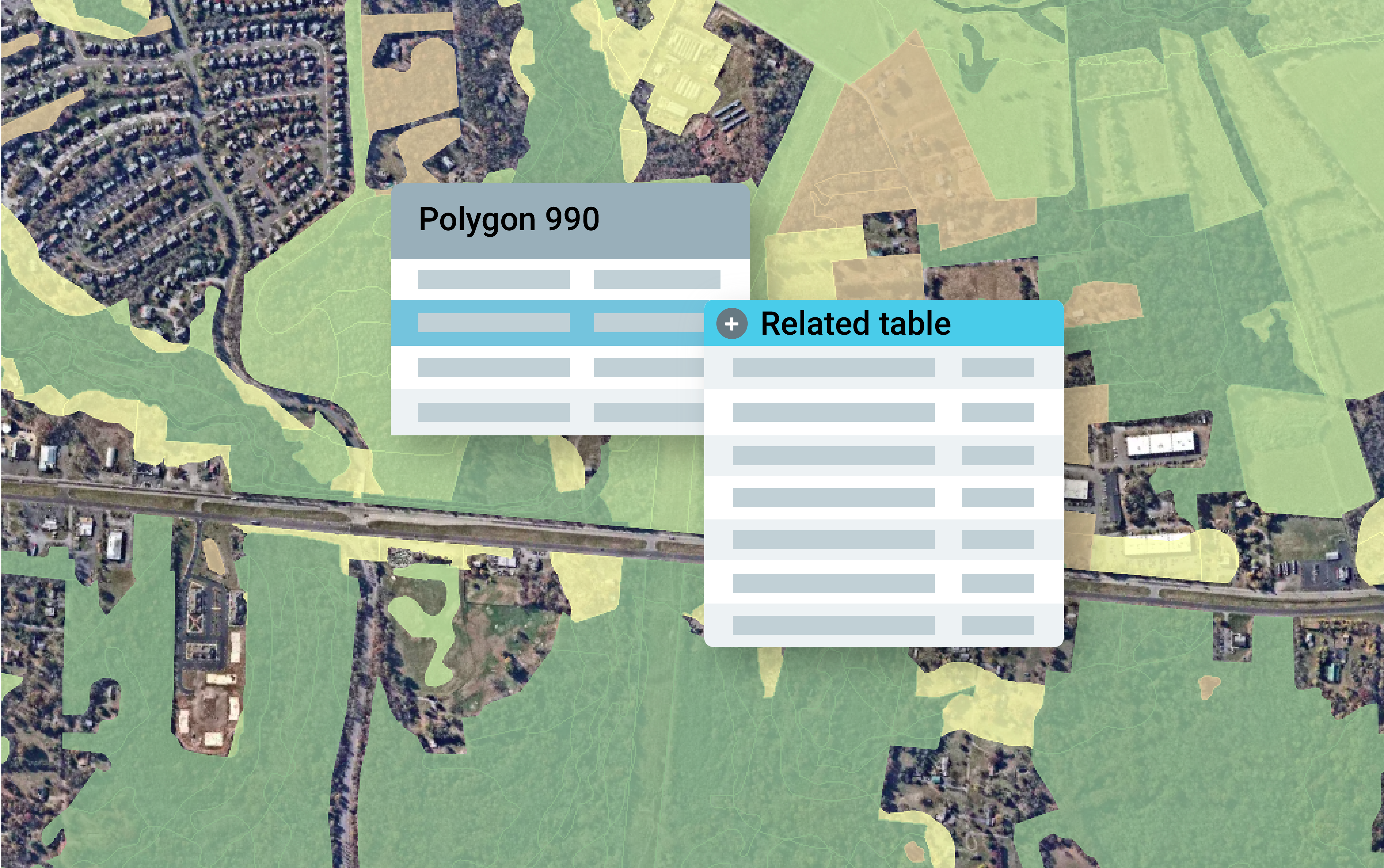
How to Convert Geodatabase Spatial Data and Related Tables to Vector Tiles
Use this open source data processing pipeline to convert geodatabase files to vector tiles for use in a web application.
-
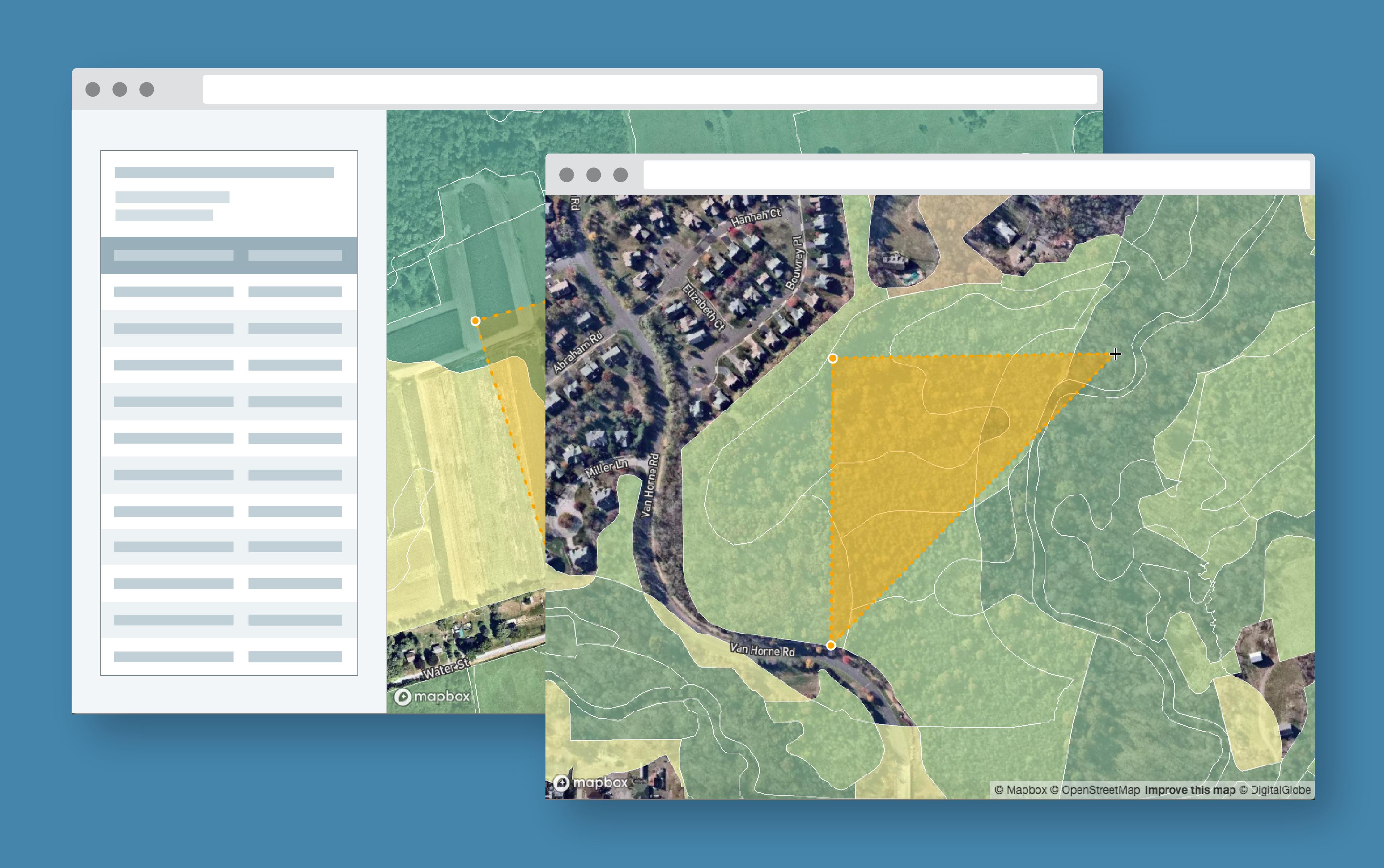
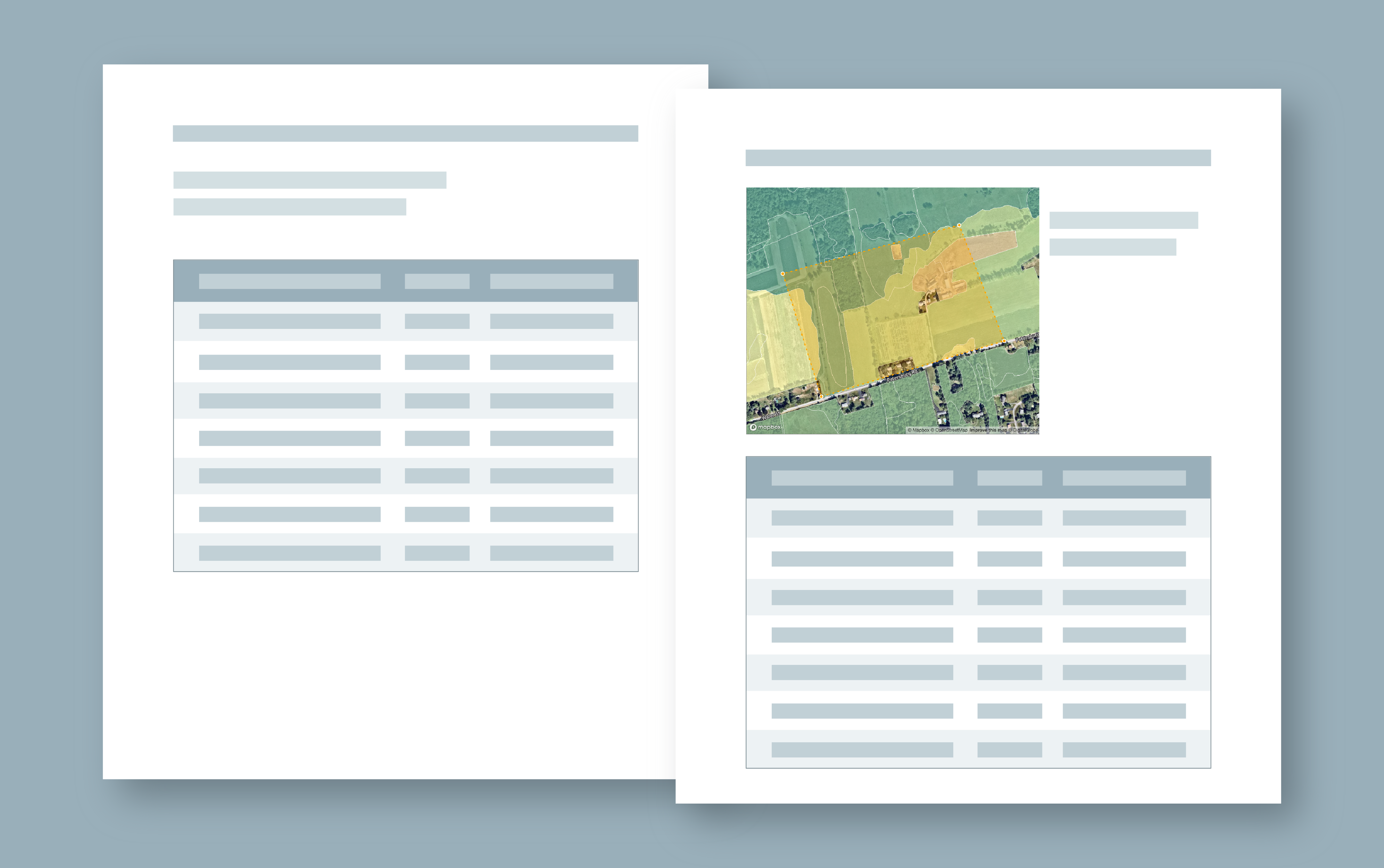
Exploring Protected Wildlife Habitat for Every Property in New Jersey
This Azavea 10% Time project defines a process for converting big data files to vector tiles and allows a user to identify habitat areas in need of protection.