Author: Xiao Wu
<- Return to all blogs
-
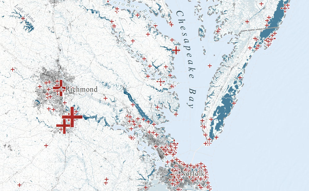
Digitizing Maps Using Remote Sensing Techniques in ArcMap and R
Learn how to use image processing and remote sensing techniques in R and ArcGIS to digitize spatial data from image or PDF files.
-
Digitizing Maps Using Remote Sensing Techniques in ArcMap and R
Learn how to use image processing and remote sensing techniques in R and ArcGIS to digitize spatial data from image or PDF files.
-
Evaluating Machine Learning Models in R: Predicting Marine Debris
Evaluating machine learning models in R with a focus on how to handle biased and imperfect data, specifically volunteer collected marine debris data.