Author: Dale Watt
<- Return to all blogs
-
Preparing Data for MaxEnt Species Distribution Modeling Using R
How to use R to turn disparate environmental data into clean, usable raster data that can be fed into a MaxEnt species distribution model.
-
Preparing Data for MaxEnt Species Distribution Modeling Using R
How to use R to turn disparate environmental data into clean, usable raster data that can be fed into a MaxEnt species distribution model.
-
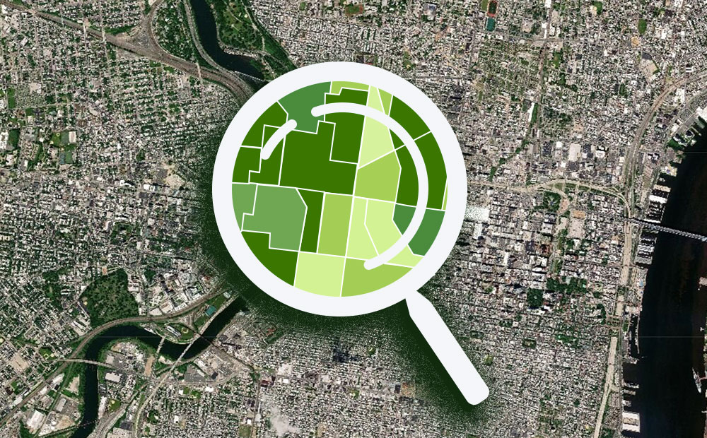
Geospatial Analysis of Utility Insecurity in Philadelphia
An analysis of areas vulnerable to utility insecurity completed for the Legal Clinic for the Disabled as part of the Azavea Summer of Maps program.