Author: Daniel McGlone
<- Return to all blogs
-
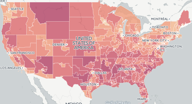
Which Congressional Districts are Over and Under Populated
We calculated which congressional districts have become over or underpopulated since they were last drawn.
-
Which Congressional Districts are Over and Under Populated
We calculated which congressional districts have become over or underpopulated since they were last drawn.
-
Scoring Philadelphia’s City Council Districts for Children’s Health and Well-being
Scoring Philadelphia City Council districts on assets and risks using a weighted spatial analysis model in R and Python.

-
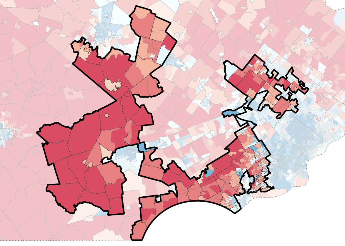
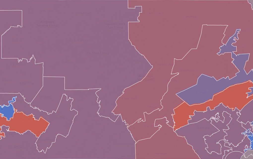
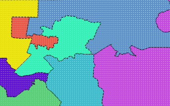
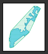
Exploring Pennsylvania’s Gerrymandered Congressional Districts
Explore Pennsylvania’s soon-to-be-defunct gerrymandered Congressional districts through info prepared for a U.S. Federal Court expert witness report.
-
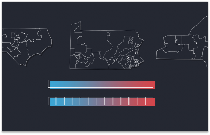
The Most Gerrymandered States Ranked by Efficiency Gap and Seat Advantage
Learn about our methodology for ranking the efficiency gap for each Congressional delegation in all 50 states and visualize the results.
-
The Evolution of Our Redistricting and Gerrymandering Work
In part 1 of our series on Azavea’s redistricting and gerrymandering work, we look at the history of our involvement in this space and what we’re currently working on. Gerrymandering, compactness, contiguity, the efficiency gap. These are the kinds of words that make a lot of redistricting nerds excited these days. Rarely does the application…
-
Redistricting Roundup: 2016 Edition
In this blog we give an update on all of the redistricting litigation and news we tracked during the 2016 election cycle.
-
2015 Fatal Crash Data by Congressional District Released
In this post, we take a look at the geography of fatal crashes by Congressional district in the U.S in response to the recent release of the 2015 Traffic Fatalities data and call to action.
-
Measuring District Compactness in PostGIS
In this blog we discuss strategies for measuring district compactness in PostGIS.
-
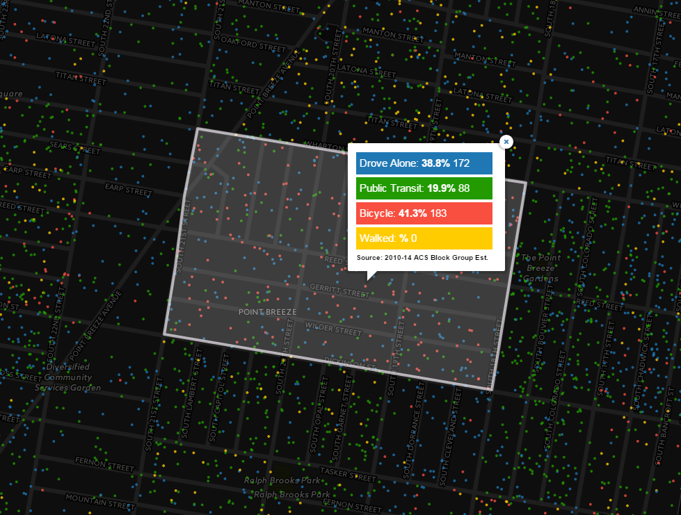
How Philadelphians Get To Work: Calculating Mode Share and Dot Density Maps in CartoDB
In this post we calculate mode share and dot density maps in CartoDB to depict how Philadelphians get to work.
-
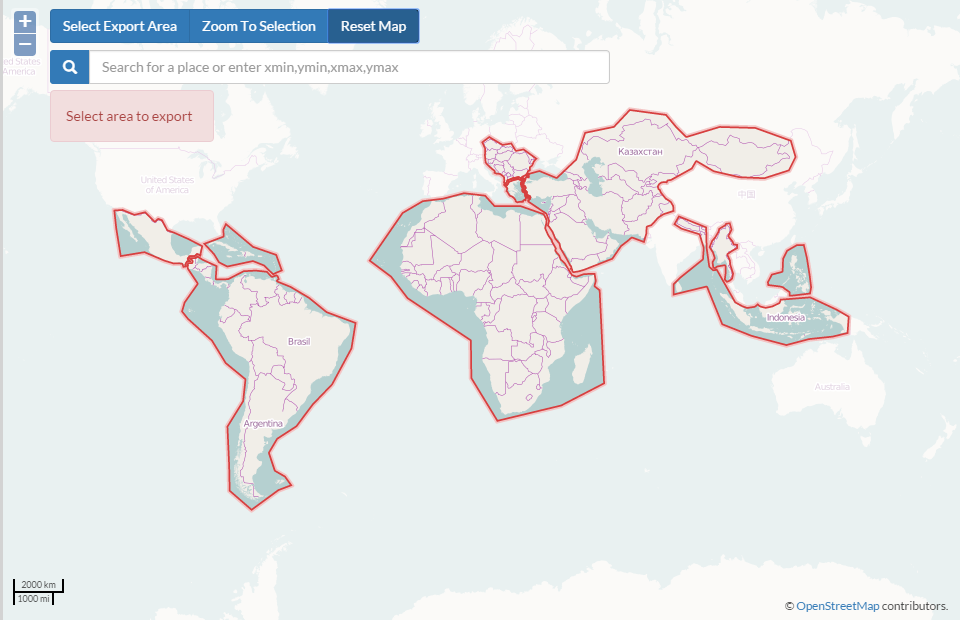
Tools for Getting Data out of OpenStreetMap and into Desktop GIS
In this post we discuss tools used to get data out of OpenStreetMap, and into Desktop GIS.